
Note: As a winter storm continues to pummel the Chicago area, you can find the latest forecast here.
Chicago-area residents were expected to encounter "near-blizzard" conditions beginning late Friday, as a second wave of a winter storm system descended on the area.
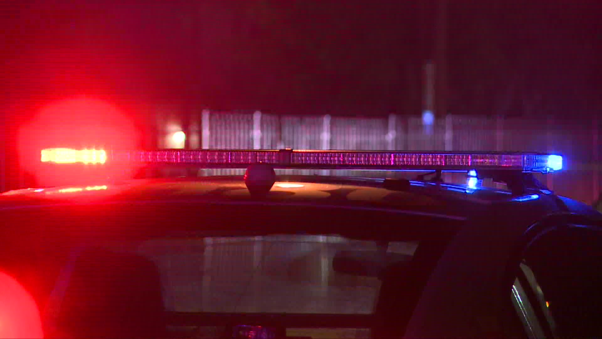
In a news conference, Chicago Office of Emergency Management and Communication Executive Director Jose Tirado warned residents about upcoming travel, as more snow was expected.
With wind chills expected to reach 30 degrees below zero starting on Saturday night, Chicago Fire Commissioner Annette Nance-Holt noted a jarring statistic.
"Limit your time outdoors," Nance-Holt said. "We have not seen cold weather like this since 2019."
Here are the latest headlines from across the area as the storm continues.
10 p.m. Chicago to see coldest temperatures in 5 years. Here's how to stay safe in the dangerous cold
Local

The dangerously cold temperatures coming to the Chicago area are something the region hasn't seen since prior to the COVID-19 pandemic.
Windy conditions and cold temperatures will lead to wind chill values between 15 and 30 degrees below zero beginning Saturday night and lasting through Tuesday, according to NBC 5 Storm Team meteorologists.
Feeling out of the loop? We'll catch you up on the Chicago news you need to know. Sign up for the weekly Chicago Catch-Up newsletter here.
Head here for advice on what precautions to take - and some helpful reminders - ahead of the brutal cold.
8:30 p.m. Golf dome in Frankfort collapses as snowstorm pummels the Chicago area
A golf dome in south suburban Frankfort collapsed on Friday afternoon when a winter storm brought several inches of snow to the Chicago area.
The roof of the SPG Green Garden Country Club's indoor driving range balloon dome began to slump after the area saw rain, heavy snow and wind, according to Fire Chief Sean Fierce of the Frankfort Fire Protection District.
A lightpole inside the dome punctured the roof, causing it to "burst like popping a balloon," Fierce said.
No injuries was reported. The dome was deemed unusable following the collapse.
6:50 p.m. Over 1,100 flights canceled at Chicago airports
As of 6:50 p.m. Friday, more than 1,100 flights had been canceled at Chicago's O'Hare and Midway airports.
According to FlyChicago, 855 flights had been canceled at O'Hare on Friday while 279 flights were canceled at Midway International Airport.
6:30 p.m. Blowing snow, reduced visibility likely as snow picks back up tonight
Following a current lull in precipitation, hazardous travel conditions are expected to return as blowing snow and reduced visibility are likely with snow picking back up this evening, according to the NWS.
5:35 p.m. 'Near-blizzard conditions' possible overnight
While the evening commute has not been as treacherous as was anticipated this morning, very dangerous travel conditions are expected overnight as the National Weather Service warns of "near-blizzard" conditions.
4 p.m. Updated timing for snowfall ahead of evening commute
2-5 p.m.
"Rain and a rain/snow mix will continue for much of the area through the afternoon before a transition back to all snow areawide," the NWS reported.
Several counties remain under a winter storm warning, including McHenry, DeKalb, Kane, DuPage, Lake, and northern and central Cook counties, where 3 to 5 inches of additional accumulation is expected.
5 p.m.-10 p.m.
Any rain that developed after the morning snow will change back to snow later Friday as the wind gets stronger, according to the NBC 5 Storm Team. Some areas, particularly in the city and south, will continue to see a rain-snow mix throughout the evening commute.
The largest snowfall totals with this wave are expected to fall after 5 p.m. and into the overnight hours as temperatures continue to drop.
With this round, areas north and northwest of Chicago are likely to see the biggest impacts.
The conditions could again make travel dangerous in parts of the area, regardless of snow totals, with high winds leading to blowing snow and dropping temperatures potentially making for icy roads in some spots.
According to the National Weather Service, the greatest travel impacts will be through the early evening hours "primarily for areas north of I-80."
4 p.m. More than 152,000 ComEd customers have power restored
ComEd announced Friday afternoon that more than 152,000 customers who lost power from this morning's storm have had their power restored, with approximately 21,000 customers remaining without power as of 3:30 p.m.
1:30 p.m. Friday's afternoon forecast
While much of the precipitation from overnight and this morning has switched from snow to rain in many parts of the Chicago area, the storm is expected to transition back into a snow-only event this evening as temperatures drop.
Here's a full look at the Friday afternoon and evening forecast.
1 p.m. What Chicago looks like right now
What does Chicago look like right now? Here's a live shot of Millennium Park as snow continues to fall.
12:45 p.m. CPS cancels after-school activities for Friday, Saturday
While Chicago Public Schools did not cancel classes Friday, the district announced it would be canceling after school activities for Friday and Saturday.
"With winds and snow increasing this afternoon, CPS is canceling after-school and out-of-school activities for both Friday, January 12 and Saturday, January 13," a letter sent to CPS families read. "This includes all athletic practices and games, and all District-run and District-sponsored after-school clubs and activities, including after-care."
The letter went on to say that GoCPS testing at the Illinois Institute of Technology will proceed as scheduled this weekend.
"We know that several schools have activities planned for the Martin Luther King Jr. Day holiday on Monday, January 15. However, since extreme cold is being predicted for both Monday and Tuesday of next week, CPS will continue monitoring the weather and will make a decision on both Monday’s events and schools being open on Tuesday as early as possible this weekend," the letter continued.
12 p.m. Another wave of accumulating snow, dangerous travel expected
The morning round brought more than 6 inches of snow to some locations and led to major travel issues and tens of thousands of power outages across the region.
The bulk of the snowfall began to subside later Friday morning, with some locations seeing a transition from snow to rain.
But another round of rain and snow is expected to move in for the afternoon and evening.
11:45 a.m.: ComEd says it has restored power to more than 100,000
During a press conference with Chicago officials, ComEd CEO Gil Quiniones said the utility had already restored service to 114,000 customers system wide.
"Currently we have additional ComEd crews working to quickly and safely restore outages in Chicago and systemwide in Northern Illinois," Quiniones said.
At 9:15 a.m., ComEd's outage map showed 96,849 without power, with the majority located in Cook County. By 10:45 a.m., the number of those without power had dropped to 78,940.
At 11:30 a.m., Quiniones said that number was roughly 76,000.
11:30 a.m.: Renter in Chicago? What to know if your heat goes out
According to officials, Chicago's ordinance requires landlords to keep the heat at at least 68 degrees from 8:30 a.m.-10:30 p.m., and 66 degrees from 10:30 p.m. and 8:30 a.m.
Landlords face fines if this doesn't happen, officials said.
11:20 a.m. Officials warn residents, migrants ahead of more snow
Chicago OEMC officials Friday afternoon held a press conference, warning residents that more snow was set to come.
"If you must travel, use extreme caution," Executive Director Jose Tirado said, adding that several more inches of snow, along with brutal cold was still on the way.
"Everyday, 24/7, OEMC's goal is to maintain safety and security for every resident of the city of Chicago in all populations, including new arrivals."
A full list of warming centers can be found here, or by calling 311.
According to Commissioner of the Chicago Department of Family and Support Services Brandie Knazze, migrants will not be asked to leave shelters over the next week, as frigid temperatures are expected.
"During the expected extreme cold weather, new arrivals who would have received a 60 day notice will not be required to leave shelter for the next week," Knazze said. "Individuals who were set to exit between January 16 and 21st will be able to remain in shelter until at least January 22."
Mayor Brandon Johnson during the press conference confirmed that the city will delay enforcing migrant shelter evictions until after next week's cold spell.
11 a.m. Brookfield Zoo to close Friday, delay opening Saturday
Brookfield Zoo joins the long list of businesses closed Friday due to the snow.
"Due to the snow storm and hazardous conditions the Chicago area is experiencing, Brookfield Zoo is closed today, January 12," a statement from the Zoo said.
The Zoo also noted that it plans to delay opening Saturday until noon.
10:45 a.m. Kane County reports 'cars in ditches'
Travel continues to be dangerous, especially in areas to the west.
"We are responding to several cars in the ditches," Kane County Sheriff's Office said. "Use caution and only travel in an emergency. There is a small break in the snow but it is going to pick up again."
10:00 a.m. Wild video shows NBC 5 reporter get nearly blown away
Things got dicey Friday morning in Romeoville, as Lisa Chavarria nearly got blown away while reporting on the storm, thanks to fierce winds.
9:45 a.m. Some counties removed from storm warning
Several Chicago area counties were downgraded to a winter weather advisory Friday morning.
Here are the latest weather alerts:
Winter storm warnings went into effect at 3 a.m. Friday for Lake, McHenry, DeKalb, Kane, DuPage and Central Cook Counties Illinois, as well as Northern LaPorte County in Indiana, and Kenosha County in Wisconsin.
That warning was expected to continue through 12 p.m. Saturday.
"Heavy snow, strong winds and dangerous conditions expected," the National Weather Service warned. "Total snow accumulations of 6 to 12 inches and wind gusts up to 45 mph expected."
"Travel could be very difficult to impossible, especially away from Lake Michigan," the NWS said, adding that the hazardous conditions were expected to impact both the morning and evening commutes."
In Lake, Porter, and Newton Counties in Indiana, and Kankakee County in Illinois, a winter weather advisory was in effect.
Around 9:30 a.m., LaSalle, Kendall Grundy, Southern Cook and Will Counties, were downgraded from a winter storm warning to a winter weather advisory.
In those parts, snow total accumulations were expected to be between 3-6 inches, as snow was expected to mix with rain at times. However, strong wind gusts of up to 45 miles per hour were expected in those parts as well, the NWS said.
9:15 a.m. Nearly 97K ComEd customers affected by outages
According to Commonwealth Edison, 96,849 customers are impacted by power outages amid the storm, with 2,268 active outages reported.
By 10:30 a.m., that number had dropped to below 80,000.
Here's how to report an outage near you.
8:43 a.m. Ground stop lifted at O'Hare
The ground stop at O'Hare International Airport has been lifted, but a ground delay remains in place.
8:39 a.m. Chicago officials respond to power outages
The Chicago Fire Department posted the following to X: "CFD and CPD responding to power outages citywide many caused by transformer issues. ComEd responding to many calls where wires are down or transformers have blown."
8:17 a.m.: Illinois winter road conditions: Buses rerouted, crashes reported and more
Bueses were being rerouted, numerous crashes were reported and Chicago-area residents were being urged to consider postponing travel as morning snowfall and winds made for treacherous road conditions across the region.
Dozens of schools have altered their learning plans, with some canceling classes altogether and others moving to e-learning.
With snowfall rates of 1-to-2 inches of snow per hour being reported across the area, the National Weather Service is urging residents to consider postponing travel because of hazardous conditions.
By 8 a.m., Illinois' road conditions map showed much of the area seeing snow or ice-covered roads.
Some roadways were closed due to numerous accidents and "disabled vehicles" in the area, with some also closed for downed power lines. Thousands were without power as the storm hit Friday morning.
You can get all the latest on the travel conditions here.
8:12 a.m.: Tens of thousands of ComEd customers without power amid winter storm
A powerful winter storm is already having big impacts on electricity in the Chicago area, with thousands of customers without power.
As of 8:10 a.m., 53,418 ComEd customers are without power, with most of those located in Cook County.
Here are the latest numbers from the utility:
Cook County – 33,755
DuPage County – 7,355
Grundy County – 1,084
7:47 a.m.: Metra trains impacted by weather-related issues
All trains on the UP-NW line have been halted near Barrington after power lines were reported down across the tracks.
It is unclear when that will be resolved, and as a result traffic will be snarled on that line for the time being.
Trains are also halted near Wheaton on the UP-W line after a vehicle became stuck on the tracks, according to the agency.
The latest Metra updates can be found on the Ventra app, or on the agency’s website.
7:42 a.m.: Eye-popping snow totals already reported
It's only been snowing for a matter of hours, but there are already some eye-popping totals reported across the area.
In Sugar Grove, six inches of snow accumulation has already been reported as of 7 a.m. Friday.
DuPage County has been especially hard hit, with 4.5 inches of snow in Clarendon Hills and four inches already reported in Carol Stream.
Here are the latest snow totals so far.
7:33 a.m.: CPS still open, but hundreds of other schools closed
Hundreds of school cancellations have been reported, but Chicago Public Schools are still open as of 7 a.m., officials say.
"CPS is currently monitoring the weather situation," a message posted to the CPS website said. "Reminder: CPS schools are open unless the District communicates otherwise."
Here is the latest on school closures in the suburbs.
7:25 a.m.: More than 4,000 Customers Without Power in Illinois
Some ComEd customers are already without power due to heavy snow and gusty winds on Friday morning.
According to the utility, 4,413 customers are without power as of 7:20 a.m. Most of those are in Cook County, with 3,763 customers impacted.
Grundy County is reporting approximately 559 customers without power.
If you experience an outage, ComEd says you can report it via their mobile app, or via their website. Do NOT approach crews in the field for estimated restoration times, as they could be working on live equipment.
7:21 a.m.: Ground Stop Extended, More Than 750 Flights Canceled at Chicago Airports
According to the FAA, a ground stop has been extended at Chicago’s O’Hare International Airport until at least 8 a.m. due to the hazardous conditions.
Officials say that during ground stops, all flights are diverted from the airport, and inbound flights are held at their points of origin.
As of 8 a.m., nearly 1,000 flights had already been canceled at both Midway and O'Hare, according to FlyChicago.com.
7:12 a.m.: CTA Halts Bus Service on DuSable Lake Shore Drive
The CTA says all of its trains are still operating as normal on Friday morning, but bus service on DuSable Lake Shore Drive has been halted due to the deteriorating conditions.
According to the agency, bus routes #6 (Jackson Park Express), #J14 (Jeffrey Jump), #26 (South Shore Express), #146 (Inner Lake Shore/Michigan Express), and #147 (Outer DuSable Lake Shore Express) will all be routed away from the lake.
6:53 a.m.: ‘Consider postponing travel,’ NWS says
With snowfall rates of 1-to-2 inches of snow per hour being reported across the area, the National Weather Service is urging residents to consider postponing travel because of hazardous conditions.
6:41 a.m.: Snowfall reports show remarkable rates
The National Weather Service’s initial snowfall reports illustrate how rapidly snow is falling in the area.
In Sugar Grove, it started snowing at approximately 4 a.m. Friday, and by the time a report had been received, there were already five inches of snow on the ground, according to an NWS spotter.
In Joliet, 4.1 inches of snow had already been recorded, and in Oswego, 4.3 inches had fallen.
6:35 a.m.: Dozens of School Closures Reported
More than 100 Illinois schools, colleges and daycares reported closures Friday as the entire Chicago area was under a winter storm warning, set to bring significant snowfall, winds gusting as high as 40 or 50 miles per hour, and dangerous travel conditions.
The closures range from schools in nearly every Chicago area county and suburb, including Joliet, Wilmette, Elgin, Forest Park, New Lenox, Lake Forest, Lincolnshire, Niles, Midlothian, Tinley Park, Glencoe, McHenry, Arlington Heights and more.
Closures Friday also included dozens libraries, daycare centers and even some businesses.
You can keep up with all the latest closures here.
5:35 a.m.: Ground stop issued at O’Hare
A full ground stop has been ordered at O’Hare International Airport, with flights being held at their airports of origin and flights not being allowed to land in Chicago.
More than 600 flights had been canceled at O’Hare and Midway in the early morning hours.
6:10 a.m.: Latest Snowfall Projections
Snowfall projections are still evolving, but the latest model runs are in agreement that 6-to-12 inches could potentially fall across the area by Saturday afternoon.
You can check the full scope of the snow on our website and app.
