
A winter storm has moved into the Chicago area, bringing with it the threat for accumulating snow, freezing rain and rain in a wintry mix that could spell trouble for commuters.
Winter weather alerts took effect across the Chicago area Tuesday afternoon.
Here are the latest updates as the storm makes its way through the area:
5:30 a.m.: Snow and Ice-Covered Roads Make for Dangerous Morning Commute
Snow and ice-covered roads made for dangerous travel conditions for early morning commuters.
As of early Wednesday, every Chicago-area county reported partly- to mostly-covered roadways, according to the Illinois Department of Transportation.
In McHenry County, there were reports of roads completely covered in snow and ice.
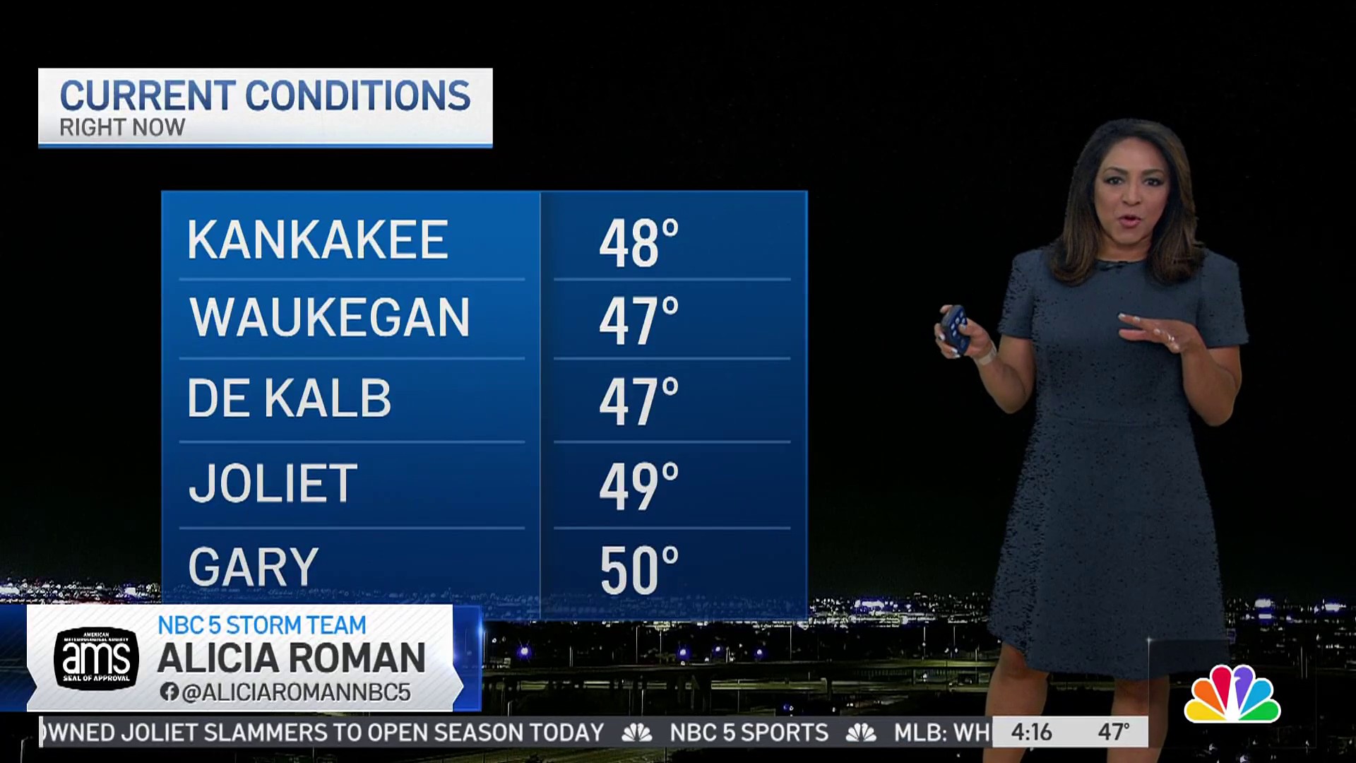
For Cook, DeKalb, Grundy, Kankakee, Kendall, Lake and LaSalle counties the orads were mostly covered and for DuPage, Kane and Will, partly-covered conditions were reported.
No major accidents, but several minor ones were reported across the area by 5:30 a.m.
Weather

11:09 p.m.: Icy Conditions, Cool Temperatures Expected Into Morning Hours
After a day that saw plenty of snow and some sleet in the Chicago area, things will continue to be treacherous for motorists in the overnight hours.
According to current forecast models, icy conditions are expected throughout the overnight, with temperatures near or below the freezing mark for most of the night and the early morning.
Secondary roads are expected to remain icy, and morning commutes could be challenging on area roadways.
9:52 p.m.: Snow totals continue to pile up in suburban communities
Areas west of Chicago were especially hard hit by Tuesday's snowfall, according to the National Weather Service.
In Ogle County, Hitt reported a total of 6 inches of snow during the storm. In Winnebago County, Roscoe reported 5 inches of snow, while Carol Stream reported 4.5 inches of snow during the storm.
Officials say 3.2 inches of snow fell at Midway International Airport in Chicago, while total snowfall is still being tabulated at O'Hare.
9:28 p.m.: Icy conditions keep roadways closed in several suburban communities
Several area roadways, including Randall Road in St. Charles and 123rd Street in Palos Park, remain closed because of icy conditions.
The 9th Street bridge in Lockport, which was closed for several hours, has reopened after vehicles that had spun out were removed from the roadway.
Meanwhile, traffic is beginning to clear on northbound Interstate 55 near Channahon after several semi trucks became stuck, unable to make their way up a steep hill because of icy conditions.
8:28 p.m.: Nearly 200 flights canceled at O'Hare
According to the latest figures from the Chicago Department of Aviation, 189 flights have been canceled at O'Hare, and another 72 have been canceled at Midway due to the wintry conditions Tuesday.
At Midway, at least 3.2 inches of snow have fallen so far, and another 1.3 inches of snow were recorded at O'Hare, although that total has yet to be updated from the last burst of snow to move through the region.
7:14 p.m.: Area roadways closed due to icy conditions
Multiple area roadways have ben closed due to icy and snowy conditions as snow plow crews struggle to keep up with rapid snowfall and freezing conditions.
On Interstate 55 near suburban Channahon, extensive traffic delays are being reported on the northbound side of the roadway, as multiple semi-trucks have been unable to make it up a steep hill in the area. Icy conditions are to blame in the area, with state police saying that the roadway is largely iced over.
In suburban Lockport, the 9th Street bridge over the Des Plaines River is closed due to multiple accidents caused by icy and snowy conditions on the roadway. The street is closed in both directions between Route 53 (Independence Boulevard) and State Street (Route 171) because of the conditions.
6:40 p.m.: More snowfall totals reported in Chicago area
The National Weather Service offices in Romeoville have measured 3.2 inches of snow so far Tuesday, according to the agency.
Chicago's airports have both seen over an inch of snow, with 1.8 inches falling at Midway and 1.3 inches falling at O'Hare.
Boulder Hill in Will County and Carbon Hill in Grundy County are still the locations with the highest totals reported so far, with 3.8 inches of snow falling in both communities.
5:20 p.m.: Flight cancellations continue to add up at Chicago airports
As of 5:20 p.m., 140 flights have now been canceled at O’Hare International Airport, while 71 have been canceled at Midway, according to the Chicago Department of Aviation.
5:15 p.m.: Snowfall totals begin emerging from across the area
We are beginning to get our first reports of snowfall totals from across the area as a winter storm barrels its way through the region.
Here are the latest totals we have so far:
Grundy County –
Carbon Hill: 3.8 inches
Morris: 3.5 inches
Kankakee County –
Bonfield: 2.4 inches
Will County –
Manhattan: 2.3 inches
Romeoville – 0.7 inches
We will continue to update these figures as they become available.
5:14 p.m.: Additional plows, salt spreaders activated as city steps up response to storm
With a winter storm moving its way into the Chicago area, the Department of Streets and Sanitation has now activated a “Phase III” response, meaning that even more snow vehicles will make their way onto city streets in the coming hours.
According to a press release from DSS, a total of 287 snow vehicles will be out on the streets, with salt spreaders and snow plows focusing on arterial routes and Lake Shore Drive to help keep those routes passable for motorists and buses.
After those streets are cleared, vehicles will move to residential streets as needed.
4:20 p.m.: Flights canceled at O'Hare, Midway
Nearly 200 flights have been canceled at Chicago’s airports on Tuesday as a winter storm barrels its way into the region.
With a winter storm warning taking effect in parts of Cook County, the Chicago Department of Aviation says that 120 flights have been canceled at O’Hare International Airport so far on Tuesday, with 70 more flights canceled at Midway as a result of the storm.
Flights delays are still under 15 minutes at both airports, but that could change as the wintry system works its way through the city and suburbs.
3:35 p.m.: Track the system with interactive radar
3:30 p.m.: Chicago deploys over 200 snow plows to combat expected winter storm
Chicago officials announced 211 snow vehicles will be deployed Tuesday evening to respond to expected snow from a winter storm hitting the area overnight.
The Department of Streets and Sanitation said salt spreaders will be working to keep the city's arterial routes and Lake Shore Drive "safe and passable" for motorists and buses while snow continues to fall.
"Safety is the City's top priority. Though there are less motorist on the road because of the pandemic, those who must travel are urged to take precaution when traveling during inclement weather and drive according to conditions," Chicago officials said.
3 p.m.: Winter storm warnings and advisories begin
A winter storm warning issued for McHenry and DeKalb counties took effect at 3 p.m. Tuesday and continues through 9 a.m. Wednesday. That alert was later updated to add northern Cook, Lake and Kane counties in Illinois.
It warns of snow accumulations between 4 and 7 inches and ice accumulations of up to one to two tenths of an inch.
A winter storm watch was also upgraded to a warning for other parts of northern Illinois, just outside of the Chicago area, including Boone, Ogle and Winnebago counties.
Elsewhere in the Chicago area, a winter weather advisory began at 3 p.m. Tuesday.
The advisory is set to continue until 9 a.m. Wednesday in McHenry, DuPage, LaSalle, Kendall, Cook and northern Will counties in Illinois. For Grundy, Kankakee, southern and eastern Will counties in Illinois and Lake and Porter counties in Indiana, the advisory is in effect through 6 a.m.
For counties under that winter weather advisory, snow accumulations between 1 and 5 inches are possible, with the highest totals expected along and north of Interstate 88. Ice accumulations of up to two tenths of an inch are possible away from the Lake Michigan shoreline and inland.
In LaPorte County in Indiana, a winter weather advisory begins at 6 p.m. CST Tuesday and continues through 6 a.m. Wednesday. It warns of up to 2 inches of snow and ice accumulations of around one tenth of an inch.
2 p.m.: Snow expected to develop across Chicago area before transitioning to freezing rain and rain
Snow will gradually taper overnight, but as temperatures increase during the early morning hours, the snow will transition to a period of freezing rain. Light icing accumulations are possible, with less than a tenth of an inch expected for most.
Temperatures will continue to increase to the upper 30s by Wednesday morning as the mixed precipitation transitions to rain.
Rain will be widespread by daybreak, but even though it will be falling as liquid travel concerns will still be there. Any snow or lingering ice will cause slushy and slick road conditions.
Temperatures will fall again Wednesday afternoon as rain gradually comes to an end, but there could be a light mix of snow and freezing rain before the system completely moves out by the late afternoon hours.
Another wintry mix of snow and freezing rain is possible New Year's Day.
