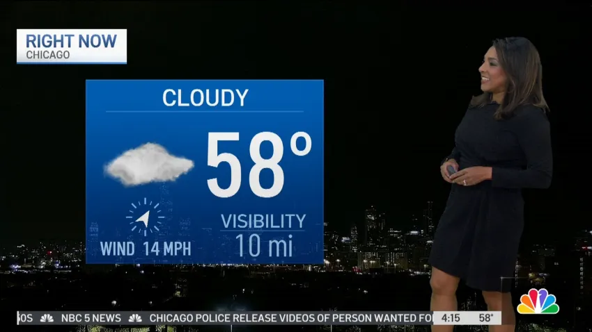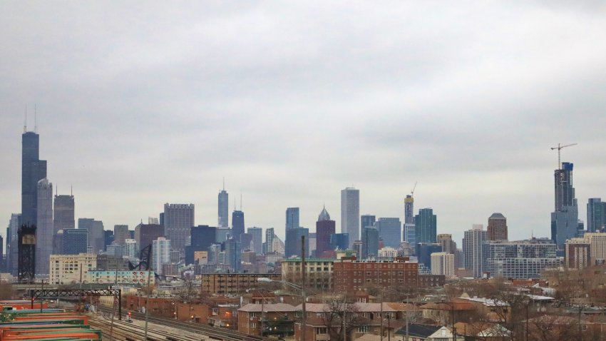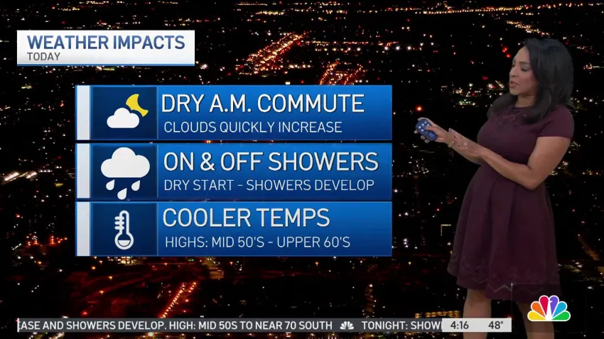
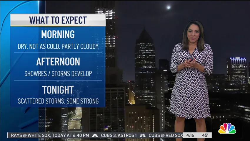
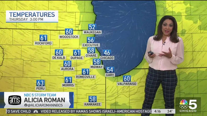
Friday morning weather
Alicia Roman has the latest forecast.
-
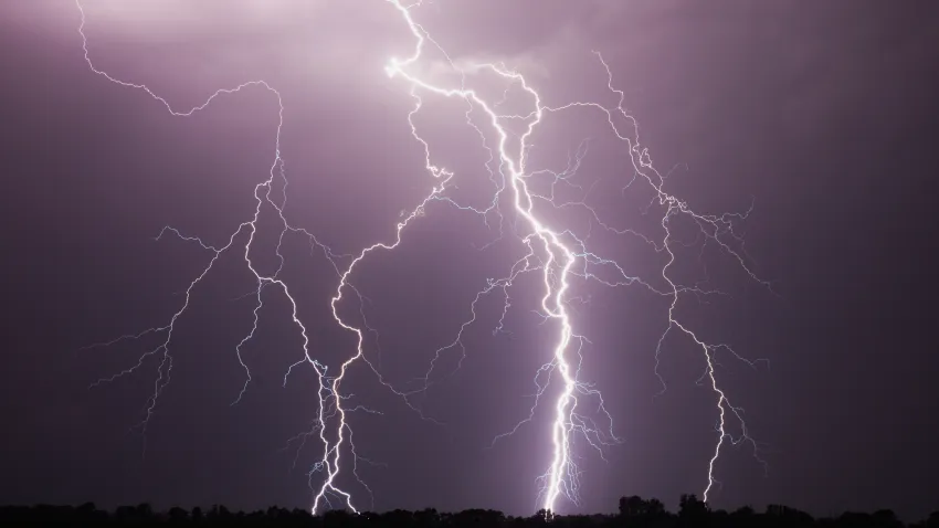
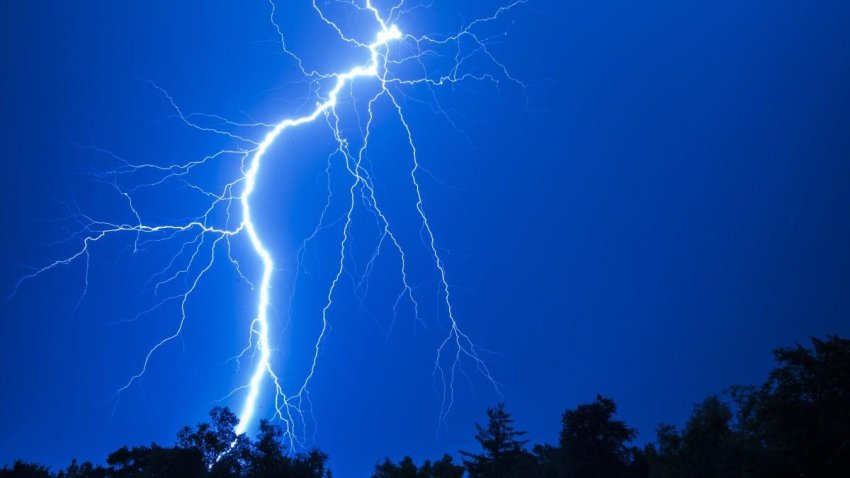
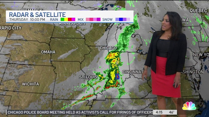
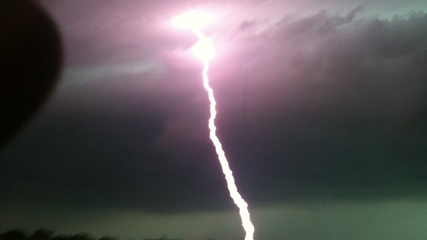
Brief downpours, small hail among possible threats as storms move toward Chicago area
Brief downpours, high wind gusts, small hail and lightning strikes are among the threats and showers and storms move their way into the Chicago area Tuesday afternoon, according to the National Weathe... -
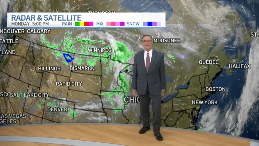
Storm timing: What to expect and when as storms with hail, damaging winds head to Chicago area
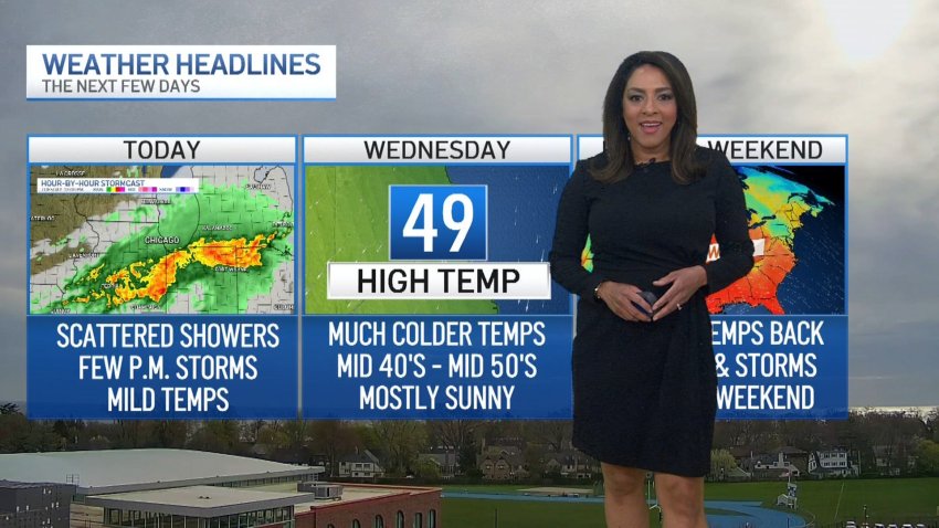
Scattered showers and periods of rain were expected across the Chicago area Tuesday, with some heavy downpours and gusty storms possible at times.
-
Chicago Forecast: Storms on the way
With rain and storms on the way, Alicia Roman has the latest forecast for the Chicago area.
-

Severe weather threatens Chicago area with heavy downpours, hail, gusty storms
Scattered showers and periods of rain were expected across the Chicago area Tuesday, with some heavy downpours and gusty storms possible at times.