Editor's Note: The National Weather Service confirmed that "multiple" tornadoes touched down across Northeast Illinois Wednesday. Our latest story can be found here. Our original story continues below.
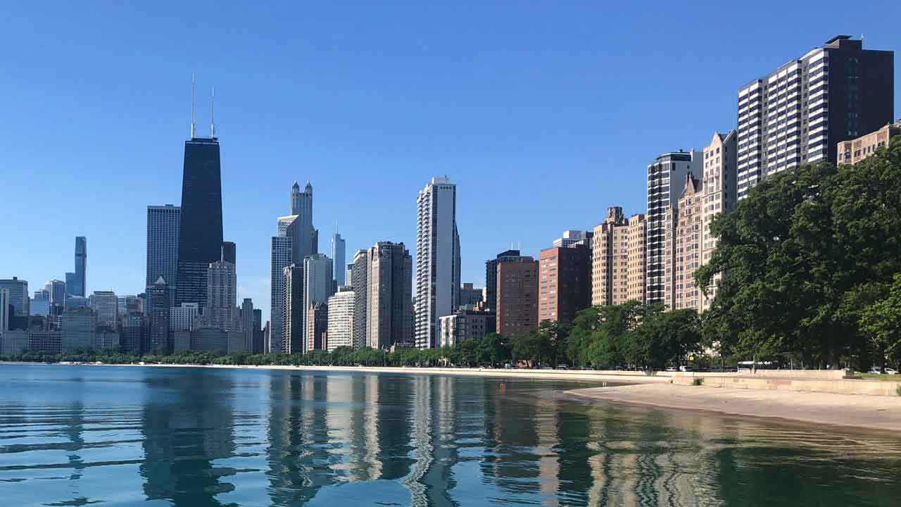
Severe storms roared to life on Wednesday across the Chicago area, spawning numerous tornadoes and causing significant damage across the region.
Hundreds of flights were canceled and ground stops were ordered at both Midway and at O'Hare, where a tornado actually damaged warehouses near one of the runways.
Thousands of ComEd customers were also left without power after the storms.
Feeling out of the loop? We'll catch you up on the Chicago news you need to know. Sign up for the weekly Chicago Catch-Up newsletter here.
Here is a blow-by-blow recap of the night, and you can catch up with all of our latest updates througout the evening HERE.
All watches, warnings now over
The final tornado watch of the evening in Will and Kankakee counties in Illinois, as well as Lake, Porter, Newton and Jasper counties in Indiana, has been canceled, leaving the area free and clear of severe weather warnings and watches.
The lone exception is a flood warning along Thorn Creek in Cook County, which is in effect until 7 a.m. Thursday.
Thousands of customers without power in Chicago area
According to ComEd, more than 10,000 customers are without power after Wednesday's storms, with most of those outages occurring in Cook County.
Here are the latest estimates as of 7:50 p.m.:
Cook County – 7,004 customers
Kane County – 1,529 customers
McHenry County – 1,299 customers
DuPage County – 343 customers
WATCH: Tornado forms live on NBC 5's telecast
Here are the active watches, warnings in the Chicago area
As of 7:30 p.m., one tornado warning remains active in the Chicago area, in northeastern Cook County until 7:45 p.m.
A tornado watch remains in effect for DuPage, Cook, Will and Kankakee counties in Illinois, as well as Lake, Porter, Newton and Jasper counties in Indiana, until 10 p.m.
Tornado on ground near O'Hare Airport, National Weather Service says
A tornado has touched down near Chicago's O'Hare International Airport on Wednesday night, according to the National Weather Service.
The tornado has had a history of touching down and lifting back up, but those inside and near the airport are advised to seek shelter immediately.
Other cells near the airport are also exhibiting rotation at this time, per officials.
Tornado warning issued for parts of Cook County
A tornado warning has been issued for northeastern Cook County until 7:45 p.m., according to the National Weather Service.
The storm is part of a line extending from Des Plaines to Villa Park, moving east at 35 miles per hour.
The storms have an extensive history of producing tornadoes, and radar-indicated rotation is still being observed.
Franklin Park, Schiller Park, Hillside and Rosemont are all in the path of the storm, as are Bellwood and Harwood Heights.
Tornado warning issued for DuPage, Cook counties
A tornado warning has been issued for northeastern DuPage County and northwestern Cook County until 7:15 p.m.
Storms were located on a line from Schaumburg to Glendale Heights, moving east at 30 miles per hour.
Storms will approach Elk Grove Village, Villa Park, Elmhurst and Bensenville, among others.
Tornado warnings remain in effect
Here is an updated list of warnings as of 6:45 p.m.:
A tornado warning remains in effect for northwest Cook County and northwest DuPage County until 7 p.m.
Another warning remains in effect for southwestern Lake County until 7 p.m.
The tornado warning in McHenry County was allowed to expire at 6:45 p.m.
A storm that prompted a tornado warning in east-central Cook County has been canceled, as the storm weakened below severe limits and exited the area.
Another warning in northeastern Kane County expired at 6:45 p.m.
Tornado warning issued in DuPage, Cook counties
Another tornado warning has been issued for northwestern DuPage and northwestern Cook County in Illinois until 7 p.m.
The system is capable of producing tornadoes, with one cell near South Elgin and another near Valley View. Both are moving to the east at 35 miles per hour.
Hoffman Estates, Bartlett, Streamwood and Carol Stream are all in the path of this storm.
Tornado warning issued for parts of Lake County in Illinois
A tornado warning has been issued for southwestern Lake County until 7 p.m.
A storm capable of producing tornadoes was located near Lake Barrington, moving east at 30 miles per hour.
The storm will approach Lake Zurich, Hawthorn Woods, Arlington Heights and Buffalo Grove shortly.
'Large and extremely dangerous tornado' on the ground in Cook County
A "large and extremely dangerous tornado" is on the ground in Cook County in Chicago's southwest suburbs, headed towards the city of Chicago.
The National Weather Service has deemed the storm to present a "particularly dangerous situation", with destruction possible in its path.
Ground stops issued at O'Hare, Midway airports
Severe weather has led to full ground stops at both O'Hare and Midway Airports, the Chicago Department of Aviation says.
More than 400 flights have been canceled Wednesday at the two airports.
Confirmed tornado spotted in Hodgkins
At 6:16 p.m., a tornado was confirmed in suburban Hodgkins in southern Cook County, moving to the east at 30 miles per hour.
Flying debris is possible with this storm, and residents in Summit, Bridgeview, and Burbank should take shelter immediately.
This storm is headed toward the city of Chicago, and presents a life-threatening situation. Those in the path of the storm should seek shelter immediately.
Tornado warning issued for parts of Kane County
Another tornado warning has been issued for central Kane County until 6:45 p.m.
The storm, located near Campton Hills, is capable of producing a tornado, and is moving to the east at 30 miles per hour.
The storm will be near St. Charles and Valley View in the coming minutes, as well as South Elgin.
Tornado warning issued for McHenry County
Another tornado warning has been issued for parts of McHenry County until 6:45 p.m., according to the National Weather Service.
This storm, located over Huntley, is moving to the east at 35 miles per hour, with Doppler radar picking up rotation within the cell.
Crystal Lake, Algonquin and Lake in the Hills are all in the path of the storm.
Tornado Warning issued in parts of Cook County
A new tornado warning has been issued for central Cook County until 6:30 p.m., according to the National Weather Service.
The warned cell is exhibiting signs of rotation, according to Doppler radar, and is currently over Burr Ridge, moving to the east at 30 miles per hour.
LaGrange, Summit, Bridgeview and Oak Lawn are all in the path of this storm.
Tornado Warning expires in DuPage County; funnel cloud spotted in Kendall County
A tornado warning has been allowed to expire in DuPage County, but the cell did produce a brief funnel cloud, according to the National Weather Service.
That funnel cloud was spotted near Boulder Hill in Kendall County, according to officials. It is not clear if there was a touch down, and officials will continue to investigate.
Tornado Warning Issued for part of DuPage County
A tornado warning originally issued for parts of four Illinois counties on Wednesday has been pared down to southwestern DuPage County, according to the National Weather Service.
The storm is now located near Naperville, moving to the east at 30 miles per hour.
The storm is moving east at 25 miles per hour. It will be near Plainfield and Bolingbrook in the next 20-to-25 minutes.
Seek shelter immediately if you are in any of those areas.
"Overflow action alert" issued for Chicago area ahead of possible Wednesday storms
The Metropolitan Water Reclamation District of Greater Chicago is once again asking residents to conserve water ahead of potential severe weather on Wednesday night.
As part of an "overflow action alert," residents are being asked to delay washing dishes or clothes, and to delay taking showers or bats to minimize the amount of water being put into sewer systems in the area.
Tornado watch issued for entire Chicago area
The National Weather Service has issued a tornado watch for the entire Chicago area until 10 p.m.
The watch includes McHenry, Lake, DeKalb, Kane, DuPage, Cook, LaSalle, Kendall, Grundy, Will and Kankakee counties in Illinois, as well as Lake, Porter, Newton and Jasper counties in northwest Indiana.
The highest probability of those tornadoes still exists north of Interstate 80, according to officials, but isolated tornadoes could still occur south of that line.
Parts of Chicago area now at "enhanced" risk of severe weather
The Storm Prediction Center has upgraded parts of the Chicago area to an "enhanced" risk of severe weather on Wednseday, warning of the chance of damaging hail and winds, as well as heavy rains and the possibility of tornadoes.
Areas in Illinois north of Interstate 80 were bumped up to "enhanced," the third of five levels of severe weather threats on the SPC's scale, early Wednesday afternoon.
Most storms will arrive in the western parts of the area around 4 p.m., and could approach the city of Chicago by 6-to-7 p.m., according to officials.
‘Increasing risk’ of damaging severe weather threats
The National Weather Service has been cautioning residents throughout the day of the chance for strong-to-severe thunderstorms, but the risk of those storms is continuing to increase.
Officials say that those storms are beginning to fire in the northwestern portion of the state, and are moving to the east-southeast at approximately 30 miles per hour.
NWS officials say there is an “increasing risk” for tornadoes, hail and heavy downpours, with the highest likelihood between Interstate 80 and the state line of Wisconsin and Illinois.
Residents are urged to have multiple ways to get weather warnings, which will be pushed through the NBC Chicago and Telemundo Chicago mobile apps.
Flood warning issued for parts of Chicago area
An earlier flood watch has been upgraded to a flood warning in northwestern Will County, southeastern DuPage County and central Cook County, and that will remain in effect until 4:30 p.m.
Heavy rains, occasionally of more than an inch per hour, could potentially fall in the area during that time.
Residents are urged to use caution when walking or driving near flood waters, and not to drive through water whose depth is unclear.
More than 300 flights canceled at O’Hare due to weather
According to the latest updates from the Chicago Department of Aviation, 362 flights have been canceled at O’Hare because of weather concerns, with 35 additional cancellations at Midway.
Flight delays of nearly 30 minutes have also been reported.
Initial reports emerge on rainfall in area
Nearly two inches of rain has fallen in portions of the area already, even as additional storms continue to fire to the west and northwest.
In Will County, Lemont has seen 1.36 inches of rain, and Plainfield has reported 1.27 inches of rain.
The highest rainfall total reported was in DuPage County, where Burr Ridge reported 1.69 inches of rain as of 2:30 p.m.