
1 p.m. Friday Update: As the Chicago weather forecast shifts, the National Weather Service has changed when the winter storm alerts will go into effect, as well as which counties are included. Our latest story can be found here. Our original story continues below.
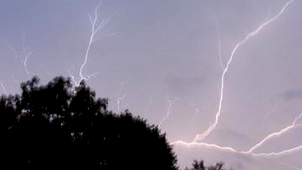
A wild weather week for the Chicago area that began with tornadoes and saw temperatures nearing 60 degrees midweek is expected to come to a head Friday afternoon, as a winter weather system the NBC 5 Storm Team describes as "tricky" and "complex" is set to arrive, bringing with it the chance for heavy rain to some areas, and heavy snow accumulation to others.
Earlier in the week, forecast models showed more snow in the forecast. But by Friday morning, that prediction had shifted for some parts. According to the latest forecast models, rain transitioning to snow was more likely for much of the Chicago area, with heavy snow predicted in areas east of I-57, the NBC 5 Storm Team says.
Timeline: When, Where Snow, Rain is Expected to Hit As Storm Moves Into Chicago Area
Much of the storm's impact will depend on two factors, the NBC 5 Storm Team says: temperature, and location of exactly where a band of heavy snow will set up.
However, one threat that remains more steady: strong winds. Recent models show wind gusts of up to 45 miles per hour are expected throughout the Chicago area, which could result in downed trees and power outages.
MORE: ComEd Preparing For ‘Potential Power Outages' As Winter Storm Threatens Chicago Area
Local
As the storm creeps in and forecast models continue to evolve, here's what the NBC 5 Storm Team is reporting right now.
Winter Storm Warning For Some, Winter Weather Advisory For Others
Feeling out of the loop? We'll catch you up on the Chicago news you need to know. Sign up for the weekly Chicago Catch-Up newsletter here.
According to the National Weather Service, a winter storm warning for Kankakee and eastern Will Counties in Illinois, as well as Lake, Porter, Newton and Jasper counties in Indiana will go into effect at 12 p.m. Friday.
In those counties, "heavy, wet snow, intense snow rates, strong northeast winds and low visibility" is expected, an alert from the NWS says.
However, "due to the nature of the expected narrow snow band," the alert continues, some areas could see between four to eight inches of snow, while others could see snowfall of less than four inches.
In DuPage, Kendall, Grundy, Cook and northern and southern Will Counties, a winter weather advisory will go into effect, also at 12 p.m. There, a wintry mix of rain and wet, slushy snow is more likely.
According to the NWS, both the warning and the advisory will expire at 10 p.m. Friday
Timing of the Storm
Although rain may begin to move across southern counties in the morning, much of the winter weather is not expected to hit until the late afternoon commute, between 2 and 6 p.m., the NWS says, when quick snowfall is expected to occur in some parts.
"Difficult to potentially crippling commute this afternoon and evening where snow falls the heaviest," the NWS said in a tweet. "Slowed and slippery travel expected everywhere else."
According to forecast models, hazardous travel is most likely to occur across Northwest Indiana, east of I-57.
While timing remains the same for the counties in the winter weather advisory, precipitation in those parts is more likely stay in the form of rain potentially transitioning to snow, the NBC 5 Storm Team says. However, the rate of precipitation is could snarl roads.
"Plan on hazardous road conditions including the Friday afternoon and evening commute," the NWS says. "If snow falls hard enough, some slushy accumulations are possible on untreated roads."
Additionally strong winds are likely to last much of the day, with the strongest gusts between 11 a.m. and 5 p.m., forecast models show.
Snow or Rain?
According to the NBC 5 Storm Team, heaviest snow is most likely to fall east of I-57, where a winter storm warning will go into effect at 12 p.m. In those parts and in Northwest Indiana, quick, heavy snowfall is most likely to occur, with four to seven inches of snow predicted.
In central Illinois, where at 12 p.m. counties including Cook will be under a winter weather advisory, "slushy snow accumulations up to an inch" is expected, the NWS says, although totals of between two and four inches are possible. In those areas, temperatures are expected to remain in the mid to high 30s.
"The snow will be wet and slushy with temperatures near or just above freezing," the NWS says. "if snow falls hard enough, some slushy accumulations are possible on untreated roads."
Additionally, heavy rainfall prior to snow could result in localized flooding, forecast models show.
By evening, snow and other forms of precipitation will slowly diminish, the NBC 5 Storm Team says.
This story has been updated as forecast models continue to evolve.
