
EDITOR'S NOTE: Stay tuned to our live blog for all the latest weather information.
As heavy rain, thunder and golf ball-sized hail hammers the Chicago area Tuesday, flight delays and cancellations are piling up at O'Hare and Midway International Airports, snarling the spring break and Holy Week plans of many hopeful travelers.
According to Fly Chicago, total flights canceled into or out of O'Hare Airport as of 2 p.m. stood at 61, with an average delay of 30 minutes. Midway is seeing delays of around 15 minutes, with six cancellations reported.
"Due to thunderstorms, traffic is experiencing Gate Hold and Taxi delays between 16 minutes and 30 minutes in length and increasing," an update posted to the Federal Aviation Administration says, regarding operations at O'Hare airport.
Although both airports are reporting delays of less than an hour, some passengers hoping to fly out remain seated on unmoving planes as thunderstorms and strong winds barrel down.
"Plane is shaking due to the wind, you can hear it," one passenger headed from O'Hare to Seattle told NBC 5, while sitting on the runway during a delay.
According to the city of Chicago, O'Hare expects a passenger increase of 6.7% over the course of the week. The busiest day at the airport projected to be Thursday, city officials say.
Local
ComEd Prepares for Severe Weather
For those staying home, ComEd says that it is positioning equipment and mobilizing additional crews in case more severe weather arrives Tuesday night and into Wednesday morning.
Feeling out of the loop? We'll catch you up on the Chicago news you need to know. Sign up for the weekly Chicago Catch-Up newsletter here.
According to the utility company, they are preparing for a forecast that includes heavy rain and gusty winds, along with frequent lightning and large hail, all of which could impact the area’s power grid.
“After a significant effort to restore our communities to normal, we are geared up for this next round of storms,” VP of Distribution Operations Dave Perez said in a statement, referring to Friday's storms, which knocked out power to more than 90,000.
“Back-to-back storms like these are becoming more frequent due to the impacts of climate change, and we appreciate our customers’ patience as we work to restore power.”
Severe Thunderstorm Watches, Warnings in the Area
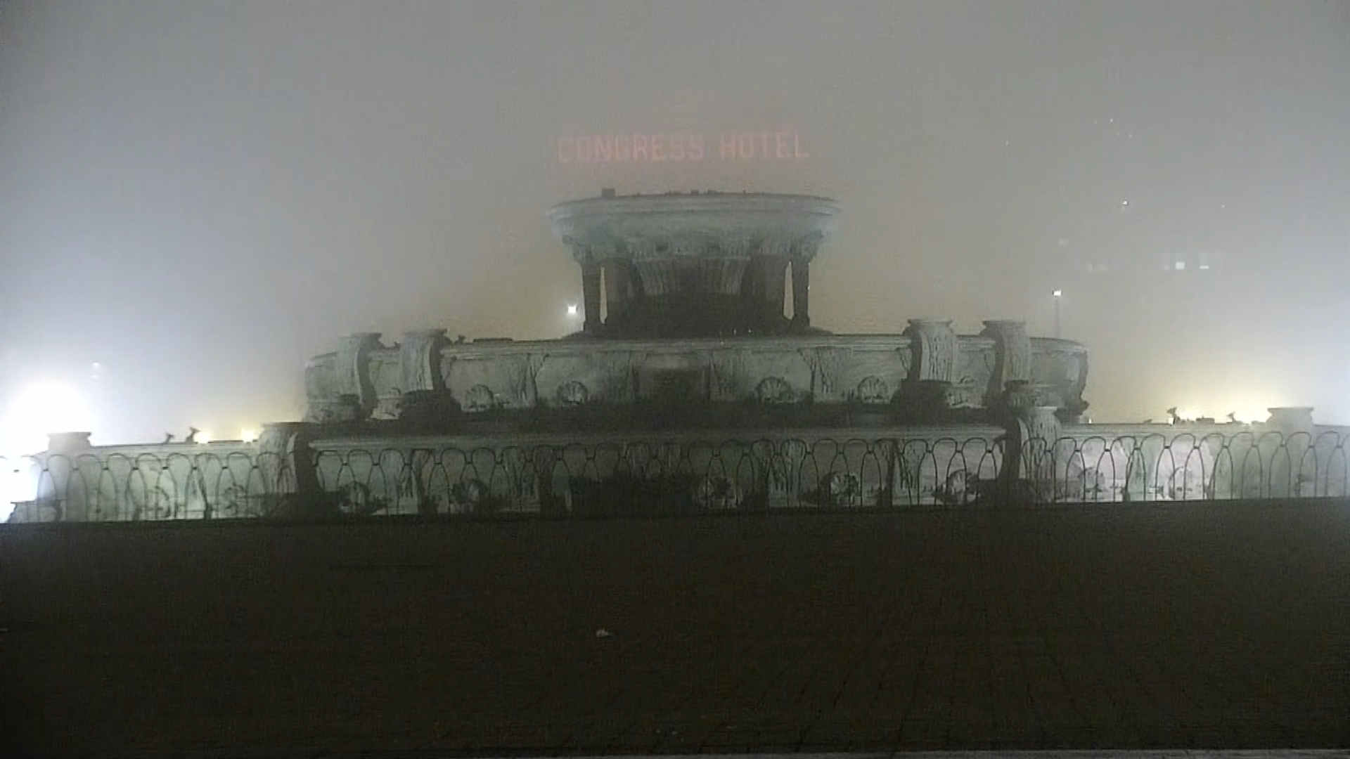
Much of the Chicago area is under a severe thunderstorm watch Tuesday as the first of multiple waves of storms could soon move in.
The watch, which is in effect until 3 p.m., includes Cook, DeKalb, DuPage, Grundy, Kane, Kankakee, Kendall, LaSalle and Will counties in Illinois as well as Lake County in Indiana. Lake and McHenry counties in Illinois were later added to that alert.
A severe thunderstorm warning was also issued for LaSalle County initially as a dangerous storm system had started moving in, prompting forecasters to urge residents to "take cover." Warnings were issued for western Kendall, northern LaSalle and southern DeKalb counties until 1 p.m. and for northern DeKalb, northwestern Kane and southwestern McHenry counties until 1:30 p.m.
Another warning for northern Kendall, central DeKalb and Kane County was in effect until 1:15 p.m.; for Lake, northeastern Kane, McHenry and northern Cook counties until 2:30 p.m.; and northeastern Kendall, northwestern Will, southeastern Kane, DuPage and Cook counties until 2:45 p.m. (Track storms with live radar below)
STAY UPDATED: See the latest severe weather alerts for your area here
The alerts warn of "destructive hail" up to the size of a baseball and damaging wind gusts in excess of 70 mph with the storms.
"If you receive a warning, take cover away from windows," the NWS tweeted. "These are dangerous storms!"
According the National Weather Service, severe storms are possible during the late morning and afternoon hours, particularly north of Interstate 88.
Track the storms as they move through the area live with our interactive radar:
A second round of severe weather could potentially set up for late Tuesday afternoon and into the evening, though "there remains considerable uncertainty" surrounding whether or not this round will in fact develop. If they do, "all modes of severe weather would be possible," particularly in northern and western portions of the area.
Severe Weather Threat Follows Friday's Tornados
The threat comes after severe weather tore through the Chicago area Friday, bringing wind gusts in excess of 80 miles per hour and at least a dozen tornadoes to the region.
Just like Friday’s storms, the main threats with a potential outbreak Tuesday would be damaging hail and wind gusts, along with a chance of isolated tornadoes.
But unlike Friday, the threat for severe weather hinges on a "cap" of warm air.
According to the NWS, if the "cap" of warm air is strong enough, it could prevent any storms from developing at all. If it weakens enough to allow thunderstorms, "they will quickly become severe."
Those storms could then be capable of producing "destructive hail" and possibly more tornadoes, with the potential for "extensive damage."
Storms will again be possible Wednesday morning, some of which could become severe as a cold front pushes into the region.
The threat for strong to potentially severe conditions will likely be between 6 a.m. and noon, according to the NBC 5 Storm Team.
As the storms move through, temperatures will quickly fall. Highs by Thursday will sit in the 40s.
As always, stay tuned to the NBC 5 Storm Team’s latest forecasts on all platforms, including our station’s 24/7 Streaming News channel and on the NBC Chicago app, available on both Apple and Android devices.
