
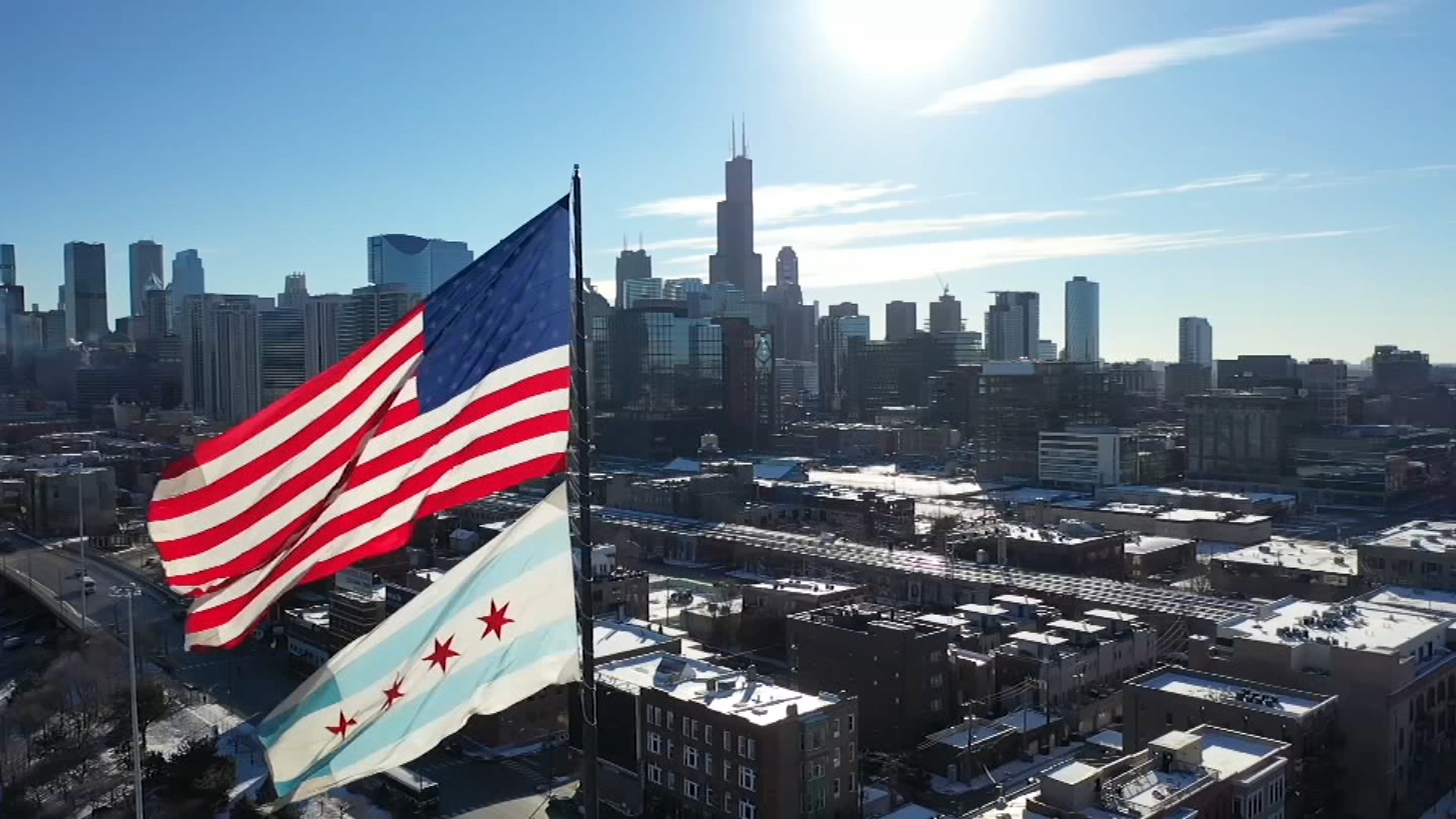
Illinois and Indiana road conditions Friday morning were dangerous at times as blowing snow and low temperatures across the area led to crashes, accidents and major traffic issues.
"Travel this morning is definitely treacherous for trucks and cars," Indiana State Police Sgt. Glen Fifield told NBC Chicago Friday morning, as heavy, lake effect snow continued to pummel northwest Indiana, leading to white-out conditions in some parts.
MORE: How to check Illinois road conditions amid messy, snow-covered commute
"A lot of jackknifed semis," Fifield said, referring to several accidents on major trucking corridors I-65 and 80/94 towards Michigan. "If I could stay at home, I definitely would be. I wouldn't be on these roads."
NBC 5's Jen DeSalvo reported the road conditions in Hobart, Indiana were "completely" snow and ice covered.
"It's not stopping at all," DeSalvo said, adding that the temperature clocked in at 13 degrees, with a wind chill of -2.
Local

"Salt isn't going to do any justice on the roads this morning," DeSalvo said.
Road salt, or sodium chloride works well when the temperatures are warmer, and when the sun is shining, NBC 5 Meteorologist Alicia Roman said.
Feeling out of the loop? We'll catch you up on the Chicago news you need to know. Sign up for the weekly Chicago Catch-Up newsletter here.
"If it is dark outside and the temps drop, the salt becomes ineffective," Roman added. "Once you see the temperatures fall below 15 degrees, road salt becomes nearly ineffective."
Northeast Illinois were seeing those effects Friday morning. While the snowfall was coming to an end, roadways were still covered, NBC 5 reporter Sandra Torres said, especially on side streets.
"It's now windy and blowing and drifting, and that's causing some issues," Torres said from the Fulton Market overpass. "It's a very messy commute."
According to the Illinois State Police, multiple vehicles spun out on area roads and highways due to weather.
MORE: Are Illinois, Indiana schools open? Full school closures list as winter storm warning continues
"It's very slippery," one driver who spun out on the Kennedy Expressway near Montrose said.
NBC 5's Kye Martin reported multiple traffic crashes had popped up across the area, including on Stevenson between the Des Plaines River Bridge and I-294, in West Chicago, in Highland Park on Southbound 41, and on I-55 in Will County.
"The closer you get to downtown, the roads are looking better," Martin said, though drive times were heavy across the area, especially on the Kennedy Expressway coming in from O'Hare International Airport.
Chicago's Department of Streets and Sanitation said that while more than 300 plows had been deployed, the snow Friday morning snarled even their plans.
"It just kept coming down," DSS Commissioner Cole Stallard said. "We had things looking good, and then at 5 a.m. we got another blast."
According to Stallard, DuSable Lake Shore Drive was clear from snow, but not water.
"DuSable Lake Shore Drive right now is what we call running water," Stallard said. "Just because you don't see snow, it's still slick."
Stallard added that once daybreak hits, more roads, especially local streets, will become easier to clear.
While the snow is expected to move out of northeast Illinois Friday around noon, a snow plume is expected to hover over Michigan and Indiana all day, "bobbling" back and forth from mainly Porter and LaPorte Counties, Roman said.
The snow in northwest Indiana is expected to finally come to an end Saturday evening, Roman said. In northeast Illinois Saturday, conditions are expected to be dry and sunny.
How much snow?
In northeast Illinois, the system that moved in overnight and into Friday morning was expected to bring between 1 and 4 inches of snow, the National Weather Service said.
Those totals are expected to be much higher in Porter and LaPorte Counties in Indiana, where a winter storm warning was in effect through late Friday.
By Saturday, as much as 4.5 inches of snow is expected to have fallen in Valparaiso, with even higher totals elsewhere.
LaPorte, Indiana, could see 10.2 inches by Saturday, and Michigan City could see close to 12 inches.
"A foot of snow is possible, definitely in portions of Porter and LaPorte County," Roman said.
By 9 a.m., more than a foot of snow had already fallen in some parts, with 18 inches recorded in LaPorte.
According to the NWS, the snowfall in northern and northeastern Porter County late Friday into Saturday could be "crippling."
"Near crippling snowfall rates and whiteout conditions at times," the NWS warned, adding that snowfall rates of two to three inches per hour, and wind gusts up to 40 miles per hour were expected. "Travel is expected to become extremely dangerous, if not impossible in spots."
Chicago wind chill advisories followed by 40 degree temps
Cold air was expected to move back in ahead of a warm-up next week, Roman said.
According to the NWS, a wind chill advisory for LaSalle, Kendall, Grundy McHenry, DeKalb, LaSalle, and Kane Counties will go into effect at midnight, lasting through 9 a.m. Saturday. In those areas, wind chills as low as -25 could occur.
"Another blast of arctic air," Roman said, " But then back into the 40s by next week. The weather has been wacky."
Temperatures are expected to warm into the 20s, 30s and 40s by next week, Roman said, with a wintry mix of snow and rain possible Monday.
