
The Chicago area could potentially double its seasonal snowfall to start the week, but accumulation will depend largely on one system's track and where it lands.
With Winter Storm Watches already in place Monday into Tuesday, Chicago could be at the epicenter of snowfall expecting anywhere from 5-to-9 inches accumulating in the area over a 24-hour period.
Here's a breakdown of what could happen and when:
Sunday Morning and Afternoon
The Chicago area likely woke up to a light dusting from overnight snow Saturday and into Sunday morning, with under an inch to 1 inch of snow recorded in most areas.
By Sunday afternoon, pockets of light snow or freezing drizzle will be possible, which could leave roadways across the area slick.
Monday Afternoon and Evening into Tuesday
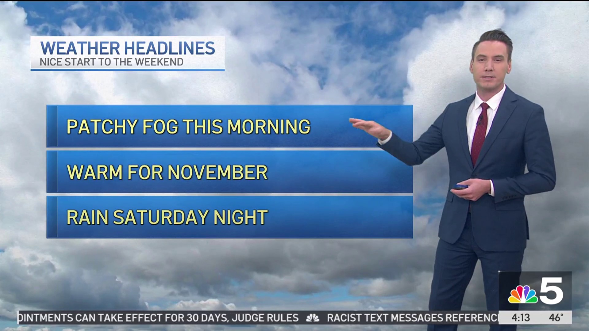
Weather

By Monday morning, light snow is possible, but the main weather event will likely begin in the afternoon hours.
According to the NBC 5 Storm Team, heavy snow will sweep across the area throughout the afternoon and evening hours Monday, then will continue to fall overnight and into the day Tuesday.
In areas such as Kankakee county and northwest Indiana, forecasts show less snowfall and more freezing rain or sleet in the evening. Overnight into Tuesday, the mix of rain and sleet should leave the area with snow coverage remaining.
A Winter Storm Watch will be in place across some areas of the Chicago area Monday leading into Tuesday afternoon and evening, according to NBC 5 meteorologists.
Tuesday morning into the afternoon, the Chicago area will likely continue to see heavy snow with additional lake-enhanced snow showers.
How Much Snow is Expected?
According to the latest forecast models, Chicago could be right at the epicenter of the snowfall, with anywhere from 5-to-9 inches falling in the area over a 24-hour period.
Current forecasts indicate that wind off of Lake Michigan could add some lake enhancement to the weather system, potentially causing even heavier snowfall in the city and lakeside suburbs.
If that forecast holds, it could potentially double the region’s snowfall so far this winter. As of Saturday, O’Hare International Airport has received 8.6 inches of snow so far this winter, just under half of the 17.5 inches of snow that it has usually received by this point.
With Sunday’s snowfall, as well as the snow coming later in the week, the region could vault up to an average amount of snow by the time the system moves out.
Check back for more as this forecast develops.