
Editor's Note: Our Thursday afternoon weather story along with the latest alerts can be found here. Our original story continues below.
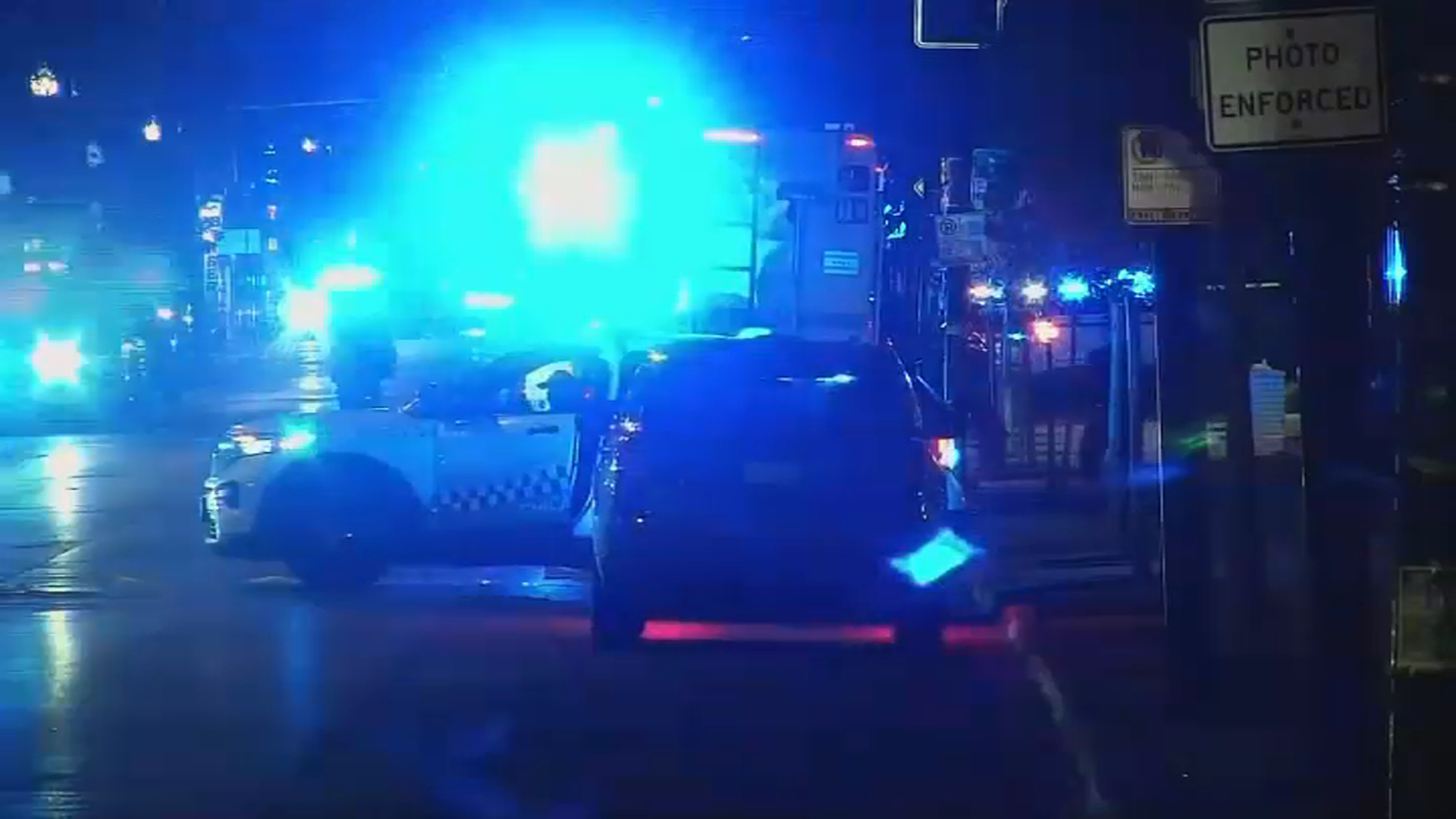
A severe thunderstorm watch has been issued for nearly the entire Chicago area and parts of northwest Indiana Thursday as "multiple waves" of storms are expected to move through the region.
Heavy downpours, lightning and loud claps of thunder pounded parts of the Chicago area overnight and into the early morning hours, but more storms and potentially severe conditions were expected through the afternoon and evening.
Counties included in the watch, which remains in effect through 5 p.m., were DeKalb, LaSalle, Cook, DuPage, Grundy, Kane, Kankakee, Kendall and Will counties in Illinois. Jasper, Lake, Newton and Porter counties in northwest Indiana were also under the watch.
Feeling out of the loop? We'll catch you up on the Chicago news you need to know. Sign up for the weekly Chicago Catch-Up newsletter here.
Forecast models show at least three rounds of strong to severe thunderstorms are expected to move through the area Thursday.
According NBC 5 Meteorologist Alicia Roman the first round of storms took place during the early morning hours. Around 5:04 a.m., live radar showed an eastward-moving storm cell hovering around suburban Mt. Prospect and Northfield, with penny-sized hail, heavy downpours, gusty winds and flashes of lightning all possible.
Local

Farther south, Livingston county reported severe thunderstorms, with strong winds and half-dollar-sized hail. According to the National Weather Service, nearby Kankakee, Grundy and LaSalle counties were briefly under a severe thunderstorm watch
The second window of storms is expected to occur between 12 p.m. and 5 p.m., along and south of Interstate 80 near LaSalle county. According to the National Weather Service, this round has the potential to be "the most damaging," as a line of storms "races in from the Plains."
"Areas south of I-80 are favored, but areas to the north are NOT out of the woods," the National Weather Service said in a tweet. In those parts, which includes portions of Kankakee, Grundy and LaSalle counties as well as Livingston, destructive winds up to 70 miles per hour are possible.
Additionally, the threat of a tornado cannot be ruled out, the NBC 5 Storm Team says.
A third round of storms is expected to occur during parts of the Thursday evening commute, between 5 and 9 p.m., forecast models show. According to the NWS, the third round poses the "greatest threat" in the far northern counties, near the Illinois-Wisconsin state line, stretching as far east as Waukegan, to as far west as near Mount Carroll.
That round of storms has the potential to bring strong and damaging hail and winds, and the potential for a tornado, the NWS says.
According to the NBC 5 Storm Team, the risk of Thursday's storms becoming severe depends on location. In much of the Chicago area, the risk remains "slight" on the Storm Prediction Center's six-level scale. Farther south, the risk is greater, in the "enhanced" category.
Temperatures highs Thursday are expected to be in the upper 70s to mid 80s, with building humidity. Additionally, an Air Quality Alert for northwest Indiana and northeast Illinois remains in effect until midnight, due to the smoke and haze from Canadian Wildfires.
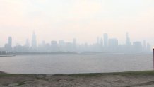
As of 5:45 a.m., the Environmental Protection Agency's air quality tracking website AirNow.gov showed air quality in much of the Chicago area wavering between "unhealthy" and "very unhealthy," with a PM2.5 reading of 205.
Poor air quality issues have plagued multiple states throughout the week, with thousands of flights across the country canceled as a result. As of 6:35 a.m. Thursday, O'Hare International Airport saw nearly 80 flights canceled as a result of air quality issues and storms.
Overnight Friday, storms and showers are expected to continue.
This story will be updated.
