
UPDATE: Another round of storms is possible in the Chicago area this afternoon, but much uncertainty remains. Here's what we know.
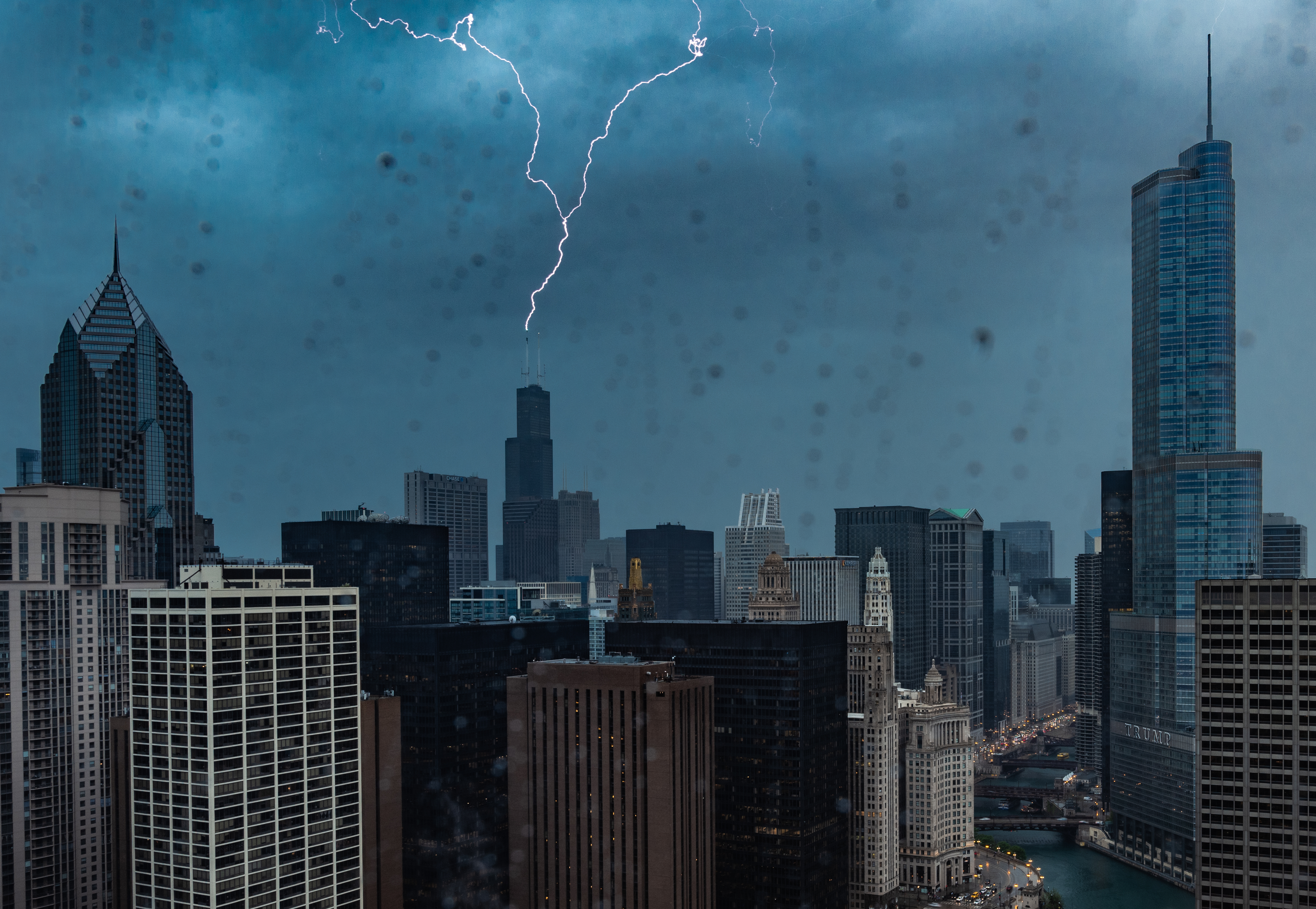
Severe weather alerts were issued for much of the Chicago area Friday just as Memorial Day weekend was about to begin.
Early Friday morning, all of northern Illinois was placed under a severe thunderstorm watch until 1 p.m., according to the Storm Prediction Center.
A severe thunderstorm warning was issued for LaPorte County in Indiana, until 3:45 p.m.
Several other warnings in the Chicago area, including ones in parts of Kendall, Grundy, Will, Cook and more, expired earlier Friday afternoon.
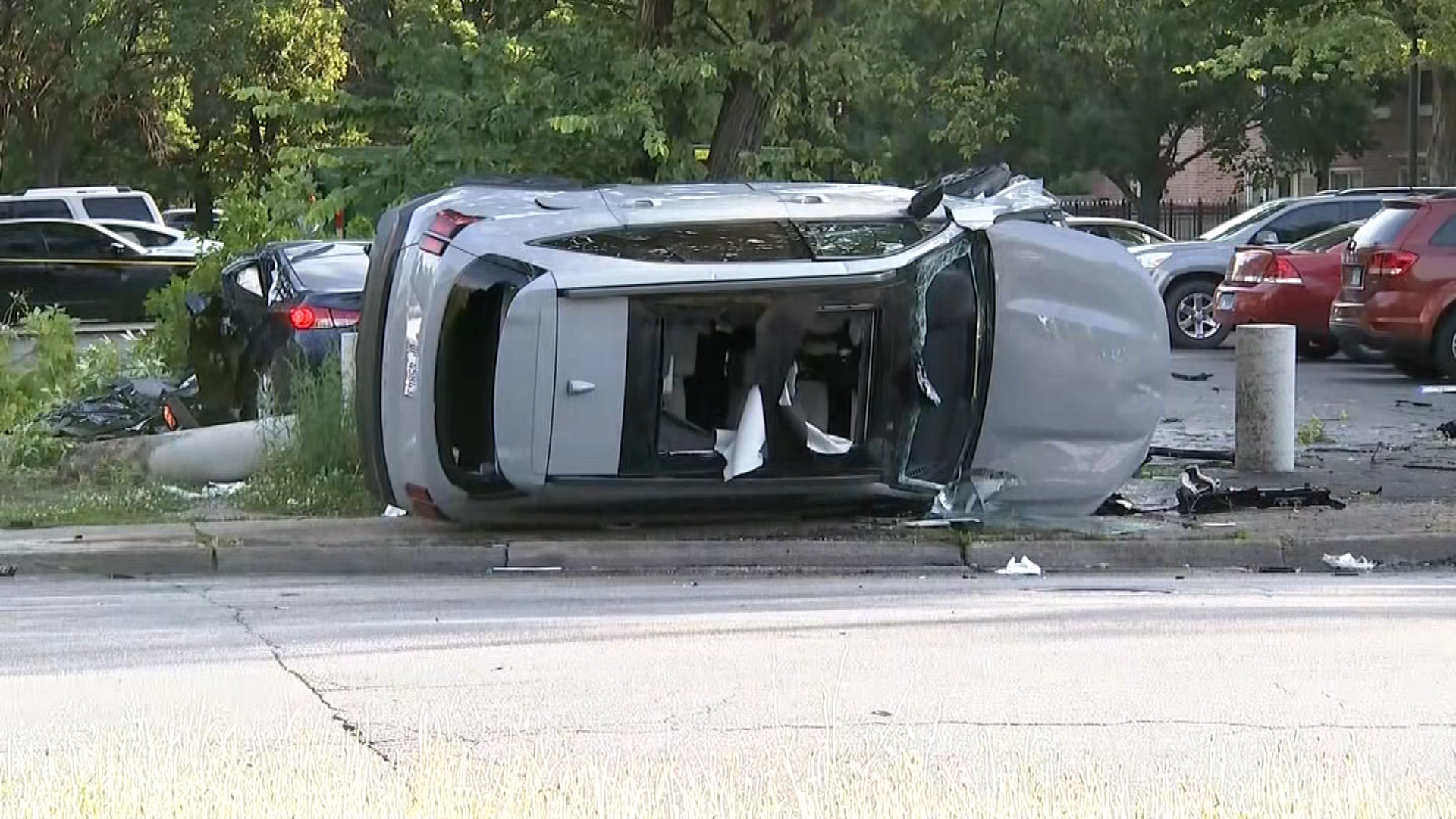
The National Weather Service warned that a line of severe storms would move into northern Illinois, carrying with it the threat for damaging winds, large hail, and possibly tornadoes. The biggest threat was expected to take place through 9 a.m. in areas along and west of Interstate 39, however.
Local
"Have multiple ways to get warnings," NWS tweeted.
Feeling out of the loop? We'll catch you up on the Chicago news you need to know. Sign up for the weekly Chicago Catch-Up newsletter here.
NBC 5 Storm Team Meteorologist Alicia Roman said the morning thunderstorm watch was tied to a line of storms moving across central Iowa, sparking thunderstorm warnings and even tornado warnings as it went.
"It's looking more and more like this line will hold together," Roman said just after 6:30 a.m. "In fact, the Storm Prediction Center is getting out ahead of this line -- it's not even in our area at all, not even in Illinois, and they're already saying, 'OK, there's a severe thunderstorm watch that we're going to put in place from now until 1 p.m. this afternoon for all of northern and even northeast Illinois."
The watch comes after the Chicago area was placed a “slight” risk of severe weather Friday, with the arrival time of the system threatening to disrupt travel via airports and roadways.
According to the Storm Prediction Center, that “slight” risk, a level two out of five, covers the entire Chicago area and northwest Indiana, with all manner of severe weather threats possible on Friday. Portions of far western DeKalb and LaSalle counties, however, were later upgraded to an enhanced risk for severe weather.
Roman said storms will likely threaten gusty and damaging winds, but there remains potential for hail and possibly even tornadoes.
"It's low, but it's not zero heading into the afternoon," Roman said.
Despite Friday morning's watch, the National Weather Service said an even higher chance for severe weather was expected Friday afternoon and evening.
But just before 8 a.m., they noted that the morning system could "modulate" any potential storms forecast for the afternoon and evening, adding that it "greatly increases uncertainty."
The NBC 5 Storm Team’s forecast modeling originally showed a cold front rapidly approaching the Chicago area on Friday afternoon, right around the time that many residents will be traveling for the long holiday weekend.
Thunderstorms could impact area airports, as ground stops could either hold planes at their points of departure or prevent flights from leaving O’Hare and Midway in the mid-to-late afternoon.
Another round of showers and storms could arrive in the evening, though they’ll likely be more scattered in nature, according to forecast models.
Once the front passes through, temperatures are expected to cool, with highs in the upper-70s on Saturday under partly-to-mostly sunny skies. Sunday will see another chance of scattered showers and thunderstorms, with that system sticking around through Monday morning.
Highs are expected to settle into the low-70s on both days, with pleasant conditions expected once the quick-hitting system moves through.
You can follow all the latest developments, live radar and more on the NBC Chicago app, and with the NBC 5 Storm Team on television and our 24/7 streaming service.
