
You’re watching the NBC 5 Chicago News streaming channel, which plays local Chicago news 24 hours a day, seven days a week. You can find the “NBC 5 Chicago News” streaming channel on your phone or computer, and on Peacock, Samsung, Roku, Xumo or on our app, so you can watch our local news on your schedule.
Hot and humid conditions could pave the way for scattered showers and thunderstorms Tuesday evening, with one such storm sparking a warning in northeastern Illinois.
According to the National Weather Service, a severe thunderstorm warning has been issued for northwestern Will County, southern DuPage County and central Cook County until 7:45 p.m.
According to officials, the storm, located over Crest Hill, was moving to the north at 35 miles per hour, packing wind gusts in excess of 70 miles per hour. Locations like Romeoville, Lemont, Bolingbrook and Woodridge are all in the path of the storm, according to forecast models.
Another severe thunderstorm warning was issued for south-central Cook County until 8 p.m. A storm, located over Orland Park, was moving north at 30 miles per hour.
That storm is packing wind gusts of 60 miles per hour, and could impact Chicago, Tinley Park, Burbank, and Bridgeview, among others.
Tuesday afternoon, dew points soared into the low-70s in different parts of the Chicago area, with the muggy conditions making things feel even warmer as highs rise into the mid-80s across the region.
Those conditions coincide with the slow arrival of a cold front that was pushing across Iowa and Missouri on Tuesday afternoon, potentially causing an outbreak of showers and thunderstorms in the Chicago area late Tuesday and even into Wednesday morning.
Local
Several rounds of showers and storms could hit the area, and the Storm Prediction Center has areas west of Interstate 57 at a “marginal” risk of severe weather.
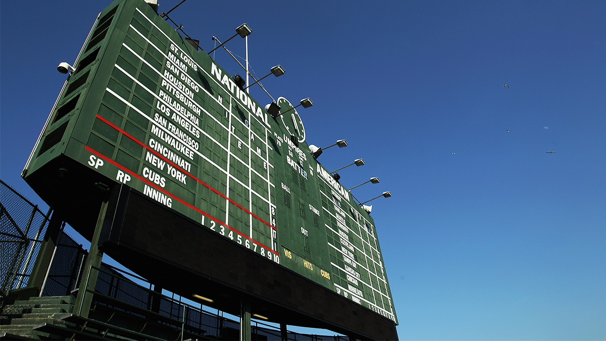
The scattered nature of the showers and storms make it harder to predict when they’ll arrive, though the 7:05 p.m. game between the Cubs and White Sox could be impacted at some point, according to forecast models.
Feeling out of the loop? We'll catch you up on the Chicago news you need to know. Sign up for the weekly Chicago Catch-Up newsletter.
The two teams are also scheduled to play Wednesday, but the Cubs will hit the road on Thursday and the White Sox will open a series against the Boston Red Sox, throwing into question when any type of make-up game could occur if needed.
At any rate, areas that do see the development of showers and storms could see heavy downpours and gusty winds, along with lightning and occasional hail, according to forecast models.
After several rounds of showers and storms, the front is expected to finally push through on Wednesday morning, bringing with it one final chance of thunderstorms.
After it departs, cooler temperatures are expected for the remainder of the week, with highs in the low-70s, according to forecast models.
Stay tuned to the NBC 5 Storm Team for all the latest weather news and information.