
A winter storm watch has been issued for multiple northwest Indiana counties as heavy lake-effect snow could cause massive issues on the Friday morning and evening commutes.
According to the National Weather Service, a watch will go into effect in Porter County at midnight Friday, while a separate watch will go into effect for LaPorte County and several other areas of the state beginning at 9 p.m. Central on Thursday.
According to officials, parts of Porter County could see eight or more inches of snow as winds shift off of Lake Michigan, with the highest accumulations concentrated near the lake.
Snowfall rates in excess of two inches per hour are possible in some areas, along with wind gusts in excess of 30 miles per hour that could cause significant blowing and drifting snow.
Feeling out of the loop? We'll catch you up on the Chicago news you need to know. Sign up for the weekly Chicago Catch-Up newsletter here.
Both the Friday morning and evening commutes could be impacted by the weather system, officials said.


In LaPorte County, six or more inches of snow are possible across the region, but northern parts of the county could end up seeing one foot or more of accumulation depending on the severity of the snow bands as they develop across the area.
Snowfall rates of 1-to-2 inches per hour are possible, along with gusty winds, and both commutes Friday could be impacted by the system.
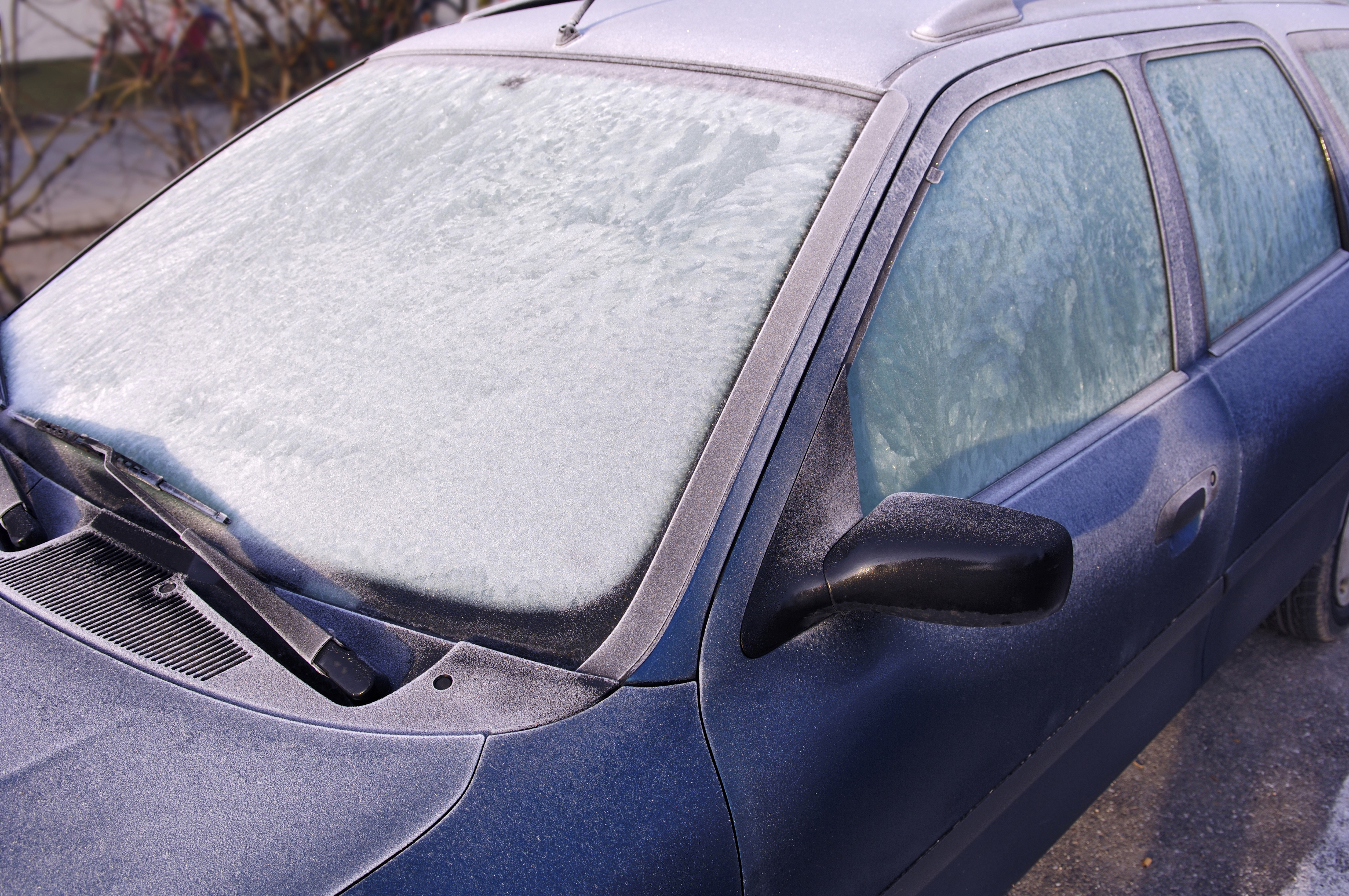
The National Weather Service cautions that travel could be “difficult-to-impossible” in the affected areas, urging residents to use extreme caution if they try to drive.
Stay tuned to the NBC 5 Storm Team for all the latest weather news and information.
