
Update: The NWS on Thursday confirmed that 11 tornadoes touched down. Our original story continues below.
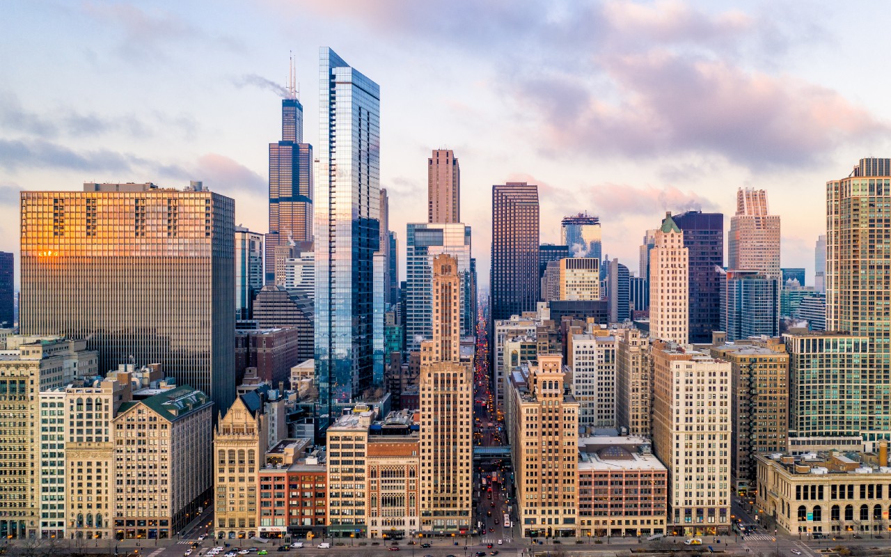
The National Weather Service confirmed early Thursday morning that "multiple tornadoes tracked across Northeastern Illinois" Wednesday, causing extensive damage to homes, yards, businesses and more across Chicago suburbs including Elgin, Campton Hills, Rosemont, Huntley, Carol Stream, Hodgkins and more.
"Between 5 p.m. and 7 p.m. on Wednesday, July 12, multiple tornadoes tracked across Northeast Illinois, some in very close proximity to one another," a tweet from the NWS said. "These were spawned by rotating thunderstorms known as supercells."
Feeling out of the loop? We'll catch you up on the Chicago news you need to know. Sign up for the weekly Chicago Catch-Up newsletter here.
According to the NWS, the total number of tornado touchdowns from Wednesday has yet to be finalized, adding that a final number count should be completed as the week goes on.
"We currently do not have an estimate of the total number of tornadoes," the NWS said. "We will determine the official count along with intensity ratings following damage surveys over the coming days."
During the storm, the NWS and the NBC 5 Storm Team confirmed some tornado touchdowns, including a "large and extremely dangerous" tornado in southern Cook County moving towards Chicago. Approximately 30 minutes later, the NWS reported a touchdown near O'Hare International Airport, where more than 300 flights were canceled.
Local

MORE: Video shows tornado forming above O'Hare Airport during live NBC Chicago coverage
Although an exact estimate as to the number and exact locations of the twisters has yet to be confirmed, damage from Wednesday's severe weather remains clear.
In McCook, Total Traffic reports morning road closures due to storm damage.
Elsewhere, suburban residents recapped what it was like after severe weather ripped through the shopping centers where they were running errands.
"It was just everything was blowing everywhere," a witness told NBC Chicago, of the damage outside of a Menard's in Hodgkins. "And it was coming from that direction but then all of a sudden it was going all over it was blowing all over it was like no way to go to protect yourself from it."
In McHenry county, a roof was blown off a home in Huntley, an alert from the NWS said. In Elgin, at least 20 to 30 homes have significant damage, according to the Elgin Fire Department. In Carol Stream, the NWS reports uprooted trees, damage to commercial buildings, car windows blown out and more.
Why did "multiple" tornadoes hit at once?
According to the NBC 5 Storm Team, the specific weather phenomenon that caused 'multiple' tornadoes to touch down is known as an "outflow boundary," or a "gust front."
"Those boundaries are the leading edge of cool surface-level winds that result from the downdrafts of thunderstorms, like the ones that formed early in the afternoon on Wednesday in the Chicago area," NBC 5 Meteorologist Brant Miller said. "Those cool winds race towards the ground, and can spread out far beyond where they originated from."
When that happens, Miller said, "the air often bumps into warm and unstable air and then acts like a wedge, forcing that warm air upward."
Additionally, "new thunderstorms can often form in these areas, and if they run into the outflow boundary, the low-level wind shear can cause thunderstorms to exhibit rotation, and that’s when tornadoes can form," Miller said.
When and how does a tornado form?
A tornado forms when rising warm air and sinking cool air cause spinning air currents inside a cloud, the NBC 5 Storm Team says. That rotation then turns from horizontal to vertical orientation, then descends to the ground, and a tornado forms.
Thursday forecast
According to NBC 5 Meteorologist Alicia Roman, Thursday is expected to be a calmer day, as morning clouds and fog will give way to a partly sunny day in the afternoon. And while a slight chance for an isolated, afternoon storm remains in the forecast, most areas are expected to remain dry, Roman says.
Temperatures Thursday are expected to be in the mid 70s to low 80s, Roman adds.
Friday and into the weekend however, more chances for rain and storms are in the forecast, the NBC 5 Storm Team says. Additionally, humidity and warmer temperatures are expected to return on Friday.
