
According to the National Weather Service, a winter storm warning will go into effect at noon Thursday through Saturday morning for the entire Chicago area, stretching as far south as Kankakee, as far west as Naperville and as far north as Waukegan.
In some western suburbs, including Crystal Lake, McHenry, Woodstock, Ottawa and Elgin, the warning will go into effect even earlier, beginning at 9 a.m.
In Porter County in northwest Indiana, a blizzard warning beginning at 3 p.m. Thursday will go into effect.
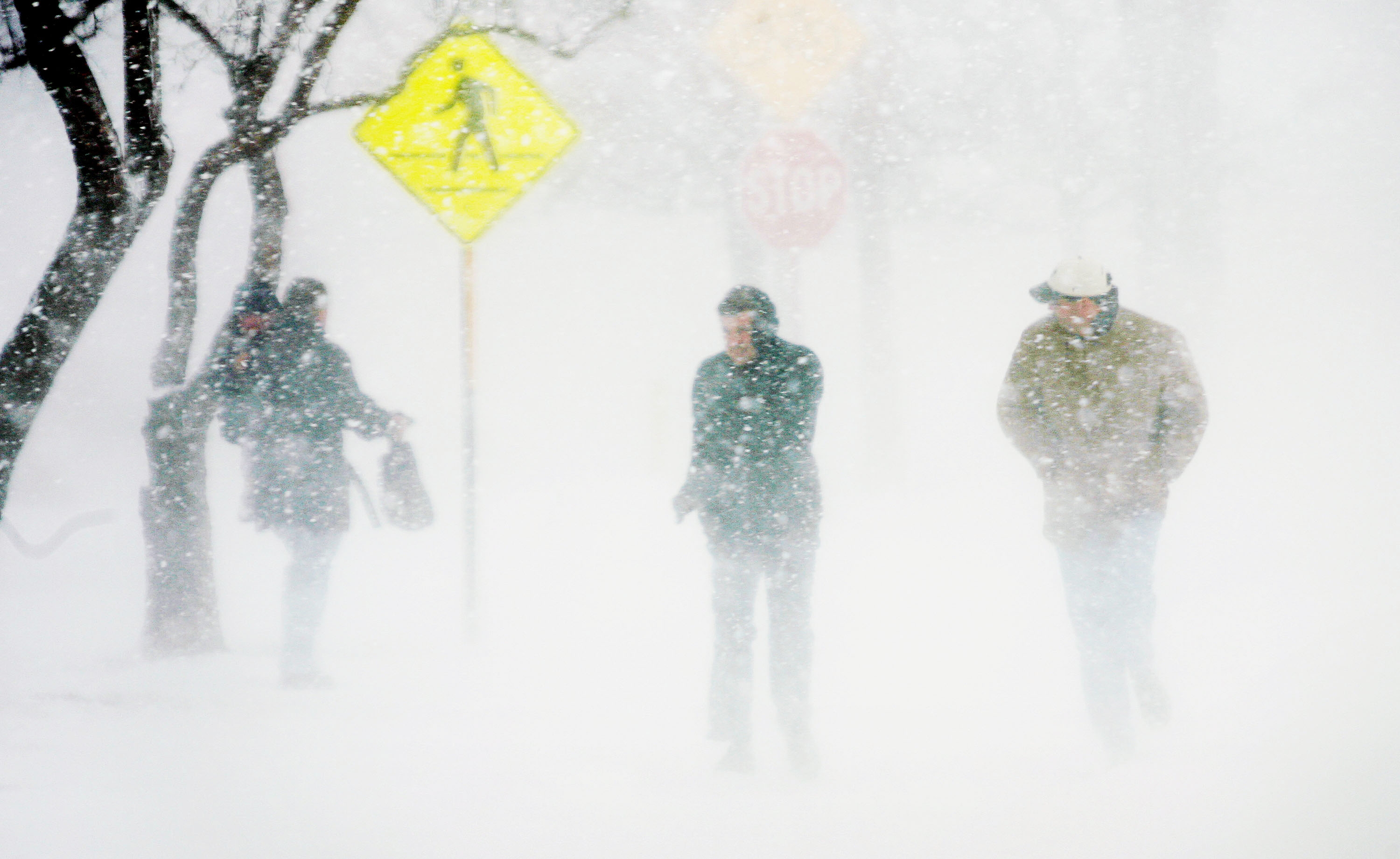

Latest forecast models show snow and blowing snow may result in "white- out conditions" that lead to zero visibility at times, making travel "extremely difficult." As dangerous temperatures plummet from 30 degrees to 16 degrees and wind chills as low as 25 to 35 degrees below-zero move in Thursday afternoon, roads are expected to become quickly iced-over.
Live Winter Storm Updates: Secretary of State Offices Join Growing List of Closures As Winter Storm Rolls In
Conditions for frostbite are expected, and power outages are also a possibility, thanks to wind gusts up to 50 miles-per-hour.
And although the latest snow total predictions remain between three and six inches, with most of it occurring Thursday afternoon and into the evening, the combination of "gusty winds, and plummeting temperatures will make travel conditions treacherous from Thursday afternoon onward," the NWS says.
Thursday Morning
Feeling out of the loop? We'll catch you up on the Chicago news you need to know. Sign up for the weekly Chicago Catch-Up newsletter here.
According to NBC 5 Storm Team, temperatures Thursday morning are expected to remain in the 20s and 30s. Some snow is expected to develop, with accumulation predictions up to two inches.
Strong winds of up to 25 miles-per-hour will also start to develop.
Thursday Afternoon
Latest forecast models show heavy, widespread snow across the Chicago is predicted to start around noon, with conditions "rapidly deteriorating" as the day continues, NBC 5 Storm Team meteorologist Paul Deanno says.
Around 3 p.m., snow is expected to be more widespread, and heavy at times, the NBC 5 Storm Team says. Between one and three additional inches of accumulation is expected.
According to predictions, temperatures will drop between 20 and 30 degrees in a matter of hours, with wind chills of 25 degrees below-zero moving in.
Winds are also expected to pick up, gusting up to 35 miles per hour.
Thursday Evening
Travel conditions are expected to worsen and temperatures are expected to continue falling. According to the NWS, "a flash freeze may cause ice covered roads, topped by the snow," NWS says, with periods of white-out, "blizzard conditions" likely Thursday later afternoon and lasting into Friday.
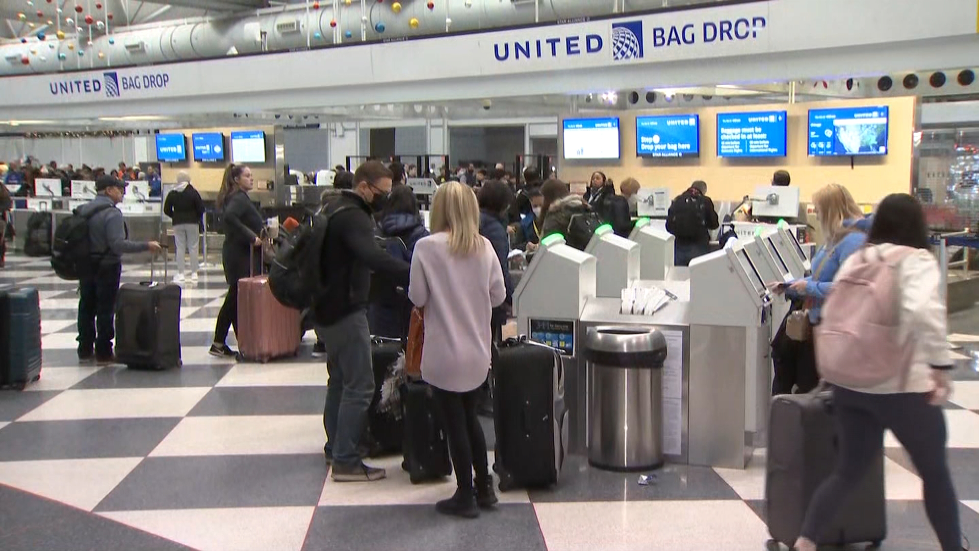
Periods of snow, blowing snow and strong winds will continue, creating treacherous travel conditions. The bottom line, the Illinois State Police warns, stay off the roads "for the next couple of days" unless travel is "absolutely necessary."
While timing of the storm's intensity has fluctuated over the last few days, as of Wednesday afternoon, NBC 5 Storm Team Meteorologist Paul Deanno said the worst of the storm is expected to hit between 8 p.m. Thursday and 12 p.m. Friday.
Friday
While Friday may see some isolated snow showers, the majority of snowfall will have dissipated overnight.
However, strong winds as high as 45 to 50 miles-per-hour, blowing the snow that has already fallen could create blizzard-like conditions.
"Even when the snow stops, winds will still be strong," Deanno said. "So snow will be blowing around all over the place, making it look like it’s still snowing."
Northwest Indiana however could see higher snow totals, as lake effect snow in Porter County is predicted to take hold.
And while snow in the Chicago area is set to taper off, powerful winds dangerously cold temperatures and wind chills remain.
According to NWS, strong winds may result in power outages, and travel conditions could become "life-threatening" for anyone who becomes stranded on the road. "Near-blizzard and blizzard conditions are possible Friday and Friday night," the NWS says.
Additionally, the bitter cold wind chills below 40 degrees could result in frostbite, which can form on exposed skin in as little as 20 minutes, experts say.
Christmas Eve and Christmas Day
At 6 a.m., the winter storm warning will come to an end. However, bone-chilling temperatures and ice covered roads are expected to remain. While wind chills will improve, they are expected to remain between 25 and 30 degrees below-zero. Strong winds are also expected to continue.
On Christmas Eve, skies are expected to remain cloudy, with temperatures in the upper single digits.
On Christmas Day, the cold will continue but the sun will peek through. High temperatures in the low teens are expected, with wind chills below-zero.
