You’re watching the NBC 5 Chicago News streaming channel, which plays local Chicago news 24 hours a day, seven days a week. You can find the “NBC 5 Chicago News” streaming channel on your phone or computer, and on Peacock, Samsung, Roku, Xumo or on our app, so you can watch our local news on your schedule.
Any outdoor activities or chores you've had in mind for this weekend might be best suited for Saturday, the last pleasant day before a stretch of showers.
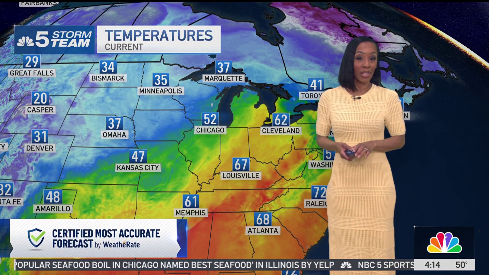
Plenty of sunshine - along with seasonable temperatures in the high 50s to low 60s - will emerge in the morning hours followed by slightly warmer temperatures and a few clouds in the afternoon, according to NBC 5 Storm Team Meteorologist Pete Sack.
It'll be the last chance to enjoy the outdoors for a few days -- with a fall system expected to bring several periods of rain starting on Sunday, according to the National Weather Service. Following a stray shower at around 7 a.m., bands of rain will approach starting in the late morning hours and continue through the nighttime on Sunday.
Temperatures will climb slightly as wave after wave of rain occurs in the first half of the work week, with highs slated to reach the low 70s by Monday.
One stretch of rain will arrive in the morning hours as the work week begins followed by another wave on Tuesday. Thunderstorms can't be ruled out with that second stretch, meteorologists said.
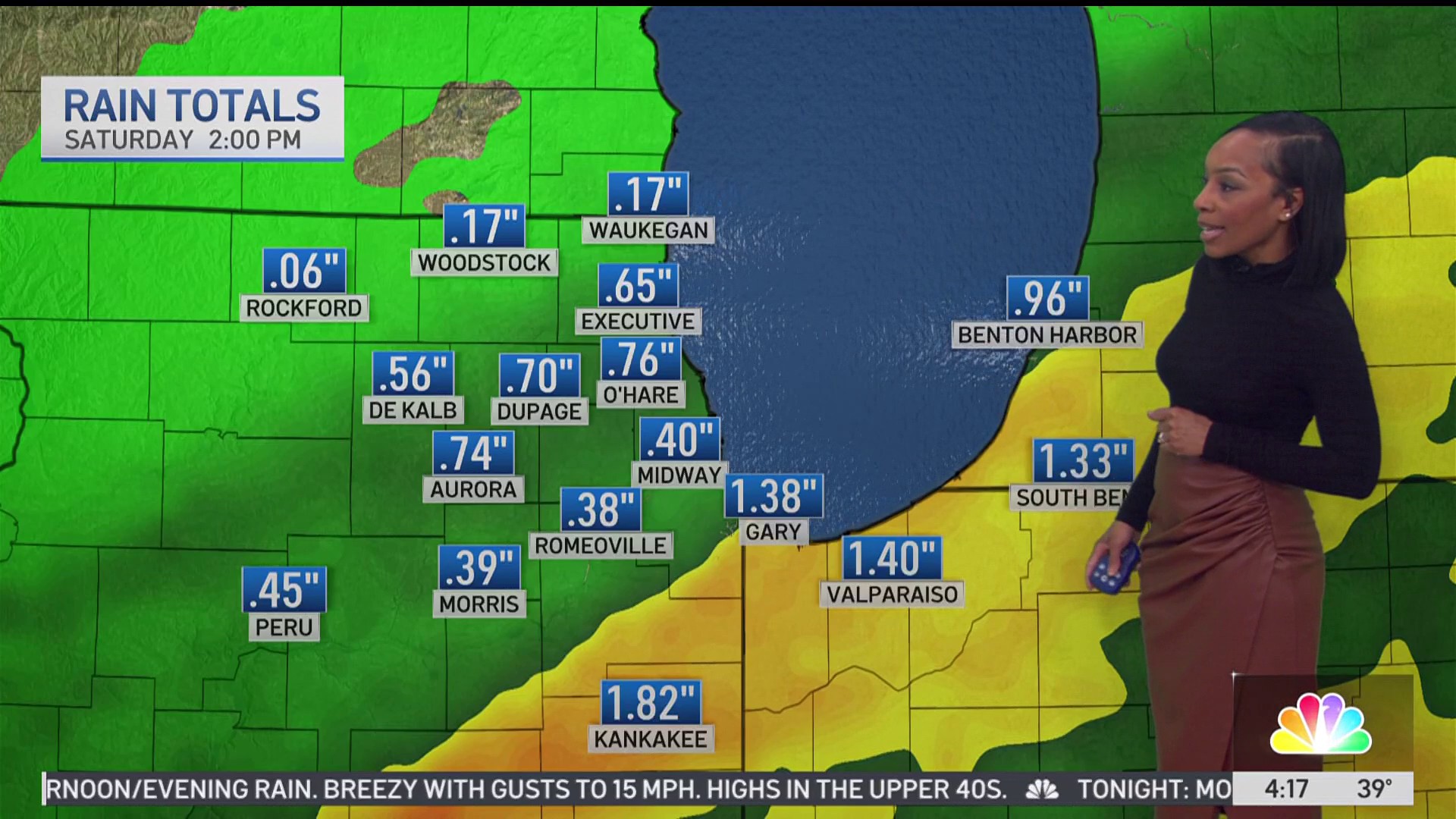
According to the NWS, soaking rainfall may lead to instances of urban flooding and rising rivers. What's unclear is where the heaviest rain will occur -- and how much precipitation will arrive.
Showers will likely come to an end Tuesday night before temperatures cool back into the 50s for the rest of the week. When all is said and done, the Chicago area could have more than an inch of rainfall. Global Model estimates call for 1.35 inches while the European model's estimates are substantially higher at 1.93 inches, according to Sack.
Dry conditions will persist for several days, though the Chicago area won't be entirely in the clear when it comes to rain. Another chance of showers will arrive the following Sunday, according to meteorologists.
Feeling out of the loop? We'll catch you up on the Chicago news you need to know. Sign up for the weekly Chicago Catch-Up newsletter.


