The threat of severe weather is slowly ending across the Chicago area. You can get the latest updates here.
A tornado watch had preceded those storms, which sparked warnings across the area with large hail and gusty winds recorded in many suburban communities.
Severe thunderstorm warnings are currently in effect in eastern McHenry County, all of Lake County, northeastern DuPage County, northern Cook County, Grundy County and southwestern Will County, as well as a warning in northwestern Kankakee County.
Wind gusts in excess of 60 miles per hour are expected with those storms, along with quarter-size hail.
Just hours before the tornado watch was issued the National Weather Service's Storm Prediction Center upgraded much of the Chicago area to a "slight" risk of severe storms, the second of five levels. Other parts of the region were under the lower, "marginal" risk.
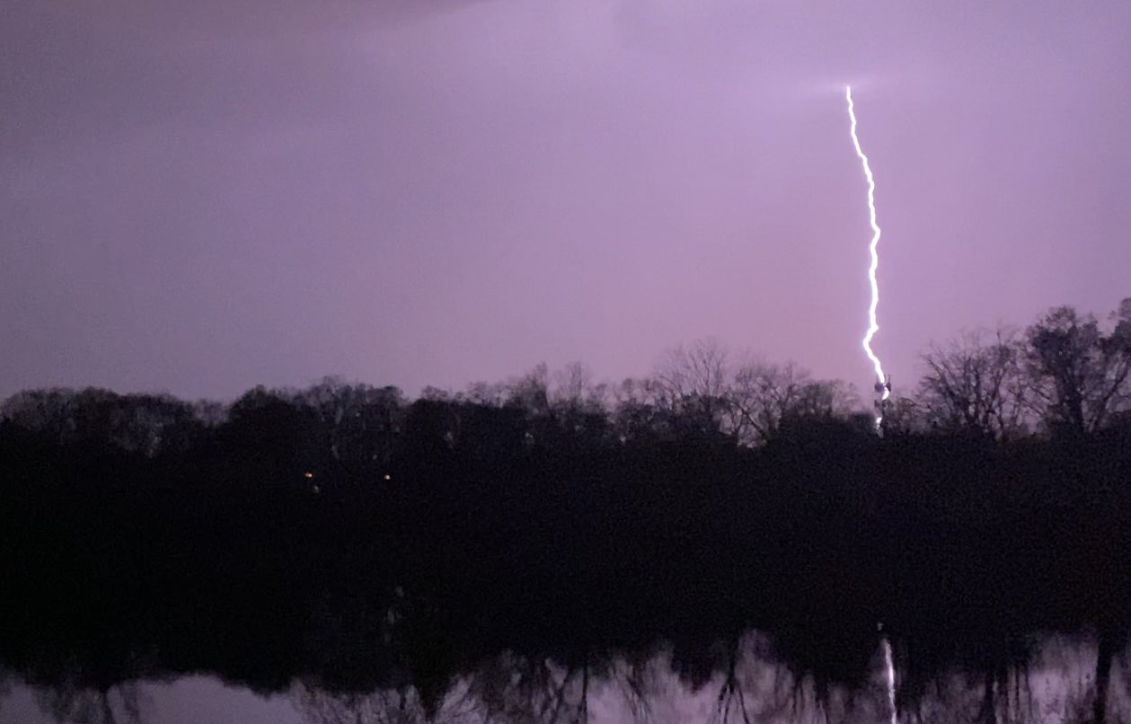
While some may have been woken up by rumbles of thunder, flashes of lightning and heavy downpours early Thursday morning, a second, even stronger round of storms is expected to move in Thursday afternoon and evening, forecast models show.
Forecast models show the bigger round of potentially severe storms is expected to develop after 3 p.m., just in time for the afternoon commute.
Feeling out of the loop? We'll catch you up on the Chicago news you need to know. Sign up for the weekly Chicago Catch-Up newsletter here.
Winds are expected to pick up during the afternoon hours as well, bringing gusts between 35 and 45 mph.
The National Weather Service reported a line of strong to potentially severe storms were developing near the Mississippi River just before 2 p.m. Those storms were expected to move northeast and enter northern Illinois later in the afternoon.
What happens during the afternoon hours will largely impact the threat of severe storms later in the day.
If sunshine and warmer temps heat up the region, the threat for severe conditions increases heading into the evening hours.
But if clouds and rain showers keep the atmosphere cool, the severe threat is "greatly reduced," according to the NWS.
"If cloud cover and showers keep temperatures cooler than expected this afternoon, then that would greatly reduce the risk of any severe weather," an alert from the NWS says. "However, if there is some sunshine this afternoon and temperatures are able to heat up, then conditions would likely become favorable for severe thunderstorms late this afternoon and into very early this evening."
If those conditions do form, "all weather elements are at play," the NBC 5 Storm Team says.
The severe conditions are expected to continue through at least 8 p.m. Some scattered showers and storms may remain even longer, but are expected to end before midnight, the NBC 5 Storm Team says.
The main threats with Thursday's storms will be isolated tornadoes, heavy rainfall, localized flooding, gusty, damaging winds of up to 60 miles per hour, lightning and large hail.
Although temperatures Thursday are expected to hit a high of 77 degrees, a cold front passing through Thursday night will push those temperatures back down, the NBC 5 Storm Team says.