
One day after rain and slushy, heavy snow dumped down on much of the Chicago area, forecast models showed more snow and rain was on the way is on tap for this week, followed by frigid cold temperatures in the single digits and wind chill values below zero.
According to the NBC 5 Storm Team, Tuesday's snow showers were expected to wind down by early Wednesday morning, with dry, cloudy skies expected for the rest of the daytime hours.
Temperatures Wednesday were expected to hover in the low-to-mid 30s, NBC 5 Meteorologist Alicia Roman said, but breezy conditions and cold wind chills will make it feel in the 20s by afternoon.
Late Wednesday night is when another round of snow is expected, Roman said, with snow moving in from the west between 9 p.m. and 10 p.m.
"The next round of light snow arrives this evening and tonight with pockets of slippery travel," the National Weather Service warned.
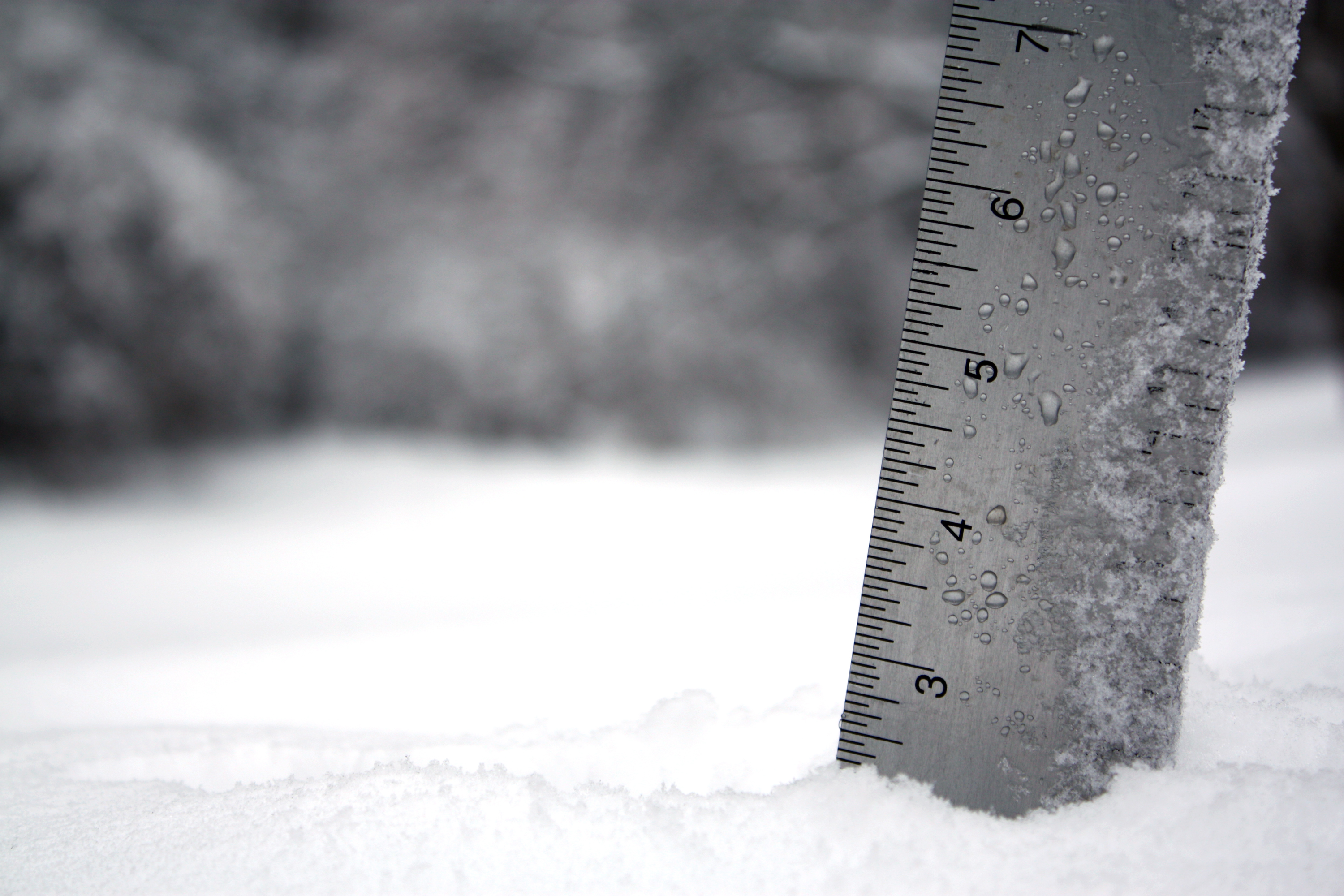
That snow is expected to continue overnight, Roman said, but move out by 8 a.m. Thursday. Accumulation from that quick-moving system is likely to remain between 1 and 2 inches, with the potential for slightly higher totals to the north and west.
While much of Thursday is expected to remain dry, another "significant" winter storm will develop Thursday night and Friday, with snow lingering into Saturday morning and tapering by afternoon, Roman said.
The NWS emphasized that details on the winter storm, as well as the rain/snow line remained unknown. However, "several inches of accumulating snow in combination with strong winds" could result in difficult travel across the area into Saturday, the NWS said.
While one model showed snow totals over 6 inches in some parts, Roman emphasized that totals associated with Friday's system were expected to change.
Feeling out of the loop? We'll catch you up on the Chicago news you need to know. Sign up for the weekly Chicago Catch-Up newsletter here.
The snow is expected to arrive in the Chicago area Friday morning, with the brunt of the storm expected to hit Friday afternoon and evening, with threats of major travel impacts to the evening commute.
Much colder air will spread across the region beginning Sunday, producing potentially dangerously cold wind chills, Roman said.
The cold, arctic mass could result in "ice jam-related flooding" in some parts early next week, the NWS said.
By next week, the "coldest air of the season is expected to arrive," the NWS said, with wind chills in the negative teens or even 20s at times.
Roman reported a high of 9 degrees Sunday, with temperatures dipping to a high of 3 degrees Monday, and 6 degrees Tuesday.
The NBC 5 Storm Team is tracking this forecast as it develops. Stay tuned for updates as each system approaches.
