
Chicago saw measurable snow and bitter cold temps of the last few days and the winter season hasn't even started, but is that an indicator of what to expect this winter as a strong El Niño is expected?
As of the latest update on Nov. 9, the National Oceanic and Atmospheric Administration reported an El Niño could continue even into spring 2024.
"Based on latest forecasts, there is a greater than 55% chance of at least a 'strong' El Niño persisting through January-March 2024," the NOAA reported.
On top of that, there's a possibility the event could become "historically strong" for the months of November through January.
According to the Storm Team, the Northern Hemisphere is entering into its strongest El Niño winter in nearly a decade.
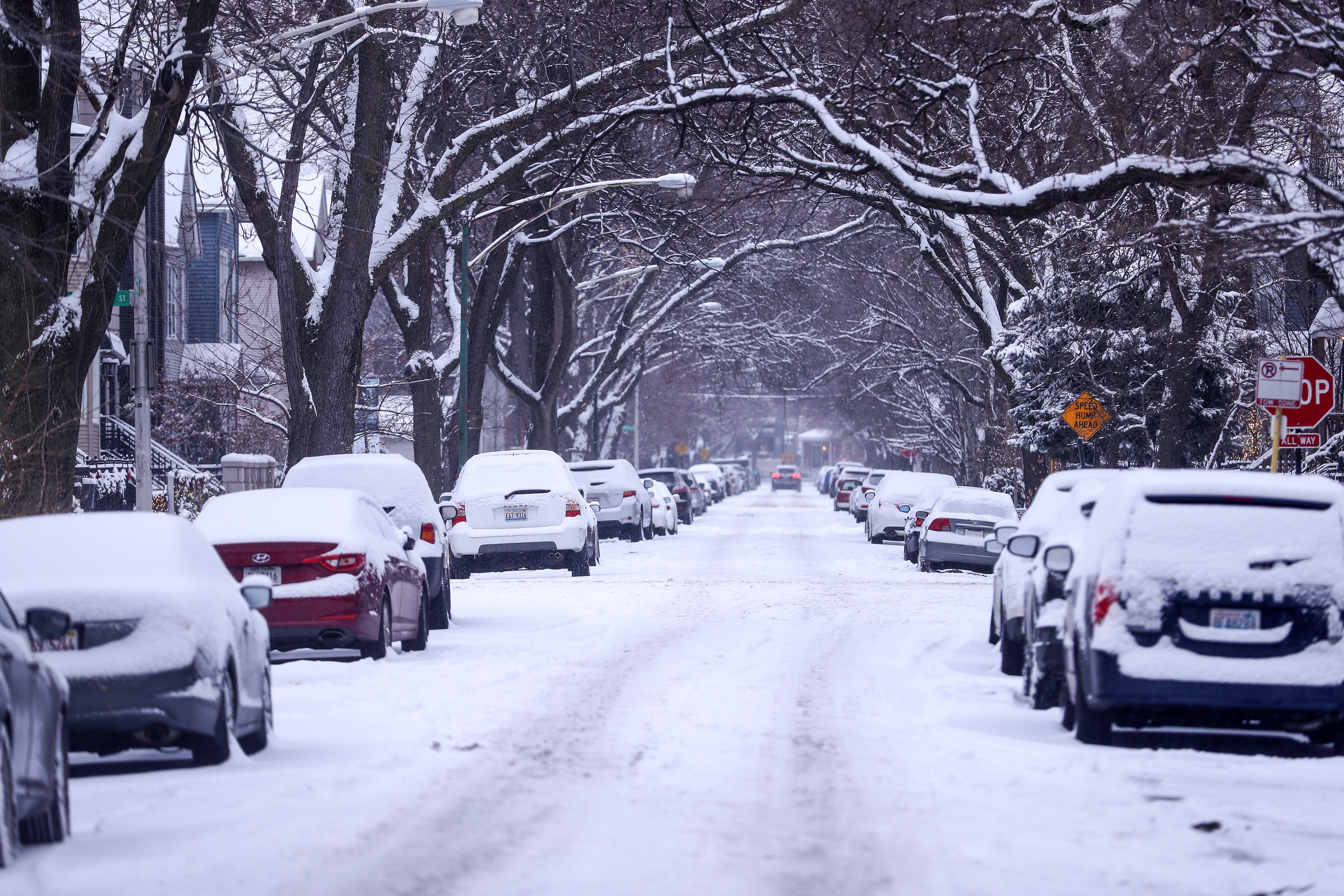
Chicago typically sees its first trace of snowfall on Oct. 31, and that is exactly what happened this year, as the city measured 0.9 inches of snow on Halloween.
The city typically sees its first snowfall of 1 inch or more on Dec. 7, according to data from 1991 through 2020. This year, the area saw just under 2 inches of snow on Nov. 26, the NBC 5 Storm Team reported.
But while the region is getting an early taste of winter, that likely isn't a sign of the season to come.
What is an El Niño?
An El Niño weather pattern originates in the Pacific Ocean, and occurs when water temperatures near the equator rise above average. This is due to a shift in trade winds, which in turn change the currents within the oceans.
Feeling out of the loop? We'll catch you up on the Chicago news you need to know. Sign up for the weekly Chicago Catch-Up newsletter here.
When the water is warm, it can alter the position of the jet stream across the globe.
It is the opposite of a La Niña, which is when winds shifts in the opposite direction.


What does an El Niño winter mean for Chicago?
As the jet stream shifts farther north from Chicago, it could give us a milder and drier winter.
However this isn’t always the case, and we can still get some big snow events even during an El Niño winter, according to NBC 5 Storm Team Meteorologist Kevin Jeanes.
The stronger the El Niño, the more likely we’ll have a drier and milder winter. The weaker it is, the lower the correlation.
So what kind of El Niño is forecast this season?
According to the Climate Prediction Center, the Chicago area is currently in a “moderate-to-strong” El Niño pattern, with a 55% chance of it developing into a “strong” El Niño year. There is also a 35% chance an “historically strong” El Niño could emerge.

Far out projections anticipate "slightly drier than average" conditions for parts of the Midwest in the coming months, but temperatures are expected to be "slightly above average" as well.
In NOAA's recently released seasonal temperature outlook, which offers predictions for Dec. 1, 2023 to Feb. 29, 2024, forecasters are “leaning” toward a warmer-than-normal winter for most of Illinois and Indiana.
In terms of precipitation, most of Illinois is expected to have roughly normal snowfall amounts this winter, but nearly all of Indiana, as well as far-eastern Illinois, is projected to have below-average amounts of precipitation during the winter.
Typically, at O'Hare Airport, average snowfall for the month of December is 8 inches. For January it sits at 11.3 inches and for February, the number is 10.7 inches.
In general, some of the impacts could include:
- Summers tend to be slightly cooler and wetter than average
- Falls tend to be wetter and cooler than average
- Winters tend to be warmer and drier
- Springs tend to be drier than average
- Snowfall tends to be below average
- Heating degree days tend to be below average, which means lower heating bills.
What happened during previous 'very strong' El Niño winters?
According to CPC data, the last two “very strong” events were in winters 2015-16 and 1997-98, and those winters can be instructive in terms of temperature and snowfall.
During the meteorological winter spanning Dec. 1997 to Feb. 1998, the Chicago area only received 16.3” of snow, which is nearly half the average snowfall total for those three months. That winter also ended up with an average temperature 3.1-degrees above the norms, with February seeing an average temperature nearly 10 degrees above normal.
Between Dec. 2015 and Feb. 2016, the area received 16.5” of snow. Temperatures were once again well above normal, approximately 2.7 degrees above average. December of that year was especially warm, 8.5 degrees above normal.

Those strong El Niño winters produced very mild seasons with about half the area’s average snowfall.
To sum up the data, if the area ends up experiencing a strong El Niño, we are more likely to end up with a drier, milder winter, such as those in 1997-98 and 2015-16.
What if it's not as strong of an El Niño?
A moderate El Niño doesn’t have quite the same punch. The El Niño that impacted the Northern Hemisphere between Dec. 2009 and Feb. 2010 was moderate, and while temperatures were still 3 degrees above average, there was plenty of snow.
In fact, that winter had the eighth-snowiest December (20.8”) and fifth-snowiest February (22.5”) since recordkeeping began in the 19th Century. In all, the Chicago area received 52.4 inches of snow during meteorological winter.
If El Niño is more moderate, it could increase the potential for more snowfall, and perhaps some cooler temperatures.
