
A warm front and a cold front are both pushing toward the Chicago area on Sunday, and they will bring muggy conditions and the chance for severe weather to wrap up the weekend.
As the morning moves along, clouds are expected to build into the area, with a scattered shower or two possible, according to current forecast models.
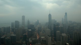
Temperatures, which will start out on the cooler side, will begin to rise quickly into the mid-to-upper 80s by the early afternoon. The dewpoints will also increase, with more humid conditions arriving ahead of the warm front.
That front will bring with it the chance of rain, but as the afternoon wears on, the chance for severe weather will ratchet up, with thunderstorms developing due to the unsettled atmosphere.
Those storms will bring plenty of lightning and rain, with some localized flooding possible, but the main threats will come in the form of strong winds, with gusts upwards of 60 miles per hour possible, and large hail, with two-inch diameter hail possible.
There is also a threat of isolated tornadoes, according to forecast models, so residents are encouraged to stay vigilant as the day moves along Sunday.
After the initial burst of showers and thunderstorms ends, the threat of rain will continue, as a cold front follows closely behind the warm front. More showers and some more strong thunderstorms could occur late Sunday evening, according to forecast models.
Local


The front will make its way out of the area early Monday morning, and behind it will be much drier, and cooler, conditions. Highs Monday are only expected to reach the low-to-mid 70s, and that weather pattern will hold for Tuesday as well before temperatures begin to climb back into the 80s by Wednesday.
Feeling out of the loop? We'll catch you up on the Chicago news you need to know. Sign up for the weekly Chicago Catch-Up newsletter.