After weeks of a deep freeze topped with massive amounts of snow, there's some good news on the horizon for the Chicago area.
That's because temperatures could finally rise above freezing this weekend.
According to early predictions, temperature highs could reach up to 34 degrees Sunday, where they will stay for the start of next week.
But first, the area will have to get through a few more days of temperature highs in the teens and 20s, with overnight lows dropping into the single digits at times.
Wednesday begins with partly sunny skies that quickly turn cloudy, with light snow developing in the afternoon and evening. There's a chance for light snow in the evening that could accumulate, but only a dusting to an inch is expected.
Thursday will be mostly cloudy with lake effect snow showers on occasion. The day looks to be breezy and not quite as cold with highs in the low to mid 20s.
The weekend starts partly sunny, breezy and colder with highs in the upper teens to low 20s, while Saturday is poised to see similar conditions though not quite as cold with highs in the mid 20s.
The next chance for snow again, or an icy mix of snow and rain, comes with the warmth Sunday.
Snow could develop in the late morning or afternoon. An icy mix of snow and rain possible towards the Kankakee River Valley.
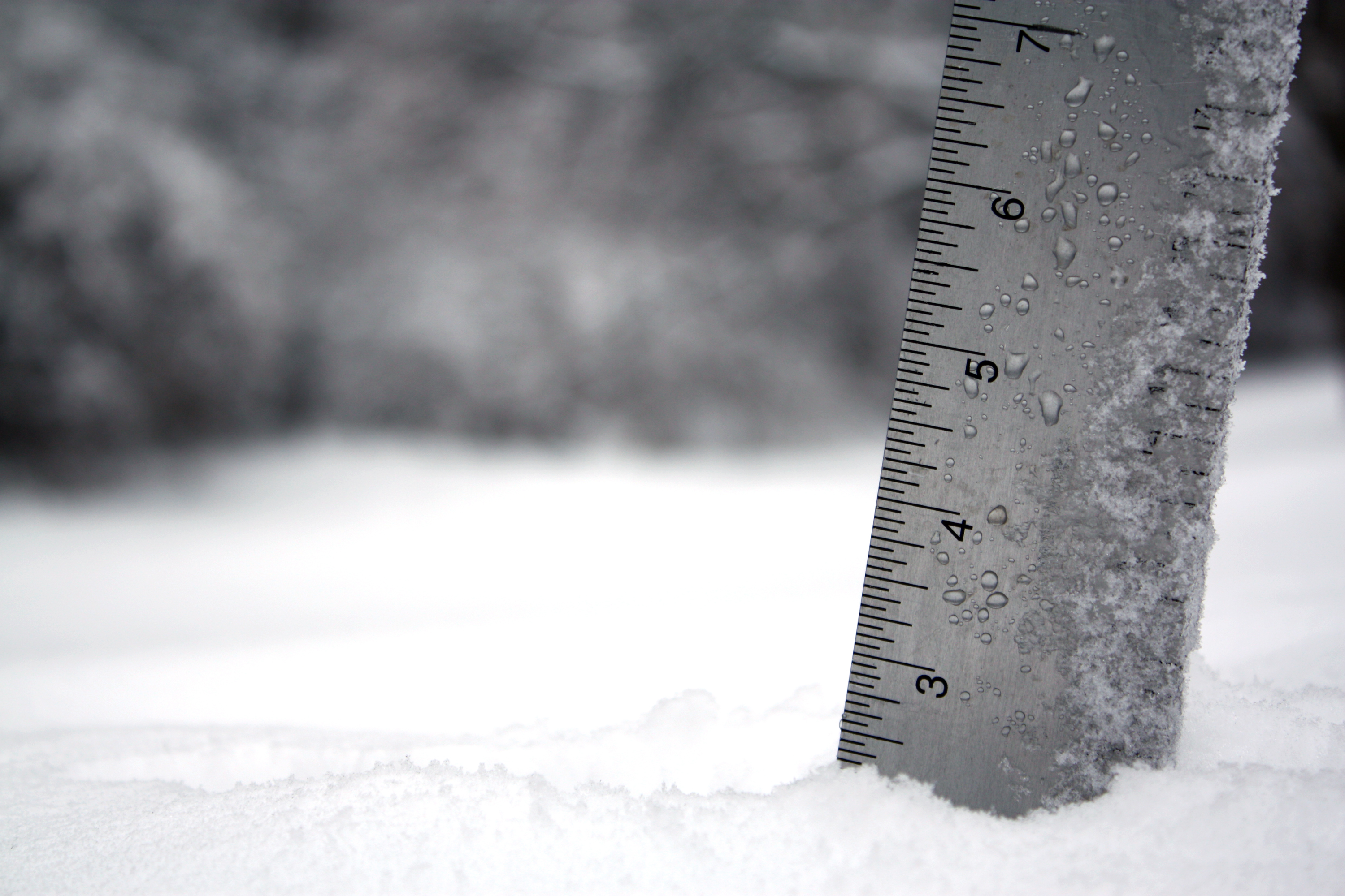
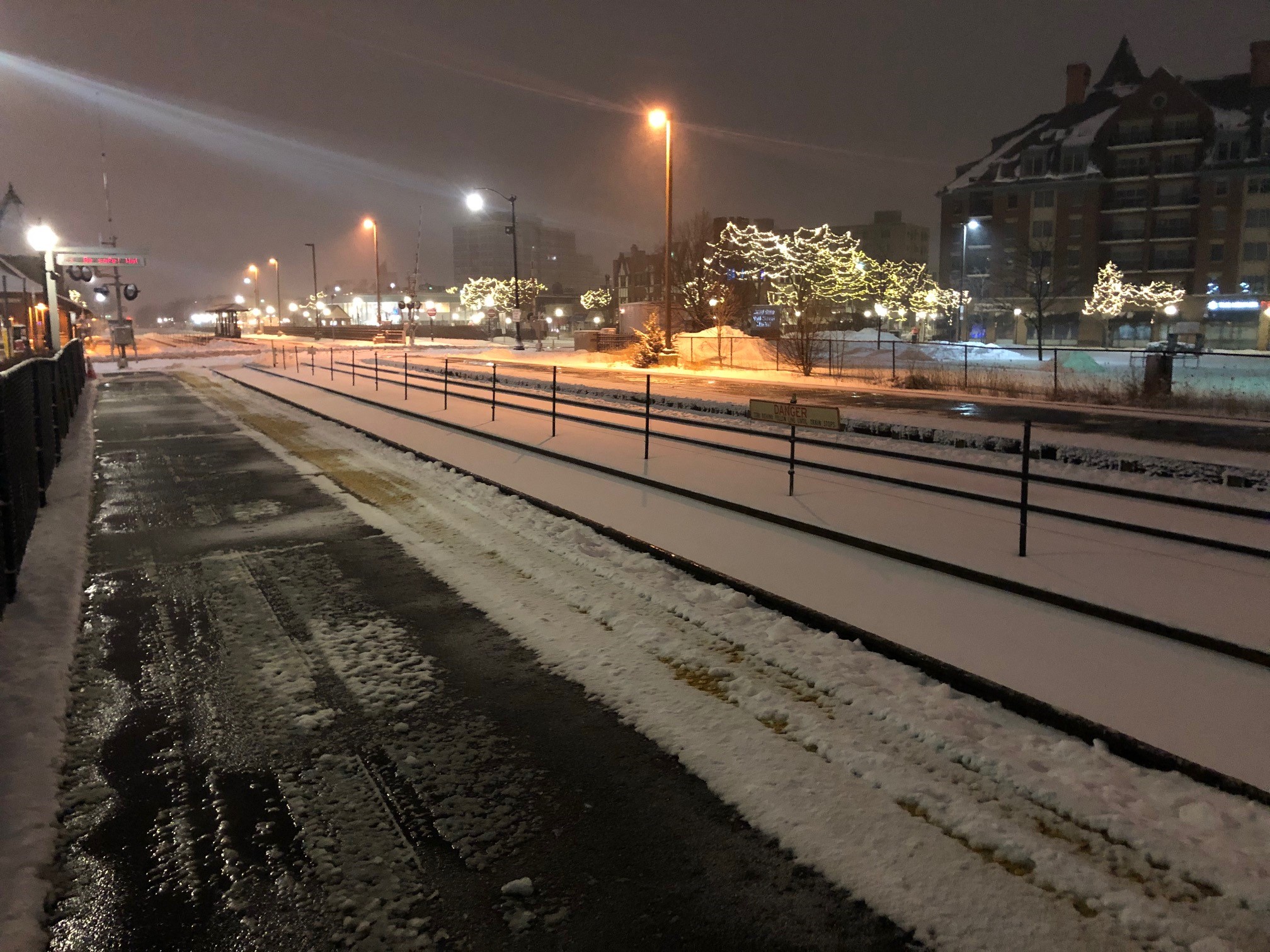
The Chicago area was still cleaning up Wednesday morning from a major winter storm that blanketed parts the region in more than a foot of snow earlier in the week - with more snow on the way.
As of Tuesday, the city has seen nine straight days of measurable snowfall recorded at O'Hare Airport. That ties the record for consecutive days with measurable snow in the city, which was set between Feb. 3-11 in 2018, according to the National Weather Service.
Chicago has seen as much snow as it typically sees in an entire winter season in the last few weeks alone. The city on average sees about 36 inches of snow in a winter, but in a span of 22 days, 36.2 inches of snowfall has been recorded.