
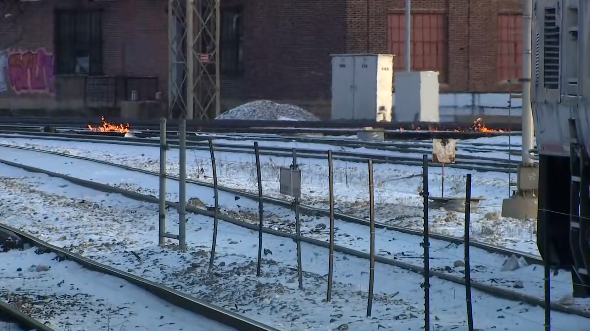
A bitter blast is wreaking havoc on the Chicago area, bringing the coldest temperatures seen in several years — and it's not over yet.
While the dangerously cold temps arrived Sunday and continued into Monday, they are expected to linger largely through mid-week.
But is there an end in sight?
Here's what to know:
Wind chill warnings and alerts
A wind chill warning remains in effect for the entire Chicago area, sparking school closures and flight cancellations across the region.
According to the National Weather Service, the warning will remain in effect until noon Tuesday for many, with wind chills potentially dropping as low as 40 degrees below zero at times.
Here's a look at the list of alerts across the Chicago area:
Kankakee and eastern Will counties in Illinois and Lake and Porter counties in Indiana: Wind chill warning through noon Monday. Wind chill advisory through 9 a.m. Wednesday.
McHenry, Lake, DuPage, Cook, DeKalb, Kane, LaSalle, Kendall, Grundy and northern and southern Will counties in Illinois: Wind chill warning through noon Tuesday. Wind chill advisory until 9 a.m. Wednesday.
Feeling out of the loop? We'll catch you up on the Chicago news you need to know. Sign up for the weekly Chicago Catch-Up newsletter here.
Newton and Jasper counties in Indiana: Wind chill warning through noon Monday.
For those outside in the cold, wind chills can be dangerous, causing frostbite in as little as 10-to-30 minutes on exposed skin.
Residents are advised to avoid outside activity if possible. If residents have to be outside, they are encouraged to wear protective clothing and to minimize travel time whenever possible.
After the wind chill warning expires, a wind chill advisory will remain in effect through 9 a.m. Wednesday for several counties, according to NWS officials. It isn't until Wednesday morning that wind chills are expected to rise above -10 degrees.
What else to expect
On top of the cold conditions, more snow isn't out of the question for the Chicago area.
"A couple of chances for snow exist this week — the first of which will come tonight for areas mainly S of I-80, where up to 1" of snow could produce slick travel. Another chance for snow is expected area-wide during the mid-late week time frame," the NWS tweeted.


What's next?
Wind gusts are expected to continue through the next several days, and while some relief is in sight, another arctic blast is set to move in before the week is up.
Conditions will start to ease Wednesday morning and into Thursday. By Thursday evening, however, wind chill values as low as -20 are possible and could continue into Friday as the second bitter blast moves in.
The second round of cold is expected to last through Sunday, but is not expected to be as bad as the current conditions.
The coldest temperatures are expected in inland areas.
How cold is it really?
While this week's cold isn't quite record-breaking, it's still notable for the Chicago area.
The forecast lows for Monday and Tuesday are around -10 degrees, marking the coldest air we’ve had in Chicago in the last five years — since Jan. 31, 2019, according to the NBC 5 Storm Team.
Since record-keeping began in 1872, the city has seen just 208 days drop to or below -10 degrees. Only 15 days have dropped to or below -20.
The coldest recorded temperature is -27 from Jan. 20, 1985.


The magnitude of the bitter air temperatures is comparable to Jan. 5-7, 2014, when overnight lows of -15 to -20 were recorded alongside prolonged stretches of sub-zero temperatures — though the 2014 event was a few degrees colder than current conditions, the NWS reported.
Officials called it the "coldest air mass we've seen in five years."
