With experts urging travelers to consider alternate plans leading up to the Christmas holiday as confidence in a potential winter storm grows, how much snow should you expect and when in the Chicago area?
Forecasters say a major winter storm is possible across a large swath of the Midwest starting Thursday, but there's still quite a bit of uncertainty even as new details emerge in the lead-up to the event.
Here's a look at what we know so far and what you can expect:
Thursday Morning and Afternoon
According to the most recent predictions, snow is expected to begin Thursday morning, though it won't be the most intense.
Marking a change Tuesday morning, a winter storm watch was moved up for some counties to as early as Thursday morning. Those counties include: McHenry, DeKalb, Kane, LaSalle, Kendall and Grundy.
Things will "rapidly" worsen heading into Thursday afternoon, with snow growing more widespread and becoming stronger.
A winter storm watch for Lake, DuPage, Kankakee, Cook and Will counties in Illinois, and Lake, Porter, Newton and Jasper counties in northwest Indiana, was also moved up, now beginning Thursday afternoon, according to the National Weather Service.
According to forecasters, the timing of the intensity was originally later, but new models show "slightly faster arrival of deteriorating conditions Thursday afternoon."
The alert warns that "falling and blowing snow may result in white out conditions with zero visibility at times, making travel extremely difficult, if not impossible."
Feeling out of the loop? We'll catch you up on the Chicago news you need to know. Sign up for the weekly Chicago Catch-Up newsletter here.
"Power outages will also be possible as a result of strong damaging wind gusts to 55 mph," it states.
Icy roads could add to the hazardous conditions as temperatures rapidly fall.
Thursday Evening
The intense winter storm is expected to be widespread at this point. This marks the time when it could could generate blizzard conditions and is expected to "severely" impact travel.
Friday Morning
Major impacts are expected from the snowstorm throughout the day Friday.
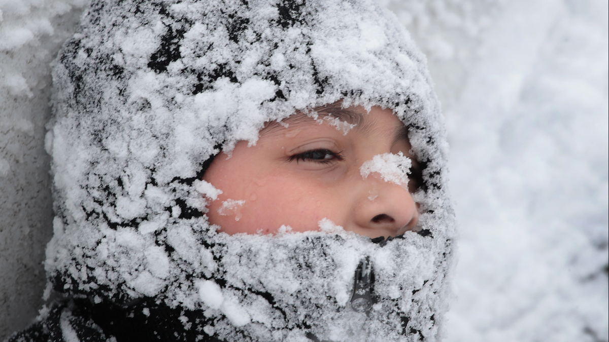
Expect heavy snow, strong and damaging winds, difficult or near-impossible travel conditions and dangerously cold temperatures and wind chills.
Wind chill readings are expected to drop near -30 as early as Friday morning.
Friday Afternoon and Evening
The winter storm watch is slated to continue through late Friday evening as the storm and potentially "blizzard-like" conditions hold strong.
Forecasts are unclear as to how much snow may actually fall as snow but the snow is expected to begin subsiding overnight.
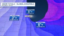
Early predictions so far indicate the Chicago area could see between 5 and 9 inches of snow, with higher totals possible, especially in northwest Indiana. Some locations could also see lower totals.
Christmas Eve and Christmas Day
Snow begins to lighten early Saturday morning, but hazardous travel conditions are slated to continue through the weekend as dangerous cold continues.
Minimum wind chills of -20 to -30 degrees are expected with highs in the single digits and low teens. Lake effect snow showers are also possible in parts of northwest Indiana, according to the NBC 5 Storm Team.
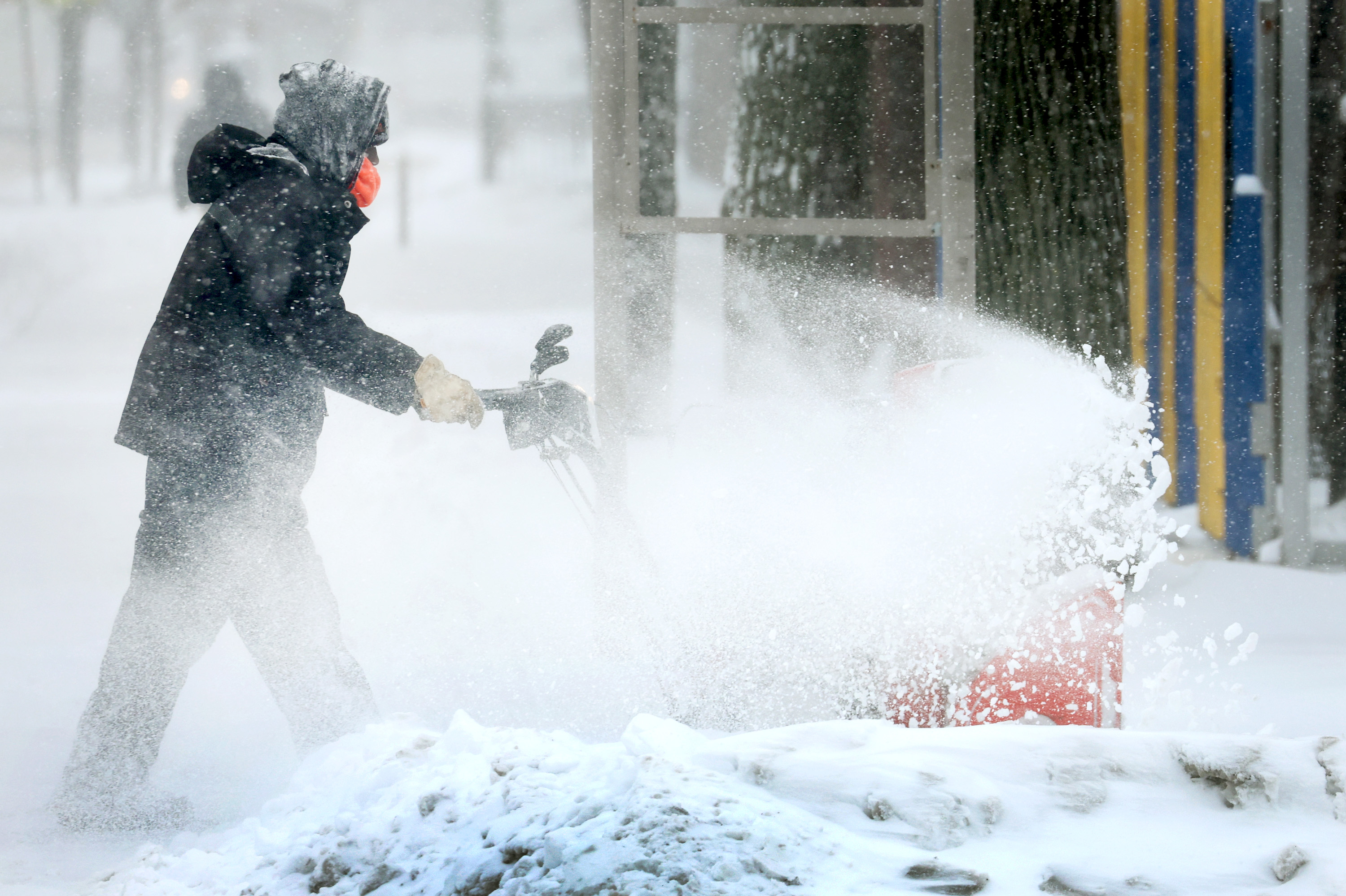
Difficult and impossible travel conditions could linger, particularly in the morning hours Saturday, as blowing and drifting snow remains a concern.
What to Know if You're Flying this Week
According to the Chicago Department of Aviation, approximately 2.9 million travelers are expected to pass through O'Hare and Midway International Airports between Dec. 21 and Jan. 2. However, flight delays and cancellations caused by the winter storm could leave passengers stranded, and scrambling to find new tickets.
"If you go to the airport and the flight keeps getting delayed and then canceled, all those seats that were going to be taken for a few days later are going to be gone," said travel influencer John DiScala, who runs the travel website Johnny Jet
"I would be proactive," DiScala said. "Get on it now; save yourself a miserable experience. Stay warm. Stay home or in your hotel, then travel."
As of Monday night, several major carriers offered changes to certain itineraries for no fee. Here's a breakdown:
- American Airlines: No change fee for scheduled flights between Dec. 21 and Dec. 23
- Southwest Airlines: No change fee for scheduled flights between Dec. 21 and Dec. 23
- United Airlines: No change fee for scheduled flights between Dec 22 and Dec. 25
"If [airlines] are offering you a travel waiver where they will change your ticket for free, no charge, and put you on a couple of days later after the storm, get on it now while there are still seats available, if there are still seats available" DiScala said.
What to Know If You're Driving This Week
Driving may not provide much relief, especially as canceled flights may put more motorists on the road.
AAA expects 113 million Americans -- 5.8 million in Illinois alone -- to travel 50 miles or more between Dec. 23 and Jan. 2, but with several inches of snow, bone-chilling cold and high winds expected, roadways in the Midwest could be heavily-impacted.
According to the National Weather Service, Thursday evening through Friday is predicted to be the worst day to hit the road, with possible blizzard conditions making travel "difficult to impossible."
During the 11-day holiday period, AAA expects to rescue 899,000 stranded motorists. Make sure you have an emergency kit in your car, including jumper cables, a first-aid kit, a portable phone charger, an ice scraper, extra warm clothes along with water and snacks, AAA recommends.
And while the snow isn't expected to continue all weekend, dangerously cold temperatures are expected to remain, thanks to bitterly cold temperatures and even lower wind chill readings. According to the NWS, cold temperatures could lead to ice on rivers, with an increasing threat of flooding caused by river ice jams.