It may finally start to look and feel like winter in Chicago this weekend as the first of two systems is set to hit the area late Friday night.
And while the first wave, arriving overnight Friday and lingering into Sunday, is expected to result in some snow showers, the track and form of the second one, expected to hit the area early next week, remains "unknown and ever-changing."
"We have a system Tuesday, but it keeps changing," NBC 5 Meteorologist Alicia Roman said. "We have a very evolving, ever-changing forecast as we head into next week. I want you to keep that in mind."
Some models initially predicted up to nine inches of snow as part of Tuesday's system. However, Roman said, the newest models show precipitation could come mostly in the form of rain.
Here's a look at this weekend's forecast, and what we know about next week's weather system.
Weekend forecast
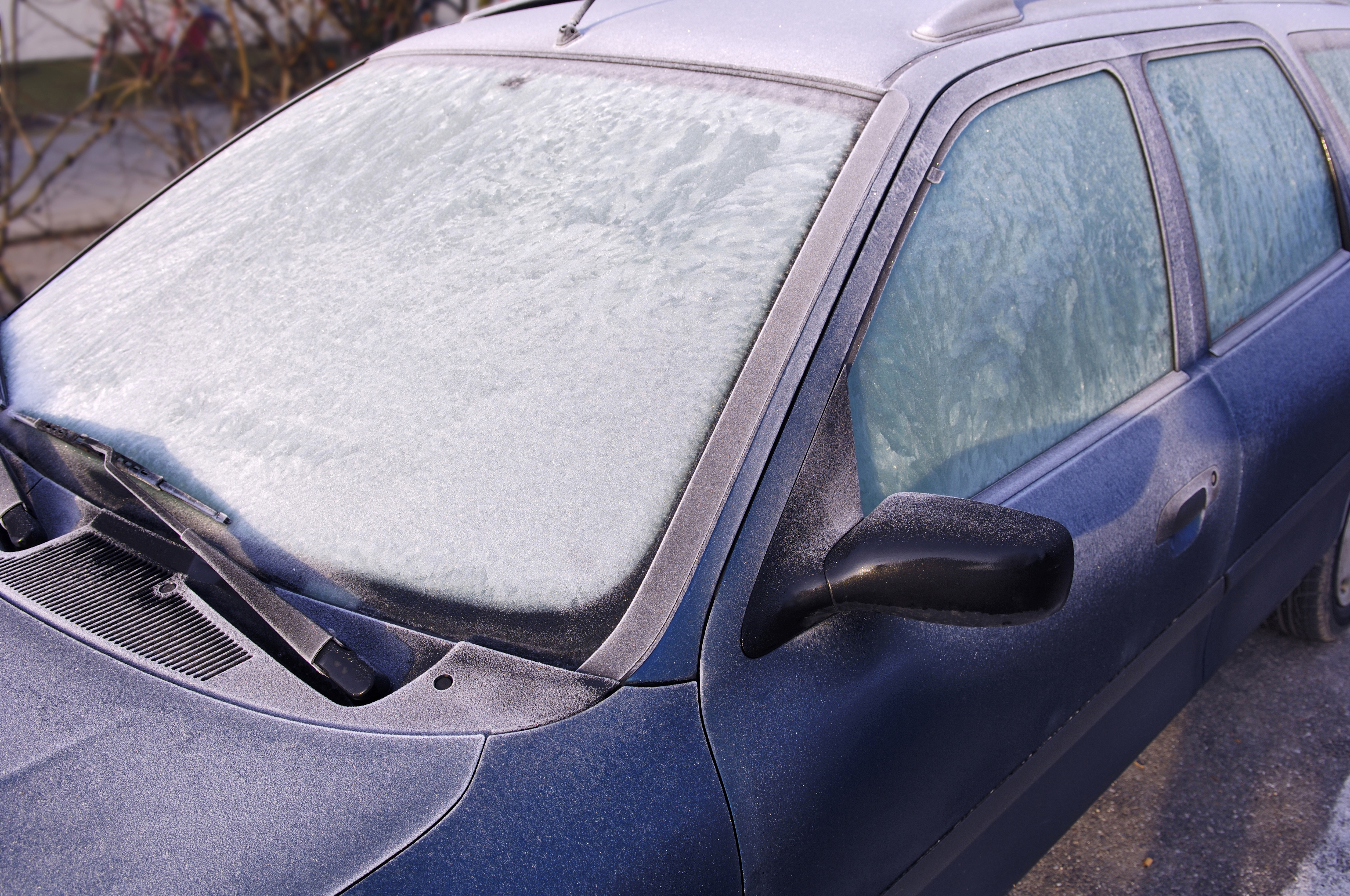
Friday during the daytime hours will be mostly cloudy and dry, with a high of 37 degrees Roman said. Later in the evening, around 10 or 11 p.m., snow showers are expected to move into the Chicago area's southern counties, lifting upwards and continuing through Sunday morning.
"These snow showers will but scattered at times," Roman said. "Flurries. Not a lot as we head through the weekend."
Most areas will see only a coating of snow, around 1-2 inches, Roman said. However, counties to the south and east, and parts of Northwest Indiana could see higher accumulations.
Feeling out of the loop? We'll catch you up on the Chicago news you need to know. Sign up for the weekly Chicago Catch-Up newsletter here.
An alert from the National Weather Service indicated the scattered snow could result in slippery travel conditions Saturday morning.
"Snow will develop tonight, with the highest coverage east of I-55," the alert said. "Minor accumulations of 1-2 inches will likely lead to slick travel into Saturday morning."
Temperatures through Sunday are expected to hover in the mid-30s, with lows dropping into the 20s overnight, Roman said.
Snow next week?
Forecast models this week showed a wide range of how much snow could fall as part of next week's "ever evolving" system.
Earlier this week, the European Model showed estimations of between 6 and 8 inches of accumulation. The Global Model, however, has fluctuated significantly, with latest estimates showing only 3 inches.
By Friday morning, those predications had changed as well.
"The track is uncertain," Roman said "Late Monday into Tuesday, we could see some snow, but it also looks like rain showers for many."
The National Weather Service also reported the chance for a wet, rain-snow mix was increasing, but that it still remained too early to predict.
"Substantial uncertainties still exist," the NWS stressed.
According to Roman, the Chicago area in 2023 and 2024 had seen only 3.9 inches of snow, which amounts to approximately nearly 7 inches below the average.
While temperatures through much of next week will remain in the 30s, a dip is coming, with highs in the 20s expected by the second weekend in January.