
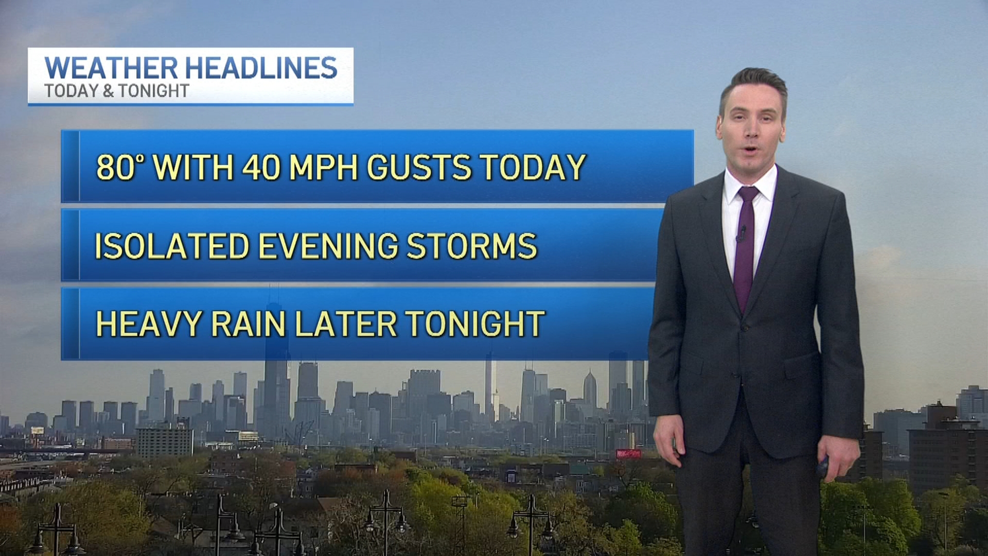
Spring is going to be out in full force in the coming days across the Chicago area, with multiple chances of severe thunderstorms looming as a strong cold-front approaches.
The main focus will be Friday evening in terms of severe weather, with the Chicago area at a “slight risk” of severe storms. Areas to the west will be at an “enhanced risk,” with damaging winds, heavy rainfall and even the possibility of tornadoes existing for most of Illinois.
Here’s what we know about the coming days.
Thursday Overnight Into Friday
Feeling out of the loop? We'll catch you up on the Chicago news you need to know. Sign up for the weekly Chicago Catch-Up newsletter here.
After a mostly-dry day on Thursday, things will begin to change late in the day and into the overnight hours, as showers and thunderstorms are expected to develop.
Some of those thunderstorms could even reach severe limits, but the timing of their arrival is still up in the air, with the storms likely rolling in during the overnight hours into Friday morning.
Friday Afternoon
Local

After a brief respite from the storms, they’ll begin to refire on Friday afternoon, with strong thunderstorms potentially forming before the afternoon commute begins, according to forecast models.
While those storms aren’t likely to be severe in nature, they will portend the arrival of a strong cold-front that is going to bring with it the region’s best chance for severe weather in the coming days.
Friday Evening
As the evening moves along Friday, following a day where high temperatures will reach well into the 60s, the best chance for severe weather will arrive with the approaching front.
That front could potentially cause severe thunderstorms across the entire Midwest, with most of western Illinois under an “enhanced” risk of severe weather. The rest of Illinois, as well as all of Indiana, are at a “slight” risk of severe storms, according to the Storm Prediction Center.
Those storms could pack wind gusts in excess of 70 miles per hour out ahead of the front, and will also bring torrential rainfall and frequent lightning to the region.
Tornadoes could also form ahead of the front, and could become rain-wrapped, making them more difficult to see even if they occur during the daylight hours.
Saturday Morning
The back end of the storm system will push its way out of the area Saturday morning, but with the drop in temperatures, there is a possibility of some mixed precipitation, especially in areas north of Interstate 80.
That will eventually clear out by the noon hour, paving the way for a mostly-dry weekend across the area.
