
Atmospheric conditions in the Chicago area "are favorable for the development of funnel clouds," according to the National Weather Service, which noted these types of weak funnel clouds rarely touch down and typically don't pose a hazard.
"These funnel clouds normally only protrude a few hundred feet downward from the parent cloud, rotate or spin like a top, and last a few minutes before dissipating," the NWS said in a statement.
In addition, the NWS said the conditions these clouds develop in "do not support strong, damaging tornadoes. However, on extremely rare occasions, these funnels can briefly touch the ground and produce very minimal, if any, damage."
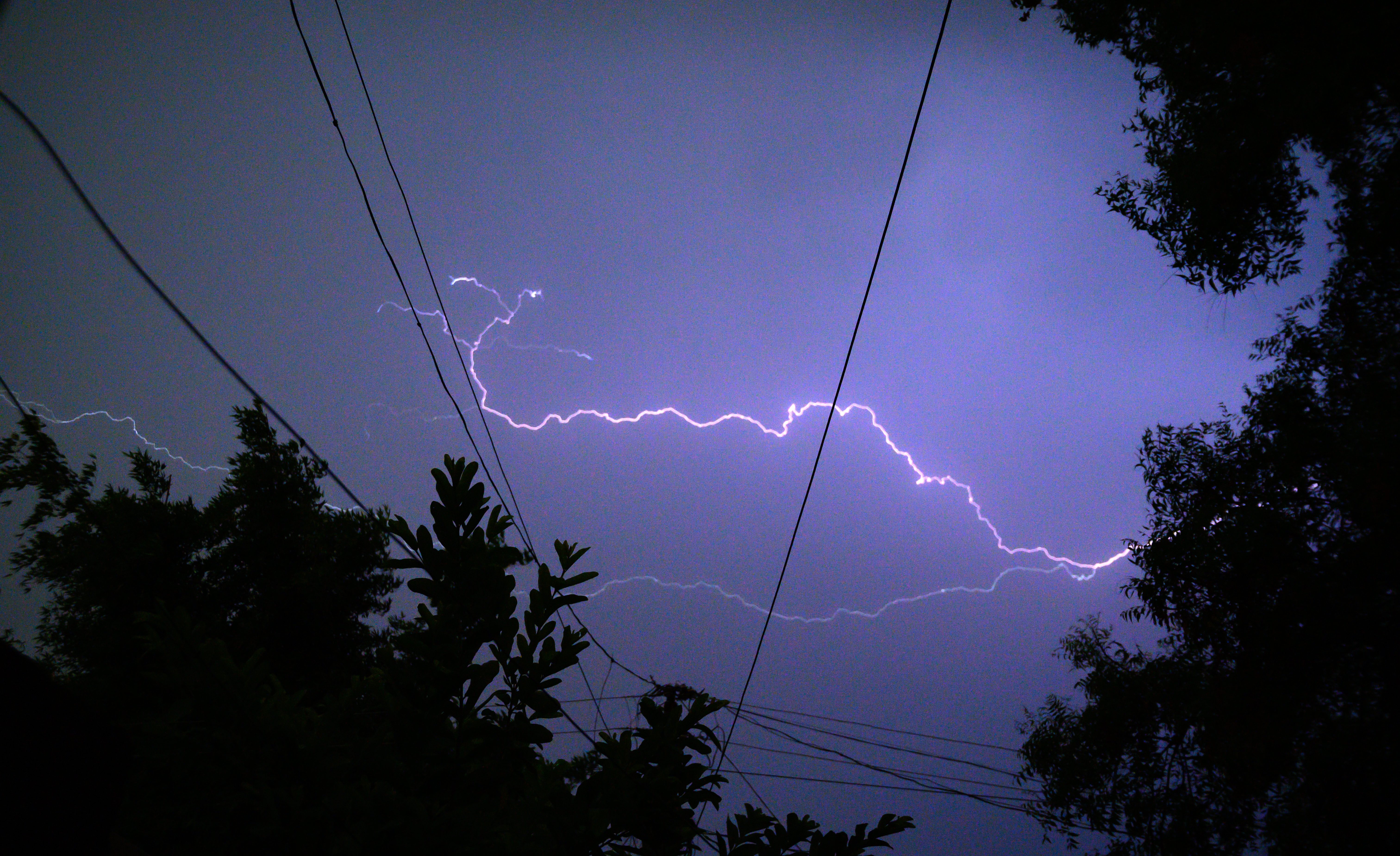
The Chicago area likely will see slow-moving showers and isolated thunderstorms Friday, along with soaking downpours and occasional lightning strikes, the NWS said.
Feeling out of the loop? We'll catch you up on the Chicago news you need to know. Sign up for the weekly Chicago Catch-Up newsletter here.
The weather service encouraged people to move indoors to a safe place if threatening weather does approach.
A severe thunderstorm watch was issued for Kankakee County, along with Jasper, Lake, Newton and Porter counties in Indiana. The watch is set to remain in effect until 11 p.m. Friday, according to the National Weather Service.
A flash flood watch is in effect for most of the metro area through Saturday morning. The counties included in the watch were Central Cook, Kane, DeKalb, La Salle, Kankakee, Grundy, Northern Will, Kendall and DuPage in Illinois, as well as Newton, Jasper, Lake and La Porte in northwest Indiana.
Local

The NWS warns that several rounds of "torrential rainfall producing thunderstorms" will move across the area through Saturday morning, with more rounds of storms Sunday morning as well. The heavy rain could lead to rapid on-set flooding, per the NWS, advising residents to stay alert and use caution on roadways.
Saturday is expected to start mostly cloudy, breezy, warm and humid with periods of scattered showers and storms expected. The threat for heavy rain continues with a low-end risk of severe storms, but many dry hours in between any storms.
Mostly to partly cloudy conditions continue into Sunday, with scattered showers and isolated storms favoring areas south and in northwest Indiana.
The work week starts partly sunny and seasonably warm on Monday, with a chance of showers and isolated storms again and highs in the upper 70s to low 80s but cooler by the lake.
