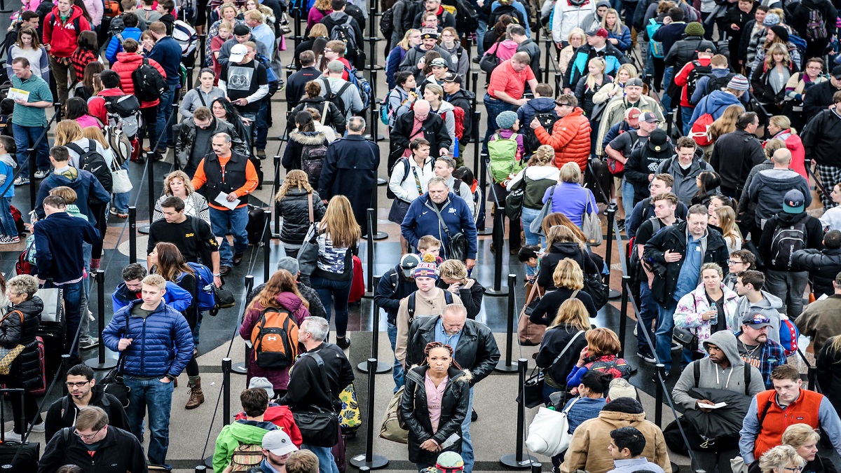
Chicago officials provide an update as the city’s March snowstorm continues.
The March snowstorm that hit the Chicago area this week brought record snowfall to Midway by Tuesday afternoon, city officials said.
As of around 2 p.m., Midway had recorded 8.2 inches of snow, a record for the month of March, according to Commissioner Charles Williams.
The storm also dumped about 7.6 inches of snow at O'Hare International Airport by the same time.
Officials expect the system will be out of the city by 4 p.m. Tuesday.

Cook, Lake, and DuPage counties remain under a Lake Effect Snow Warning issued by the National Weather Service until that time. Another warning in Porter County in northwest Indiana will take effect at 9 p.m. Tuesday and last until 9 a.m. Wednesday.
The heaviest totals from the lake effect snow system will likely be in the 5 to 10 inch range, with isolated amounts greater than 10 inches, according to the National Weather Service.
Because of the nature of lake effect snow bands, conditions will vary drastically depending on location, with visibilities that can drop to zero in just minutes, the National Weather Service warned.
Drivers should be prepared for periods of intense snow, sleet, or freezing rain with visibilities so low in some spots that it will be extremely dangerous to travel. During these times, travel is “strongly discouraged,” the NWS warned. If you must travel, commuters are urged to keep an extra flashlight, food, and water on hand in case of an emergency.

Commuters saw some of the worst travel times the Chicago area has seen in years Tuesday morning as lake effect showers continues from overnight.
As of 2 p.m., there were 287 plows still out on city streets.
"We’re going to make sure that this winter, this snow storm that we just had for this period of time, that we remind everybody that we’re the city that works," Chicago Mayor Rahm Emanuel said.
Local
So far, Chicago has seen 25.9 inches of snow for the entire winter season. That's compared to the average of about 36 inches.


