Note: The video in the player above is from a previous report.
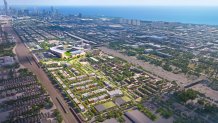
A firm just released shiny new renderings of what a new Chicago White Sox stadium at "The 78" in the South Loop could look like. But what could their current home look like if they move?
Originally reported exclusively from WGN's Tahman Bradley, the conceptual renderings are from the firm Related Midwest. The firm also released a "Project Impact" plan, which lays out expected benefits for the city of Chicago.
The plan projects five million annual visitors, a $9 billion investment in Chicago, $4 billion stabilized annual economic impact, 32,000 jobs, 1,000 affordable units, $200 million annual tax revenue, 10+ acres of space for the community and 1,300 residential units.
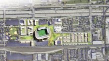
What could Bridgeport look like if the stadium moves?
Though Related Midwest does not own the land at the team's current home at 35th and Shields, the group also released conceptual renderings of the area, "understanding there would a robust community process to determine the best use for this land."


Feeling out of the loop? We'll catch you up on the Chicago news you need to know. Sign up for the weekly Chicago Catch-Up newsletter here.
Where could the new Chicago White Sox stadium be located?
The park would be located in "The 78," an area located in Chicago's South Loop with a name paying homage to the city's 77 official community areas, with the development serving as the city's unofficial 78th neighborhood.
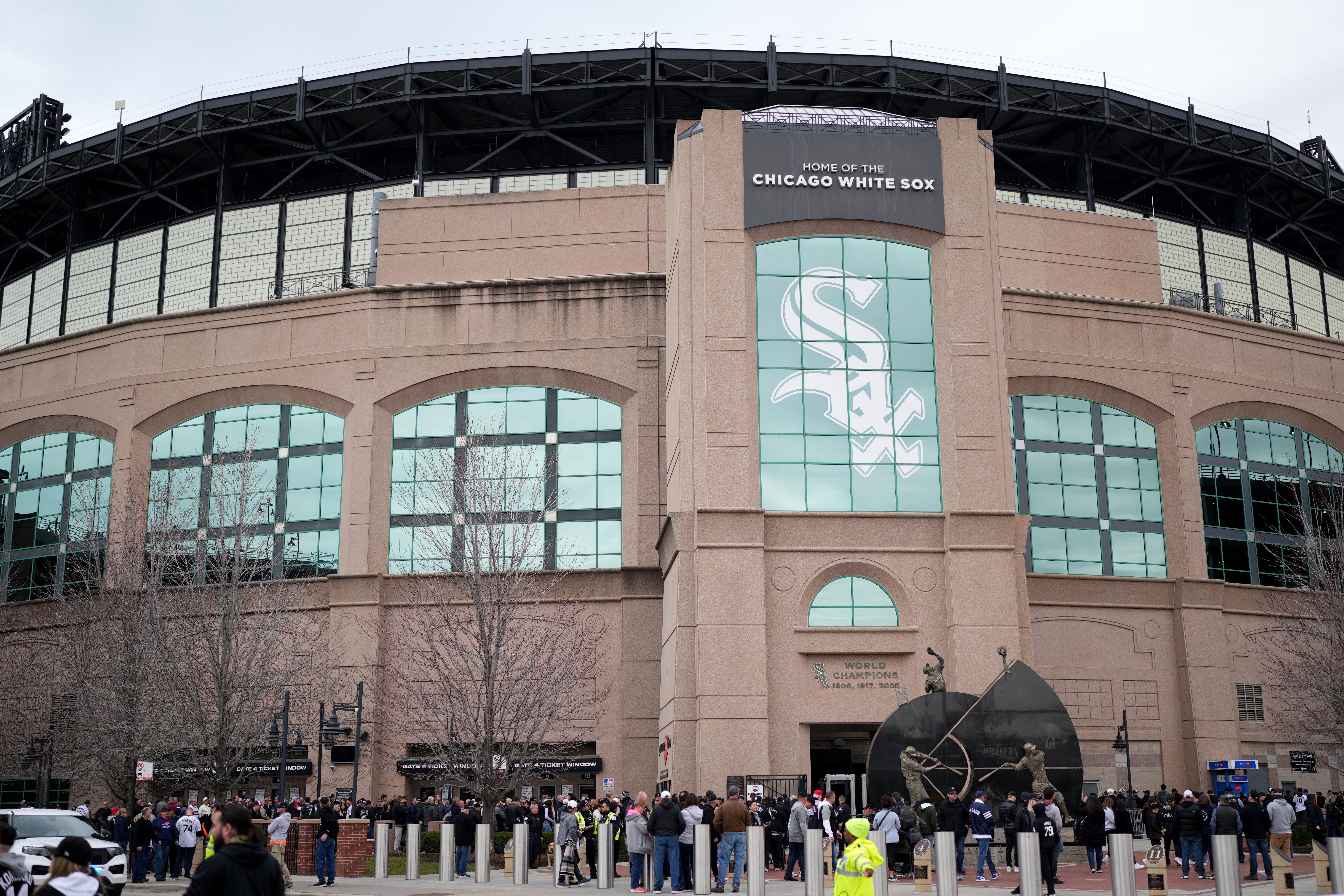
A report from the Chicago Sun-Times last month stated that the Chicago White Sox are considering constructing a new stadium on the plot of land, with the move taking place after the team's lease at Guaranteed Rate Field expires following the 2029 season.
What could the new Chicago White Sox stadium at "The 78" look like?
A move to "The 78" would see the White Sox leave their longtime neighborhood for the first time, moving the club to a plot of land in the South Loop bordered by Roosevelt Road on the north, the Chicago River to the west, Clark Street to the east and train tracks near Ping Tom Park to the south. Wells Street would run through the planned development.
The area would feature considerable public transit access, with three CTA lines stopping right at Roosevelt and State Street, just a couple of blocks east of the property: the Red, Green and Orange Lines.
Several bus lines also provide close access to the area: the 3, 4, 12, 18, 24, 29, 62, 130, 146 and 157 lines. For fans who want a ride down the river, there is also a water taxi stop at Ping Tom Park.
Here's a sneak peek of the renderings released by Related Midwest: