
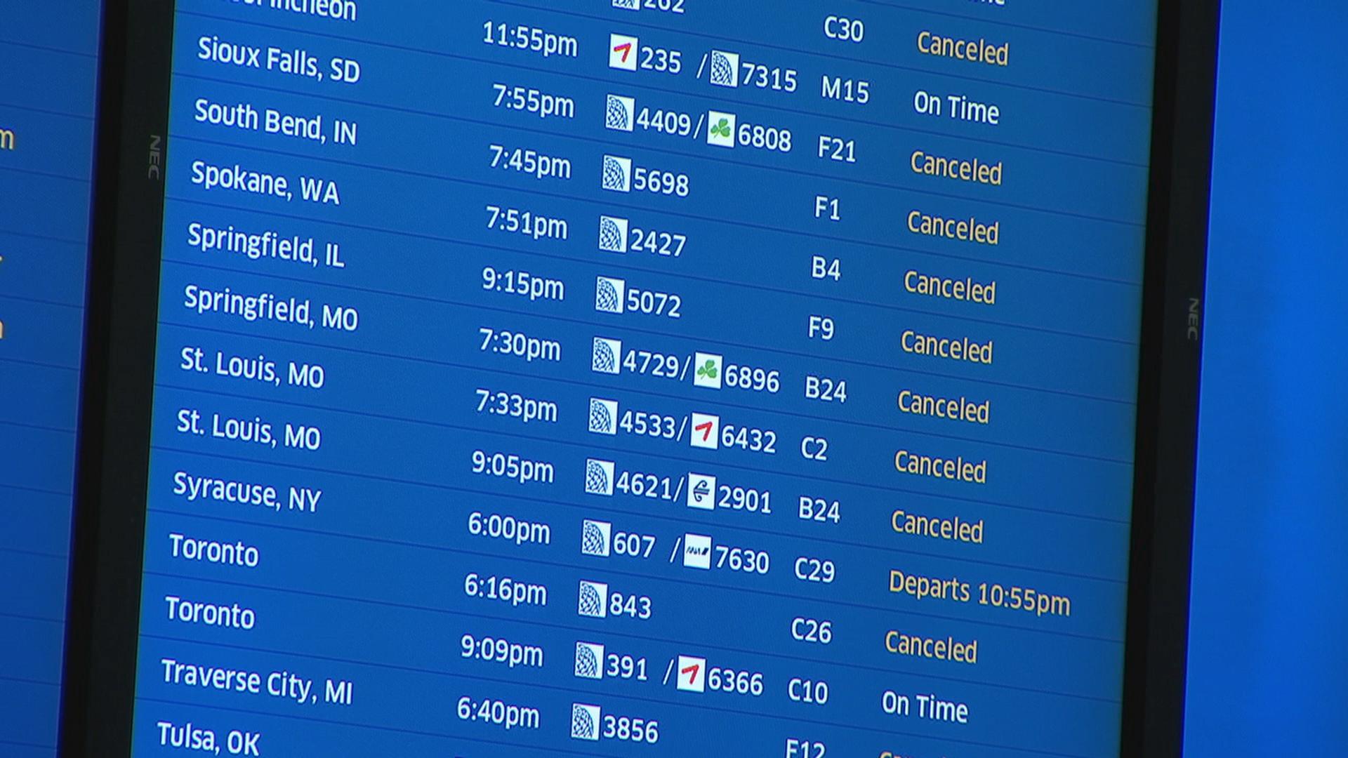
Chicago's spring-like weather is set to continue Thursday, as a system that moved in overnight from the southwest has already brought widespread, heavy rain and fog to the area, creating wet and potentially hazardous conditions for the morning commute.
Additionally, a wind advisory the south and southeast set to bring wind gusts of up to 50 miles per hour will go into effect at 8 a.m., adding to travel concerns across the area.
Here's a breakdown from the NBC 5 Storm Team of what to expect.
Thursday Morning
The Thursday morning commute is expected to be wet, foggy and breezy, as bands of widespread, heavy rain are expected to continue throughout the morning. Low visibility and ponding on roads is possible, leading to potentially hazardous driving conditions ripe for hydroplaning, the National Weather Service says.
According to the NBC 5 Storm Team, heavier rain pockets will move to north as the morning progresses.
And though some rain is expected to taper off at times, strong winds will remain.
Local

According to the NWS, a wind advisory will go into effect at 8 a.m. Thursday for Grundy and Kankakee counties, as well as southern Will County. All of northern Indiana, including Lake, Porter, LaPorte, Newton and Jasper will also be affected.
While sustained winds of 30-to-35 miles per hour are possible throughout the Chicago area, the strongest gusts will likely occur in the advised areas, with gusts in excess of 50 miles per hour possible. According to the NWS, the damaging winds could be strong enough to down tree limbs and cause scattered power outages.
Feeling out of the loop? We'll catch you up on the Chicago news you need to know. Sign up for the weekly Chicago Catch-Up newsletter here.
Thursday Midday
Winds will begin to shift out of the south, though they will still maintain their ferocity, with sustained speeds of 30-to-40 miles per hour in areas covered by the wind advisory.
Gusts will continue to be strong, occasionally surging toward 50 miles per hour in some parts.
Rain will also build into the southern suburbs and into northwest Indiana around midday, but the likelihood of thunderstorms will slowly begin to diminish as the day progresses.
However, beginning midday, some precipitation to the northwest will potentially transition from rain to snow.
Thursday Afternoon
Rain continues to turn to mixed precipitation and snow in the northwestern and western suburbs, with wet snow possible in areas around Rockford, Woodstock, and other parts of northwestern Illinois.
The city’s southern suburbs could still see rain, but fierce winds will be the predominant story as the day goes on, according to forecast models.
The good news: temperatures will remain above average, with a high of 44 degrees expected. However, those temperatures will drop by Friday, as the front moves out of the area.
Thursday Evening
Wind gusts in excess of 40 miles per hour will still be possible for most of the area, with areas south of Interstate 80 seeing the worst of the dangerous conditions.
Wind speeds should begin to diminish late into the evening, with the advisory ending after dark, according to the National Weather Service.
