
El Niño has been well-advertised this winter, especially after we had the fourth-warmest month of December on record (also tied for the 14th lowest snow total with only 1.2 inches).
It is the largest contributing factor in determining winter outlooks in the U.S., but there are some caveats, and even though this is currently the 4th strongest El Niño in the last 50 years, our NBC 5 meteorologists, including myself, have mentioned we could still get a share of winter storms this season.
So how did we get stuck with negative-30-degree wind chills and several rounds of snow this week?
There are other contributing factors in the atmosphere, such as cycles of higher and lower air pressure in certain regions that can disrupt the jet stream. These are called "oscillations" and can essentially be an override button to our mild and dry winter.
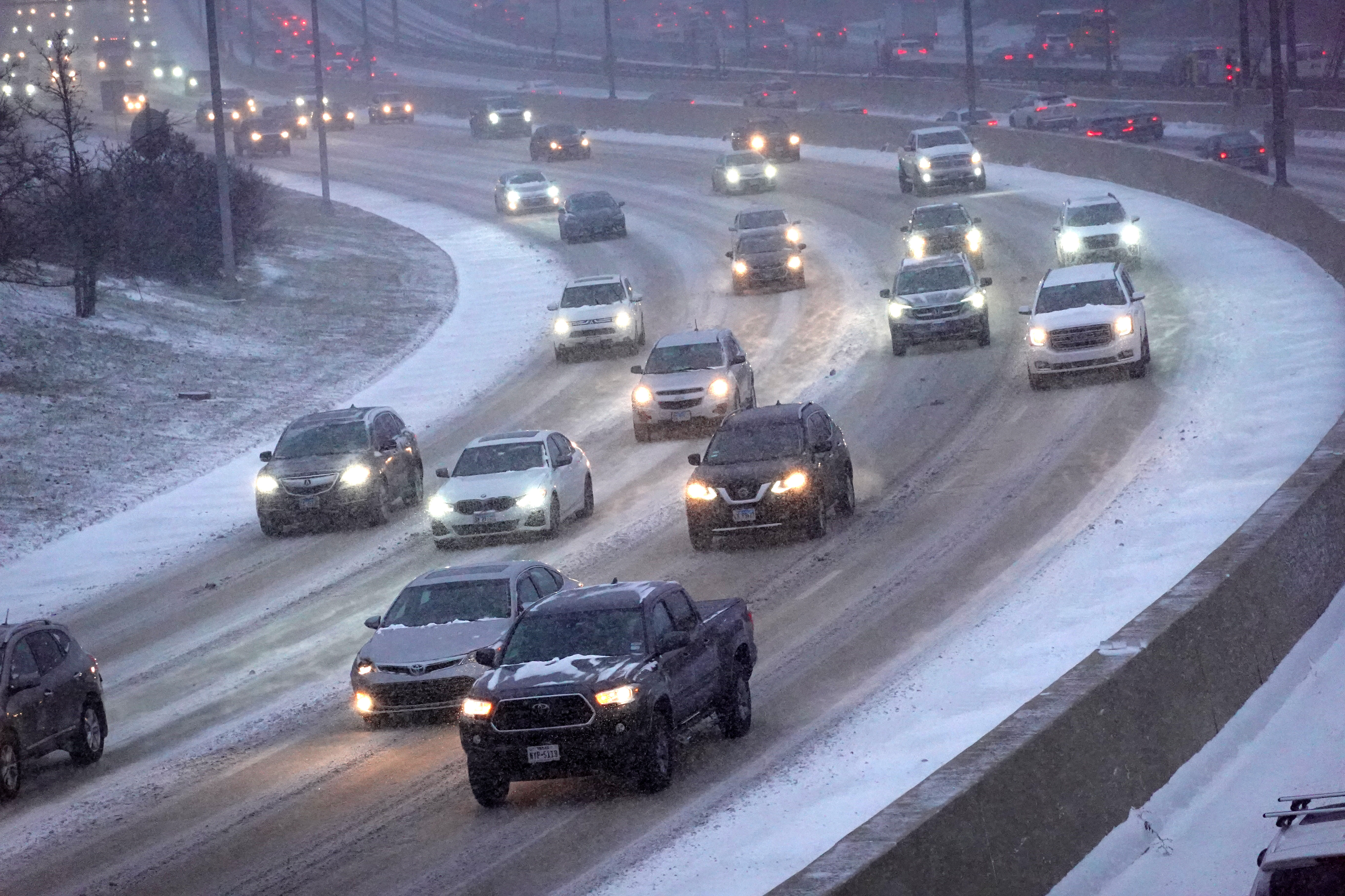
The Arctic Oscillation (AO) is the circulation of air north of the polar jet stream around the north pole. When the AO is in a positive phase, the air stays bottled up to our north. When the AO shifts to a negative phase, it can create larger dips and ridges in the jet stream, opening the door for arctic air to spill south.
There are a lot of intricacies in the atmosphere, oscillations and El Niño, and all of these features interact and affect each other.
The Artic Oscillation is forecast to reverse back to a positive phase in the coming weeks, which means we could revert back to the mild winter we’ve been having.
El Niño is expected to continue until March or April before transitioning to ENSO neutral, and likely La Niña in the seasons ahead.
Feeling out of the loop? We'll catch you up on the Chicago news you need to know. Sign up for the weekly Chicago Catch-Up newsletter here.
