

Sunday has the potential to be a strange weather day in the Chicago area, with the northern suburbs potentially dealing with a bit of snow in the morning and the southern suburbs facing the threat of severe weather in the evening.
For most of the area, the day will get off to a dry, albeit chilly, start, with temperatures in the mid-30s through the morning hours.
A rogue band of snow showers, spun off of a low-pressure system working its way across the Great Plains, could possibly impact parts of the western and northern suburbs in the morning hours, but accumulations will in all likelihood be on the light-to-trace side, according to forecast models.
That snow will work its way out of the area by the noon hour, and after several hours of dry conditions, the rest of the low-pressure system will arrive in force, bringing with it the threat of showers and thunderstorms.
Feeling out of the loop? We'll catch you up on the Chicago news you need to know. Sign up for the weekly Chicago Catch-Up newsletter here.
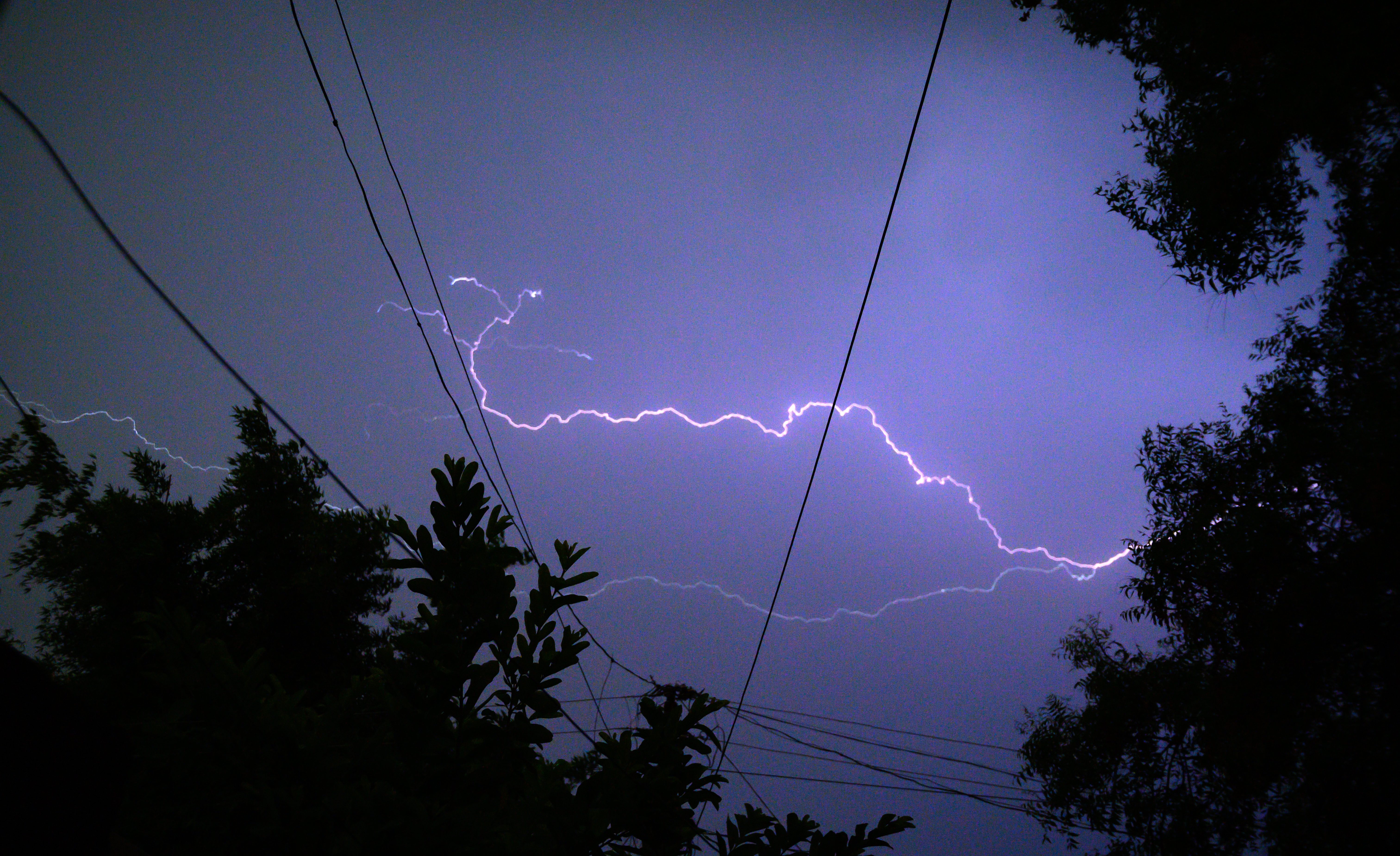
Some storms could potentially be severe, with the main threats currently damaging winds in excess of 60 miles per hour, as well as heavy rain that could cause localized flooding.
An isolated tornado threat does exist with these storms, according to forecast models.
Parts of the Chicago area that are south of Interstate 80, including LaSalle, Grundy, Will, and Kankakee counties in Illinois, are at a “marginal threat” of severe weather, according to the Storm Prediction Center. Parts of northwest Indiana, including Lake, Porter, Jasper and Newton counties, are also listed in that category.
Local

Be sure to download the NBC Chicago app for the latest forecasts and news alerts. You can also watch our newscasts on the station’s 24/7 Streaming Channel, or on the NBC 5 News on television at 8 and 10 a.m., as well as 5 p.m.
