
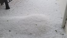
As severe thunderstorms, damaging winds and heavy hail sweep across the Chicago area, images and videos on social media captured the latest weather.
Take a look:
Feeling out of the loop? We'll catch you up on the Chicago news you need to know. Sign up for the weekly Chicago Catch-Up newsletter here.

Nearly all of the Chicago area is under the slight risk category for severe storms.
A severe thunderstorm warning was issued Tuesday afternoon for much of northern Illinois and a watch for parts of northwest Indiana. The watch remains in effect until 9 p.m. CT.
Just before noon Tuesday, a severe thunderstorm watch was issued for portions of southeast Wisconsin, including Kenosha County. That watch remains in effect until 6 p.m. CT, according to NWS.
A tornado warning was also issued for parts of Will County until 3:30 p.m., with a storm capable of producing a tornado moving through Joliet, Ingalls Park and New Lenox.
A new severe thunderstorm warning has been issued for parts of five counties in northeastern Illinois, with wind gusts in excess of 70 miles per hour possible.
The warning includes eastern LaSalle County, southeastern Kendall County, all of Grundy and Will counties, and central Kankakee County, and will run until 4 p.m.
The storms, located on a line extending from eight miles to the northwest of Minooka to near Morris and Seneca, are moving east at 55 miles per hour.
Just after 1:30 p.m. people in Kane, DeKalb and northwest Cook counties were urged to go inside.
People and animals outdoors could be injured by falling hail, and wind damage is possible to structures.
"People and animals outdoors will be injured," the NWS said. "Expect hail damage to roofs, siding, windows and vehicles."
A severe thunderstorm warning also was issued for Kendall northern LaSalle and northern Grundy counties until 3:15 p.m.
According to the National Weather Service, a severe storm capable of producing 60 mph winds and quarter-sized hail was spotted near Poplar Grove and was moving east at 50 mph.
The biggest threat with the storms will likely be damaging, straight-line winds and hail, though the risk of an isolated tornado cannot be ruled out.
"Hail damage to vehicles is expected," the NWS said.
The highest threat for severe conditions will sit east of the Interstate 55 corridor, across northeast Illinois and northwest Indiana, the National Weather Service states.
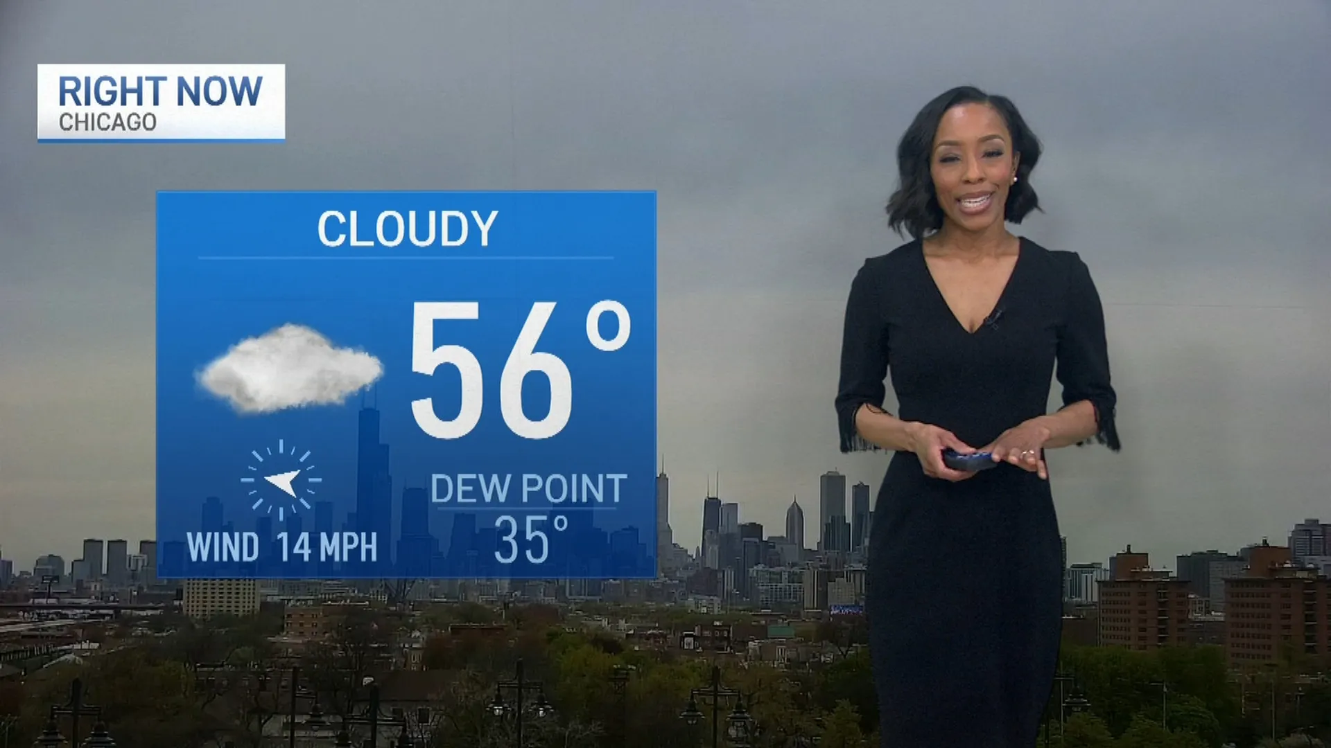
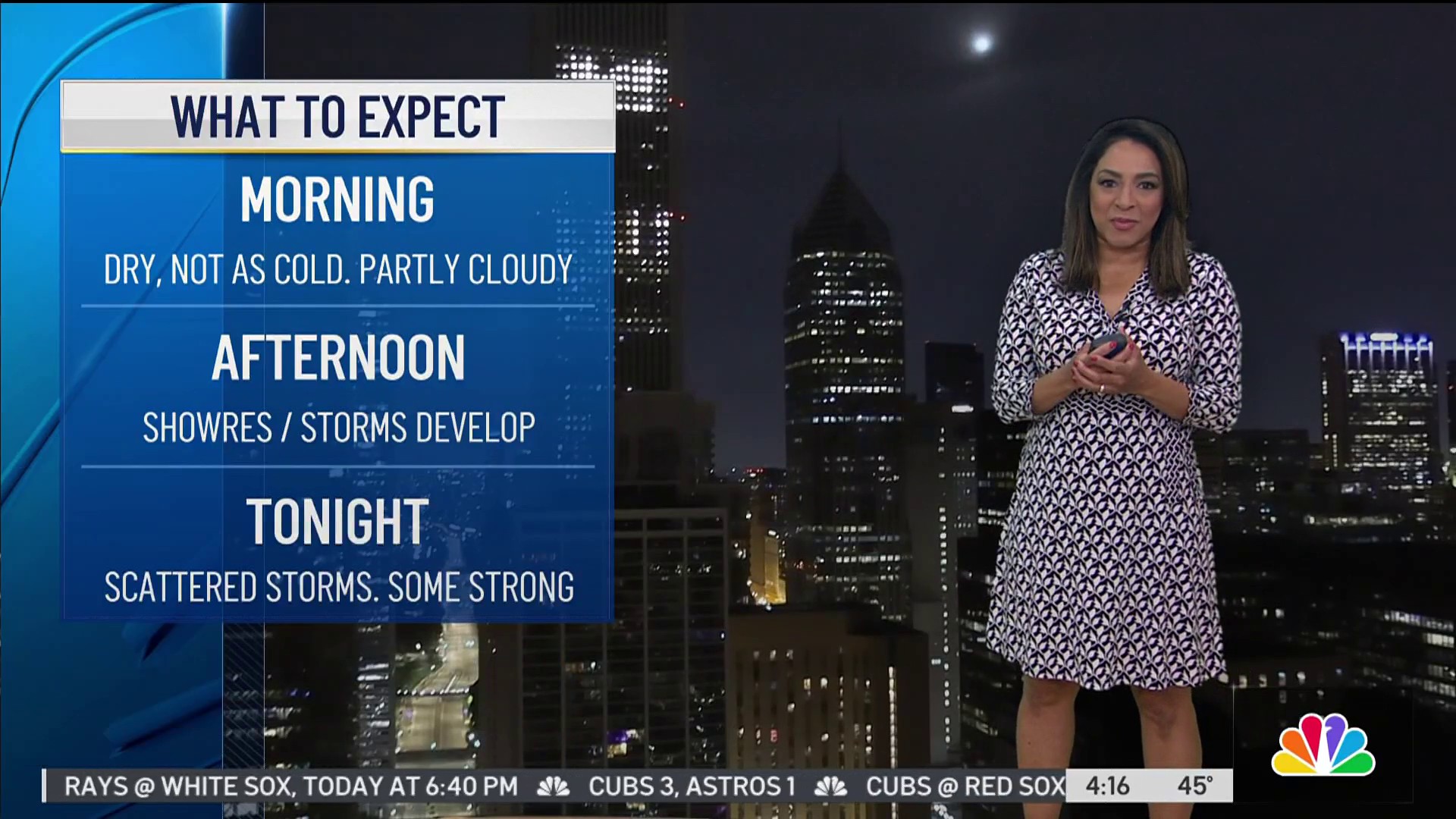
Though the day started with mostly sunny skies for the morning hours and warming temperatures, winds gradually increased, reaching up to 40 mph.
Clouds were expected to move in ahead of a cold front that was set to bring scattered showers and storms across northern counties around 2 p.m., according to Storm Team Meteorologist Alicia Roman. Those storms will inch toward the city, arriving around 4 p.m., then continuing into southern counties and northwest Indiana around 6 p.m.
The storms are expected to end by the early evening hours Tuesday as temperatures continue to cool.
Though highs are expected to reach into the upper 80s Tuesday, by Wednesday, conditions drop into the mid 70s, where they look to stay for the remainder of the work week alongside dry conditions.
Severe storms across the Chicago area have caused over 200 flights to be canceled at O'Hare International Airport and Midway Airport, according to officials.
As of Tuesday afternoon, the Chicago Department of Aviation recorded 127 flights canceled at O'Hare with average delays up to 27 minutes, as well as 83 cancelations at Midway with delays less than 15 minutes.
