

With a winter storm that brought snow and gusty winds alongside a spell of dangerously cold temperatures, many residents are wondering when the brutal cold may let up.
While the Chicago area is likely to see significant changes in weather within the next week, Christmas Eve and Christmas will still be brutally cold.
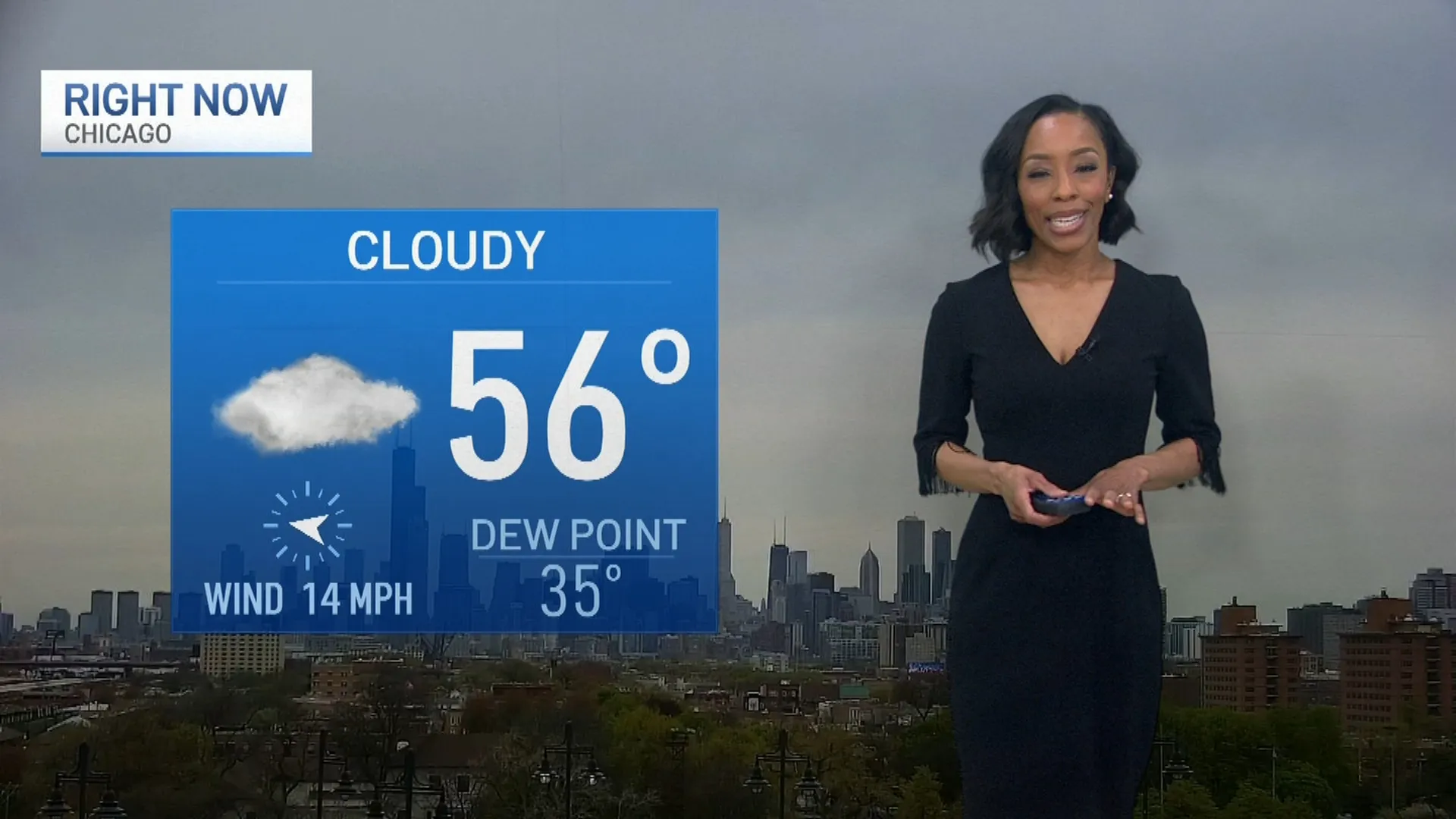
With temps staying below zero Friday, bringing wind chills to near -40 degrees, strong winds and continued cold will keep things bitter for both Saturday and Sunday. Air temperatures will struggle to break 10 degrees Fahrenheit both days, making for one of the chilliest Christmases on record in the Chicago area. With stronger winds persisting, the feels like temperatures will remain significantly colder and also continue the threat of blowing snow.
But after Monday, that all changes.
Feeling out of the loop? We'll catch you up on the Chicago news you need to know. Sign up for the weekly Chicago Catch-Up newsletter here.
If temps rise to near 50 degrees, that could mark a 90-degree swing in feels-like temperatures a matter of days.
Current forecasts show temperatures in the mid-to-upper 40s for much of the latter half of next week, with rain possibly accompanying the warmer temperatures.
As for Christmas and the immediate aftermath, a clipper system could also move through the region late Sunday night and into Monday, bringing another chance of accumulating snow and possibly hazardous travel conditions, according to the National Weather Service.
The coldest Christmas on record took place on Dec. 25, 1983, when the high temperature was a staggering minus-5 degrees at O’Hare International Airport.
The second-coldest occurred just two years later in 1985, when the high temperature was 2 degrees.
Needless to say, this Christmas will be a significant departure from the last few years. In 2019, Chicago recorded a high temperature of 57 degrees on Christmas Day, making it the second-warmest Christmas on record. Last winter, the high temperature on Christmas was 55 degrees, the fifth-warmest on record.
