
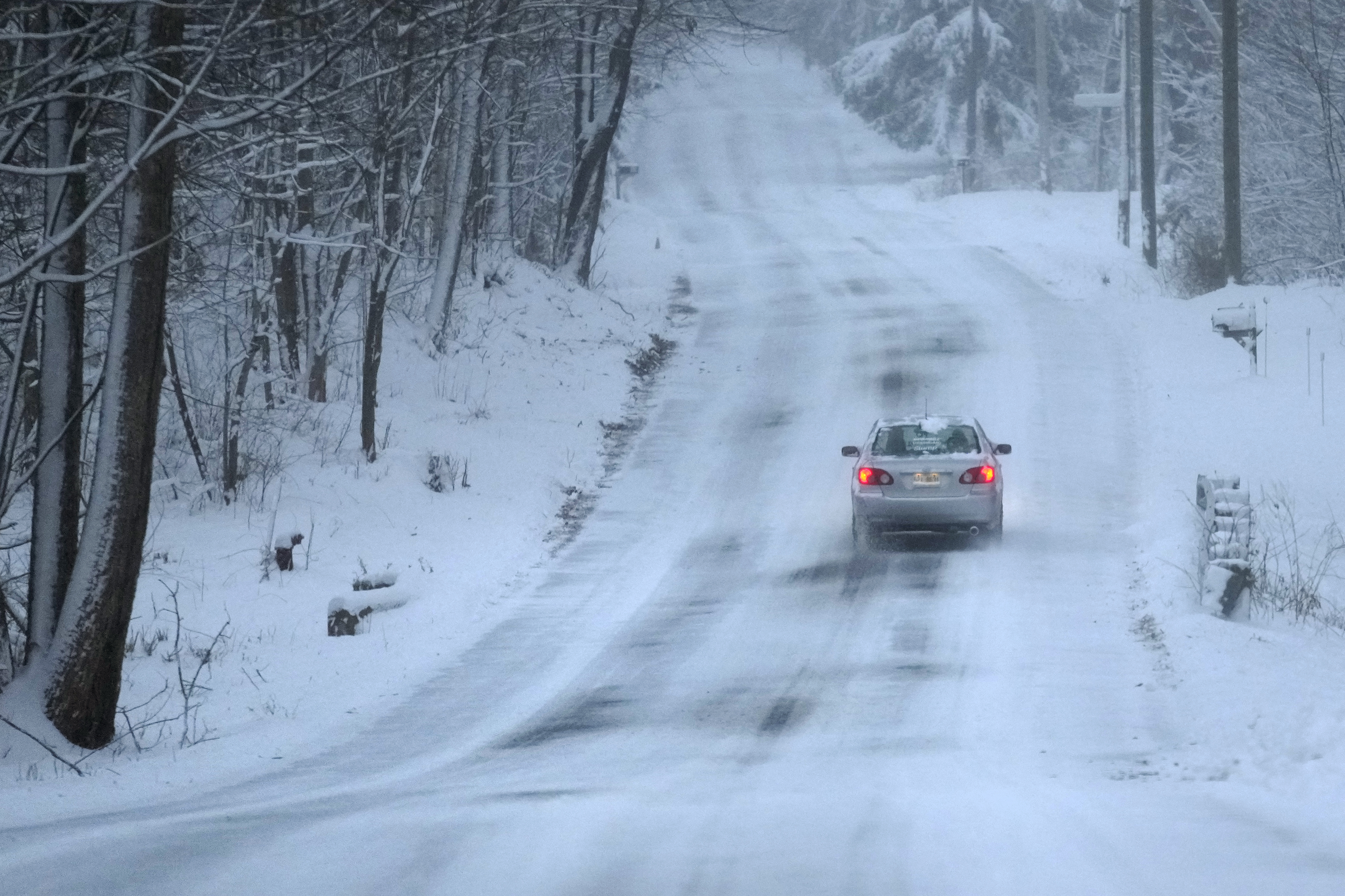
It’s been quite a while since the Chicago area had to cope with a winter storm, and a big one could impact the region in coming days.
The storm is expected to arrive in two waves, with snow impacting the southern suburbs on Tuesday morning and then a sharp divide between rain and snow developing on Tuesday afternoon, with the western suburbs getting hit hard with snow and southern suburbs and northwest Indiana potentially seeing rain.
Here is the latest timeline, provided by NBC 5 Storm Team Meteorologist Kevin Jeanes.
I’m going to divide up this forecast into 2 parts; Monday night and during the day Tuesday. We may see some snow melt and compaction of snow on the ground since the snow will be wet and heavy. So forecast models may reflect higher amounts than what we end up measuring.
Monday Night/Tuesday Morning
Snow will move in from the southwest Monday night, likely between the hours of 8 p.m. and midnight.
The Chicago area could have a few bursts of heavy snowfall overnight, leading to 2-to-4 inches of snow possible in areas south of I-88.
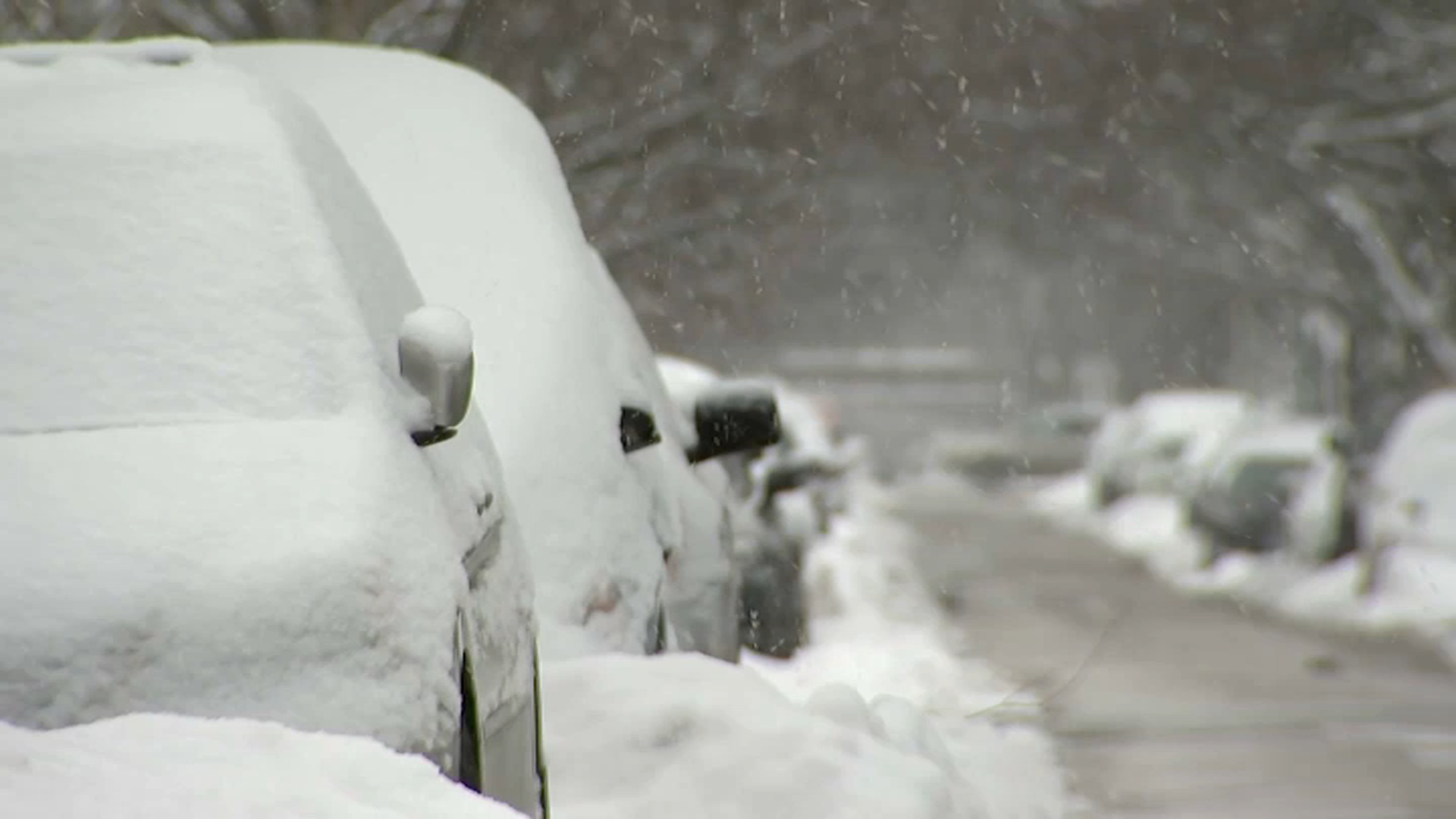
Total accumulations of 1-to-3 inches are still possible in the northern suburbs near the Wisconsin border by 7 a.m. Tuesday.
In Chicago, areas south of the city, and northwest Indiana, we’ll see a quick transition from snow to rain Tuesday morning.
Feeling out of the loop? We'll catch you up on the Chicago news you need to know. Sign up for the weekly Chicago Catch-Up newsletter here.
Snow impacts will be significantly less in these areas with temperatures above freezing during the day. It will likely end up as a cold and rainy day in Indiana and most of Cook County.

Late Tuesday Morning/Tuesday Afternoon
Northern and western suburbs may continue to receive a heavy, wet snow through the day Tuesday, leading to slick driving conditions.
An additional 2-to-4 inches of snow will be possible in those areas.
Some short range models are also indicating drier air working its way in Tuesday afternoon. It’s not guaranteed, but this would mean lighter rain in the warmer areas (southeast) and lighter snowfall in the northern and western suburbs.
Tuesday Night
The wind cranks up Tuesday night, and areas that switched to rain will switch back to snow. West or northwest gusts may be over 30 miles per hour at times through the night.
The snow exits early Wednesday with lows just below freezing in the upper 20s. Untreated surfaces could refreeze as temperatures fall.

The Summary
The rain/snow line could shift farther west depending on how this storm develops across the Great Plains over the next 24 hours.
Either way, it still looks like the bigger impacts will be in the northern and western suburbs. Cook County and areas south and east will see mostly rain and some slushy snow during the day, but some roads will still be slick in the morning and again at night.
As a final reminder, residents should be careful shoveling and removing snow, as it’s going to be wet and heavy.
