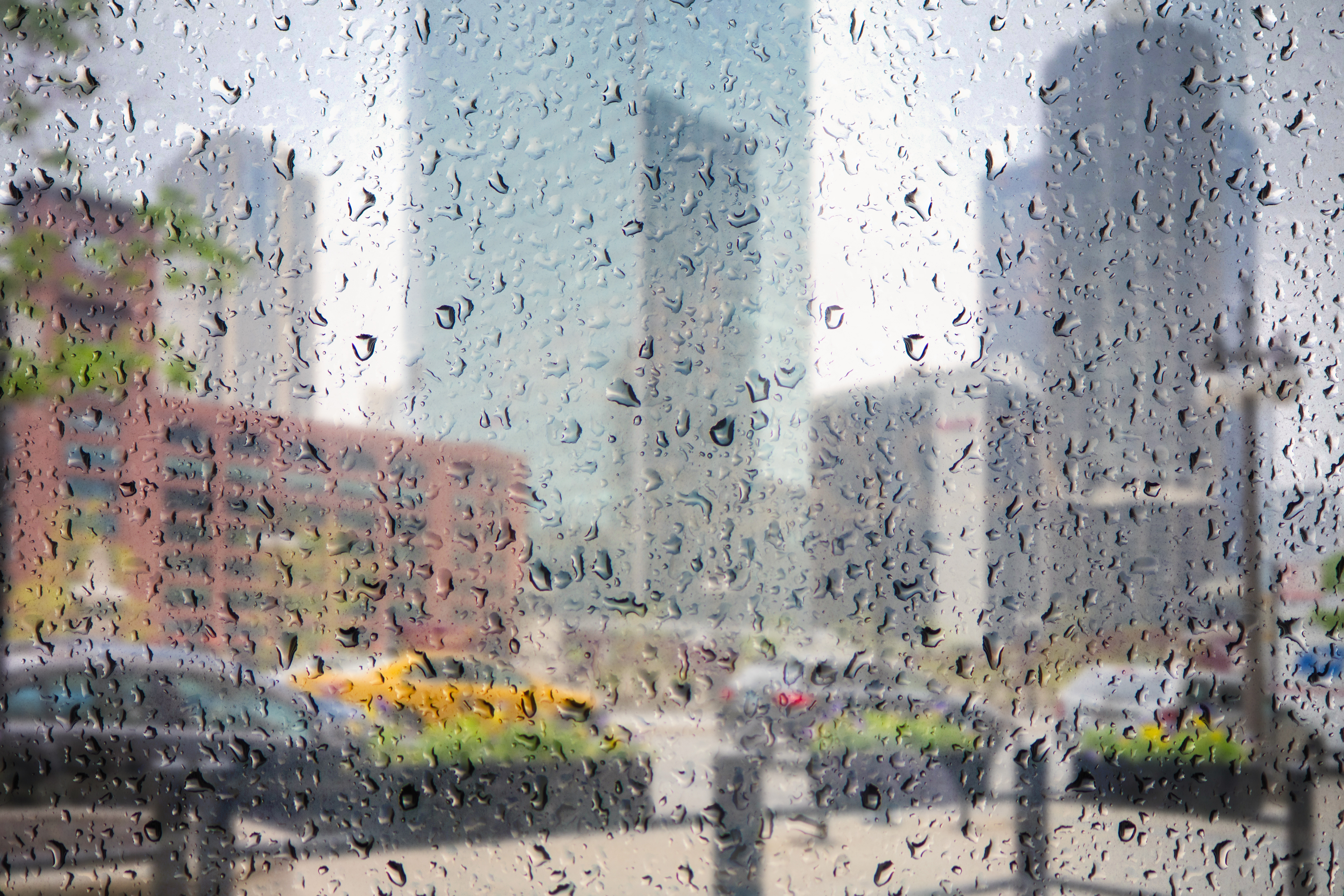
The National Weather Service has canceled a winter weather advisory for Porter and Jasper counties in northwest Indiana, as the bulk of the lake-effect snow that was expected to hit the region has moved off to the east.
The advisory went into effect at 6 p.m., but was canceled just before 8 p.m. as the bulk of the weather system began to hit in areas to the east of the area.
St. Joseph County is under a winter weather advisory through 1 a.m. Tuesday because of snow and windy conditions, according to NWS officials.
Even though Porter and Jasper counties are no longer under an advisory, slushy show and small accumulations are still possible in those areas, according to officials.
Feeling out of the loop? We'll catch you up on the Chicago news you need to know. Sign up for the weekly Chicago Catch-Up newsletter here.
According to the NWS, an afternoon lake effect mix of rain and snow could create some flurries in other parts of the Chicago area as well.
Already Monday morning, the NWS reported some of the first flurries of the season.
Local
For those concerned about accumulating snow, however, a combination of above-freezing temperatures and warm ground temperatures should ensure that no accumulation takes place in the Chicago area.
The NBC Storm Team 5 said Monday will be breezy and cold, with below-average temperatures in the low 40s, and wind gusts up to 35 miles per hour.
However, the wind chill will make things seem closer to winter, creating a day that feels more like temperatures in the 20s and 30s. And, some areas may even see their first snow flurries of the season.
According to the NWS, the average date Chicago sees its first traces of snow typically falls around Oct. 31.
The earliest first trace of snowfall that has ever been recorded in the city occurred on Sept. 25, according to NWS, and the latest occurred on Dec. 5, 1999.
If trace snowfall is detected at O’Hare International Airport on Monday, it would mean that the city is two weeks ahead of “schedule” for the first flakes of the season.
In 2021 however, Chicago didn’t see its first trace snowfall until Nov. 12. And, according to records, the first measurable snowfall -- defined by NWS as one-tenth of an inch of snow or more -- didn't occur until Dec. 28, 2021, the latest first measurable snowfall in recorded history.
For the latest details, continue to visit the NBC 5 app throughout the day on Monday.


