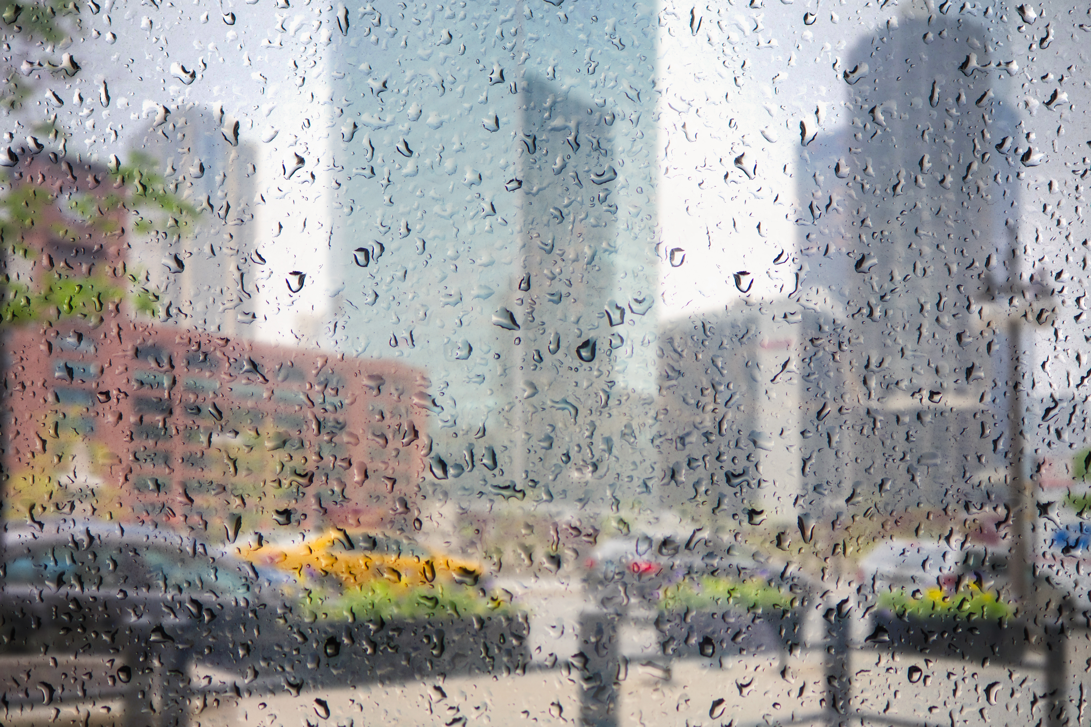
Another round of severe weather took aim at parts of the Chicago area Sunday as some communities approach two weeks of major flooding.
Your Storm Pictures: July 21
The storm system hit counties throughout northeastern Illinois Sunday afternoon, with 60 mph wind gusts and quarter size hail reported near suburban Belvidere around 3:45 p.m.
The storms moved slowly southeast at around 25 to 30 mph, hitting areas from Crystal Lake to Chicago to Manteno [[434281383, C]]
The rainfall has the potential to agitate the Des Plaines and Fox rivers, compounding concerns as several areas continue to battle record flooding.
The Fox River (with a flood stage of 9.5 feet) was at 13 feet near Algonquin on Saturday following heavy rainfall from overnight storms. It had crested Thursday at around 12.82 feet, according to the village of Algonquin, where officials continue to monitor water levels as volunteers sandbag the area. [[434038743, C]]
The Des Plaines River was at 18.26 feet near Des Plaines Saturday morning, six days after cresting at about 19.83 feet – nearly five feet about the 15 foot flood stage.
Local
Both rivers were expected to recede Sunday, though the entire Chicago area remains under a Flood Warning through at least the end of the weekend. [[434290393, C]]
Sunday’s storms look to be the last for the next few days, as cooler and drier air is expected to move in at night and for the start of the work week.


