
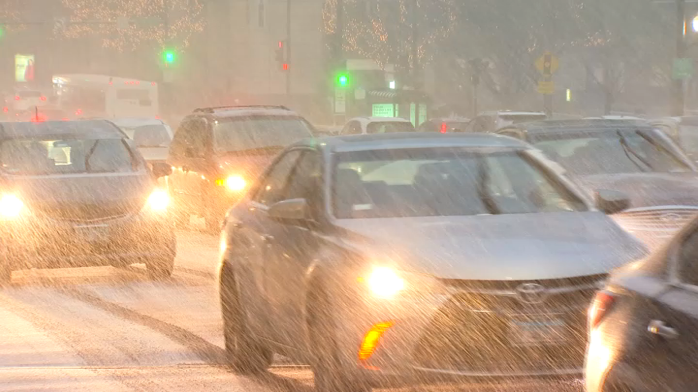
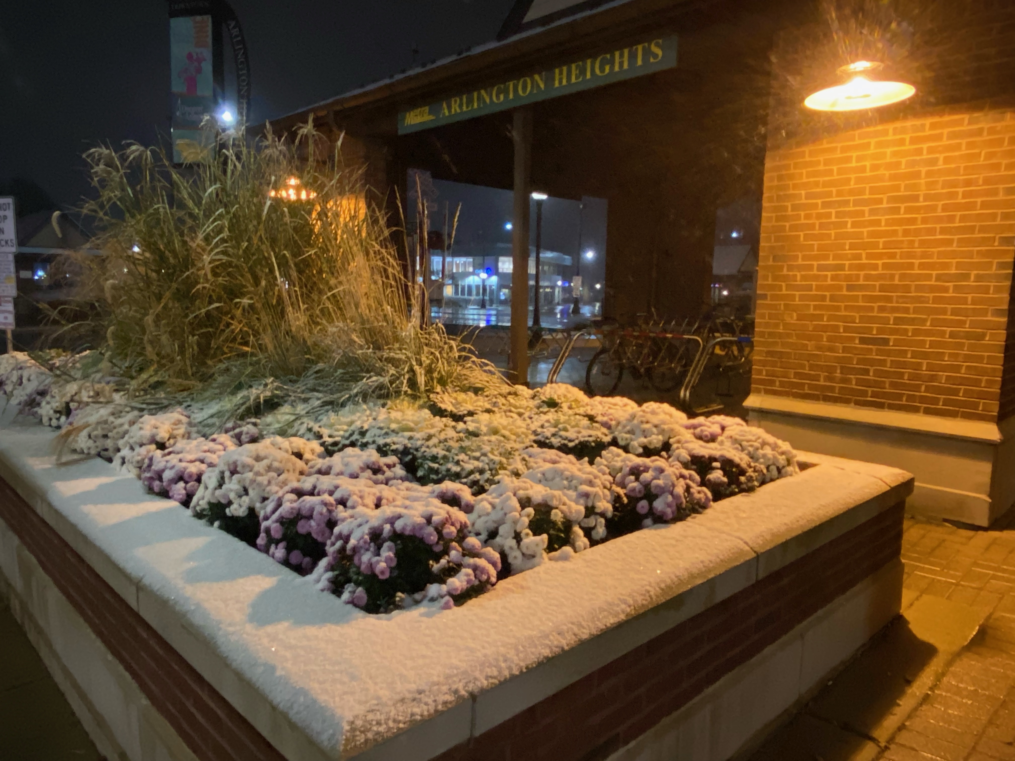
A winter weather went into effect at 6 a.m. Tuesday morning across the Chicago area, with 2-5 inches of snow expected to fall in some locations.
The storm will primarily impact the northern and western suburbs, but 1-to-3 inches of snow could fall in the southern suburbs as well, snarling the morning and evening commutes and causing travel headaches throughout the day.
You can track the arrival of the weather with our radar:
Feeling out of the loop? We'll catch you up on the Chicago news you need to know. Sign up for the weekly Chicago Catch-Up newsletter here.
Tracking Chicago's First Measurable Snowfall
When Does Chicago Typically See its First Snowfall?
According to the National Weather Service, the average date that Chicago typically sees its first measurable snowfall is Nov. 18.
O'Hare International Airport has seen two ends of extremes in recent years, with 2019's first measurable snowfall coming on Oct. 30, the seventh-earliest measurable snowfall in Chicago since 1967.
Read More: Chicago Could See a Snowier Winter Than Normal. See NOAA's New Predictions
Just last year, Chicago saw its latest first measurable snowfall of all-time, according to the National Weather Service. Snow did not fall at O'Hare Airport until Dec. 28, when 1.5 inches of snowfall were recorded.
The earliest snowfall record was set on Oct. 12, 2006, when 0.3 inches of snow fell at O'Hare.
Here's a look at when the city saw its first snowfall over the past 10 years, and how much snow fell:
- 2012: Dec. 20, 0.2 inches
- 2013: Nov. 11, 0.4 inches
- 2014: Oct. 31, 0.1 inches
- 2015: Nov. 20, 4.2 inches
- 2016: Dec. 4, 6.4 inches
- 2017: Nov. 10, 0.1 inches
- 2018: Nov. 9, 1 inch
- 2019: Oct. 30, 1.2 inches
- 2020: Nov. 24, 0.7 inches
- 2021: Dec. 28, 1.5 inches
