
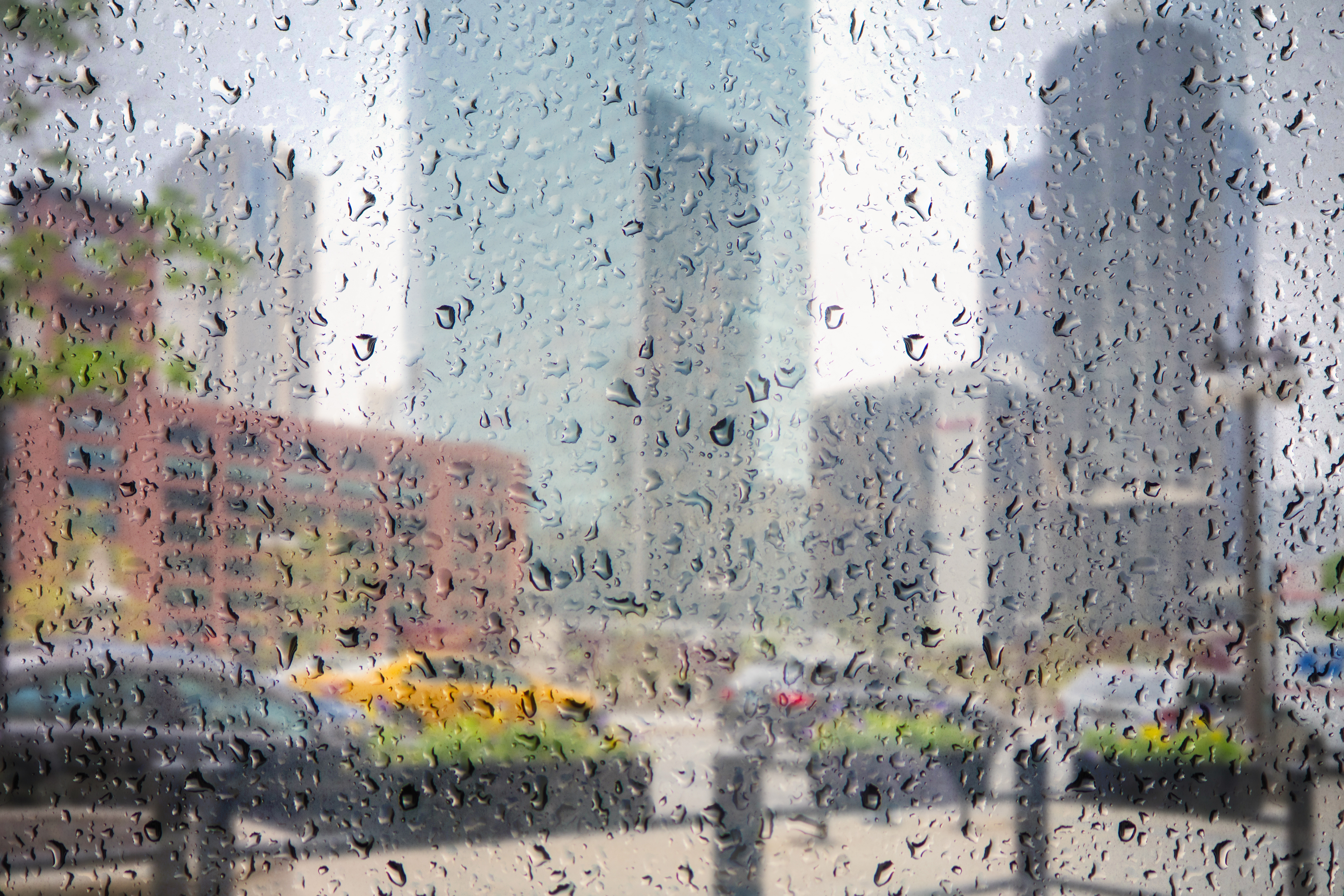
Chicago was spared but some northern suburbs saw strong winds and rain Wednesday night.
Branches and powerlines were down in Fox Lake and Wilmette saw heavy rainfall while power comapnies attempted to restore power.
After a hot and humid morning, scattered thunderstorms developed, mainly north of Interstate 80, during the late morning and early afternoon hours.
By noon, about a half-inch of rain had fallen in McHenry in 25 minutes.
Heading into the late afternoon and evening, widespread thunderstorms are expected to move across northern Illinois and into northwest Indiana.
The storms will likely bring with them heavy rain that could result in flooding and the potential for damaging winds up to 60 mph.
Some counties, including DeKalb, Winnebago, Boone, Ogle and Lee, are under a Flash Flood Watch beginning at 4 p.m. and continuing through the evening.
Local

The alert warns of rainfall rates of one to two inches per hour, some even higher.
A tropical air mass will keep conditions sweltering for the day as temperatures surge into the upper-80s and low-90s with heat index readings pushing well into the mid- to upper-90s. A few locations could reach near 100 degrees.
Conditions will stay mild and muggy overnight as the storms taper, with scattered showers linger into the morning hours.
But as a cold front slides south and east of Chicago, the chance for a few isolated storms remains through the afternoon. The area remains under a limited severe thunderstorm risk through the weekend, according to the National Weather Service.
Drier air will slowly filter in late Thursday as temps stay warm but humidity levels slowly drop.
Cooler and more comfortable conditions are set to arrive for the weekend.
