
Don’t be fooled by Sunday’s sunny skies and record-breaking temperatures – winter is still here and Mother Nature is about to remind us of that this week.
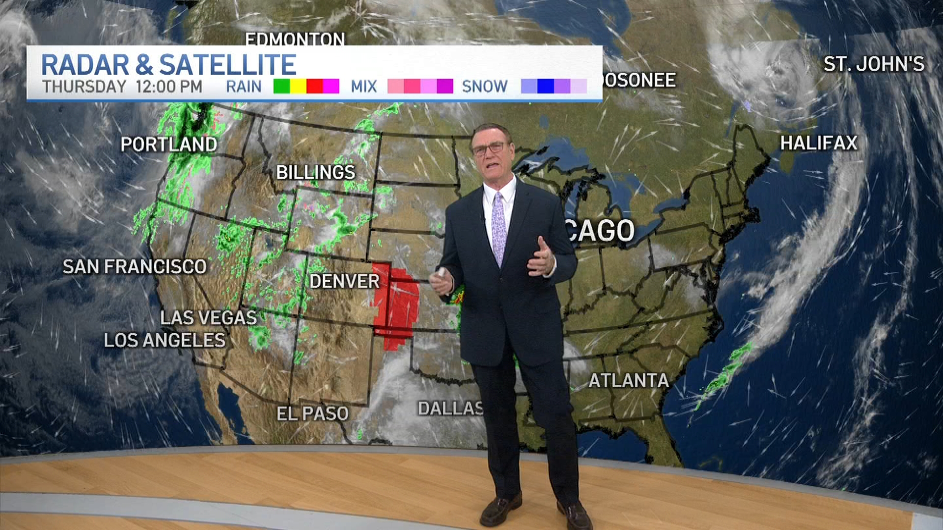
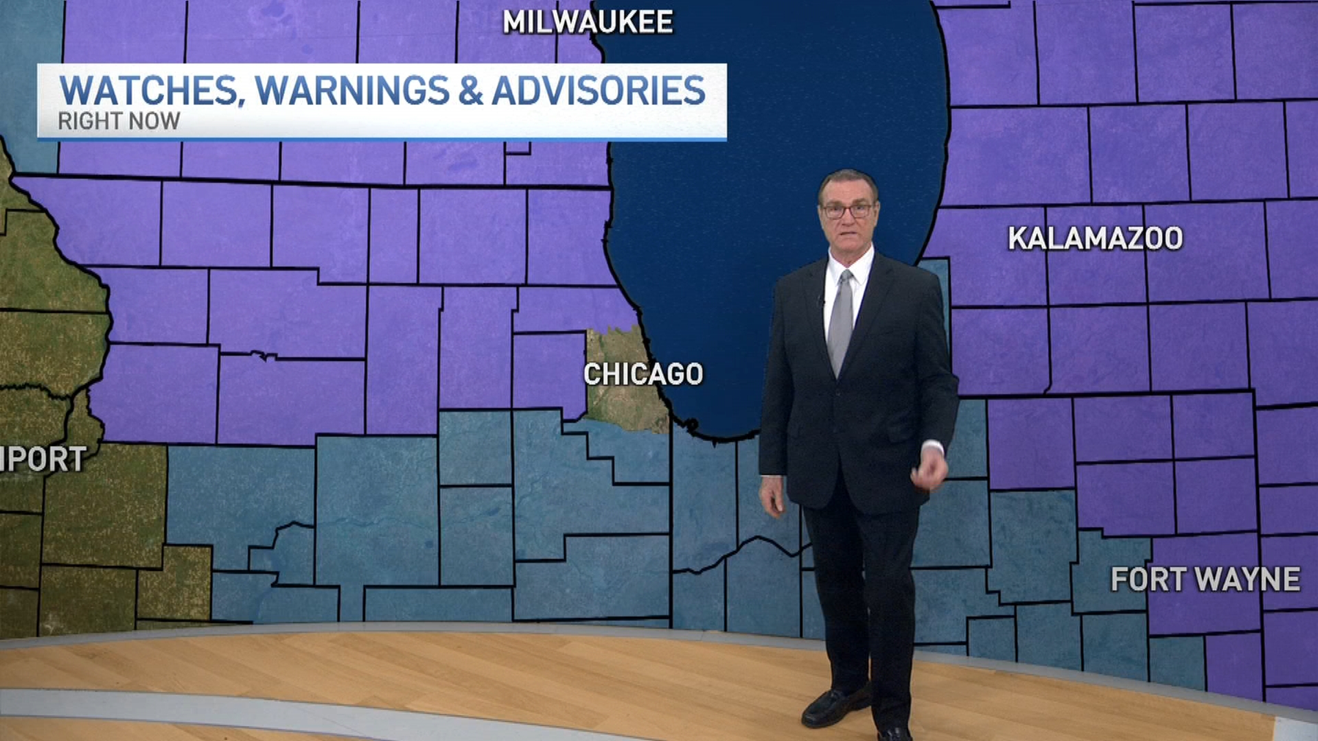
There’s a chance part of the Chicago area could see “plowable accumulating snowfall” late Wednesday and into Thursday, forecast models indicate.
Light snow could start developing in southern counties Wednesday afternoon before gradually spreading north across the rest of the metro area into the evening. The snow will continue into the overnight hours, growing more moderate with windy conditions.
Highs are expected to sit in the low- to mid-30s Wednesday.
Snow will likely continue during the morning hours Thursday before gradually tapering off, leaving several inches of accumulation behind, but where the highest totals will sit remains unclear.
Early predictions indicate the heaviest snow will likely stay in areas south of Chicago.
Lake effect snow showers will be possible on Friday as well, though it remains unclear how much snow this could amount to, if any.
Weather
Highs stay in the low- to mid-30s for the remainder of the week.
