
While the week may be starting off mild in the Chicago area so far, a large storm system is on the horizon and, depending on how it develops, it could mean a burst of winter weather for some.
According to the NBC 5 Storm Team, a mixed bag of weather is expected to round out the week, starting with the potential for rain and ice accumulation, particularly in northern locations, on Wednesday.
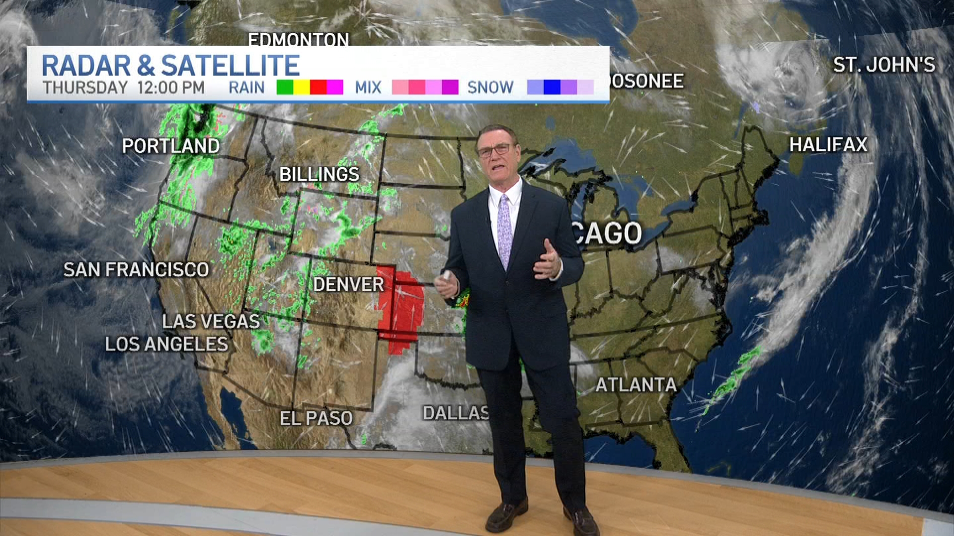
The National Weather Service reports "a large storm system will meander through the Great Lakes this week and present the threats of winter weather, heavy rain and possible flash flooding, and strong westerly winds."
While forecasts are still unfolding with the system, the biggest threats appear to be Wednesday afternoon into Thursday.
Feeling out of the loop? We'll catch you up on the Chicago news you need to know. Sign up for the weekly Chicago Catch-Up newsletter here.
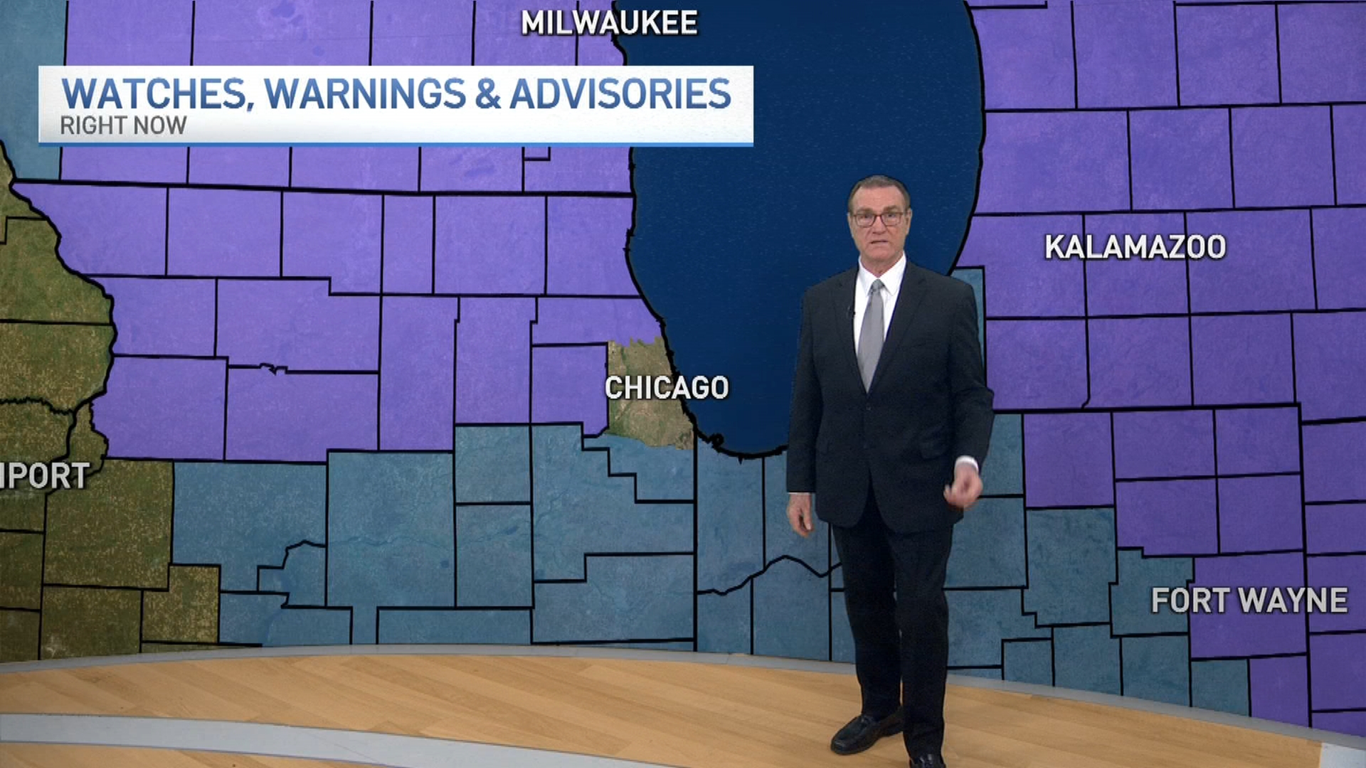
Heavy rain and possible flooding will be the biggest threats Wednesday afternoon and evening along and south of Interstate 55, but "significant ice accumulations" will be possible near the Illinois-Wisconsin border.
By Thursday, gusty winds could reach near 40 mph throughout the day.
Weather
Thursday looks to be mainly cloudy with a rain-snow mix possible during the early morning hours before temperature highs rise into the mid 40s.
By Friday, a major temperature drop is expected, with highs only reaching into the upper 20s.
