
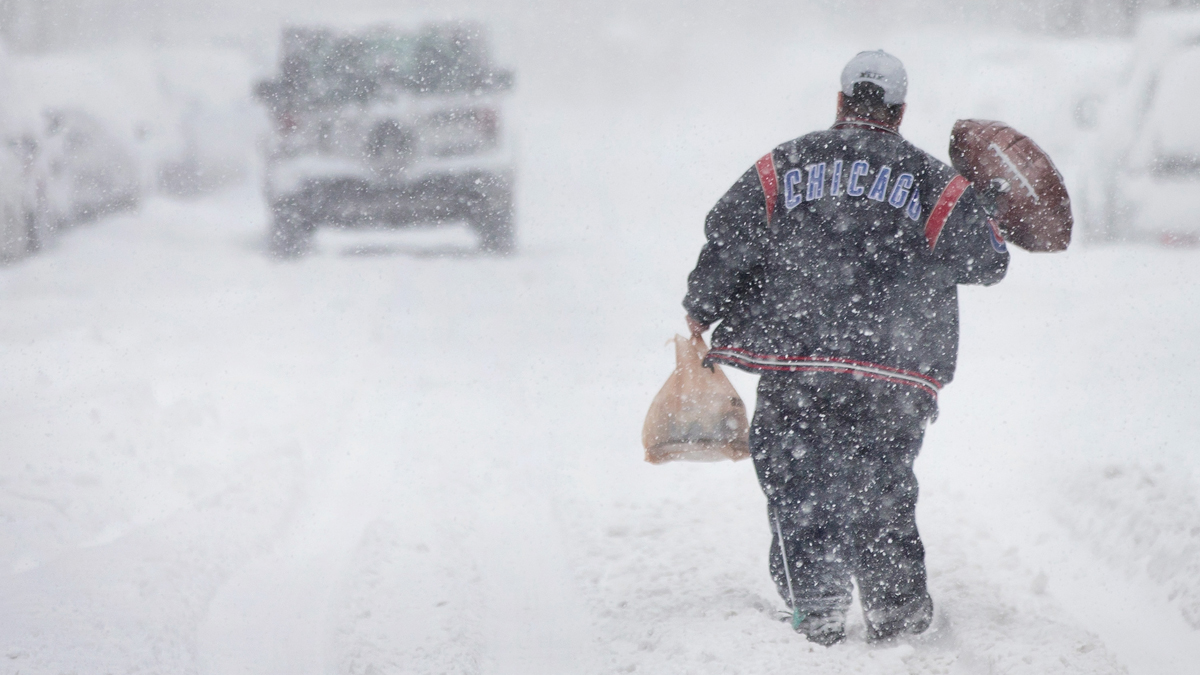
High wind gusts mixed with dangerous wind chills and measurable snowfall will make for a "triple threat" in a major winter system set to hit the Chicago area starting Thursday.
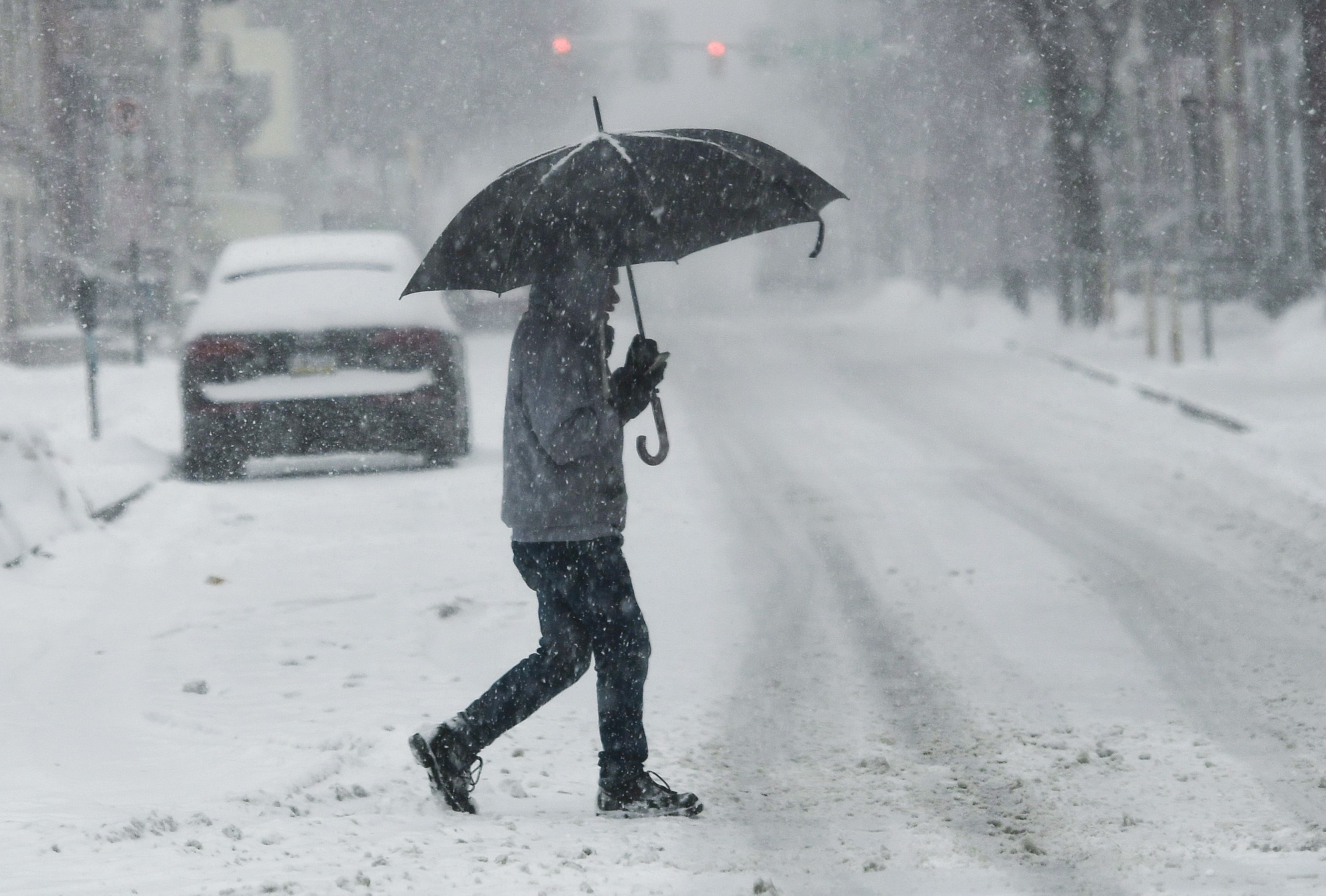
Experts have been stressing that while snow totals may not amount to much, the conditions at the time the snow is falling will make travel nearly impossible and any time outdoors increasingly dangerous.
The entire Chicago area has been upgraded to a winter storm warning, which predicts wind gusts of up to 50 mph and wind chills as low as 35 degrees below zero.
The winter storm warning will begin at 9 a.m. Thursday in McHenry, DeKalb, Kane, LaSalle, Kendall and Grundy counties, according to the NWS. The warning will take effect in Lake, DuPage, Kankakee, Cook and Will counties in Illinois at noon and in Lake, Newton and Jasper counties in northwest Indiana starting at 3 p.m. CT.
Feeling out of the loop? We'll catch you up on the Chicago news you need to know. Sign up for the weekly Chicago Catch-Up newsletter here.
It will remain in effect across the area until 6 a.m. Saturday.
Porter County, Indiana will see a blizzard warning beginning at 3 p.m. CT Thursday and continuing until 6 a.m. Saturday. The National Weather Service noted that such a warning is not based on snowfall amounts, but instead on winds and visibility.
While timing of the storm's intensity has fluctuated over the last few days, as of Wednesday afternoon, NBC 5 Storm Team Meteorologist Paul Deanno said the worst of the storm is expected to hit between 8 p.m. Thursday and 12 p.m. Friday, though some locations could see "rapidly deteriorating" travel conditions much earlier in the afternoon.
The National Weather Service predicts some suburbs northwest, west and southwest of Chicago could see the onset of the wintry system late Thursday morning, with road conditions and visibility quickly becoming dangerous.
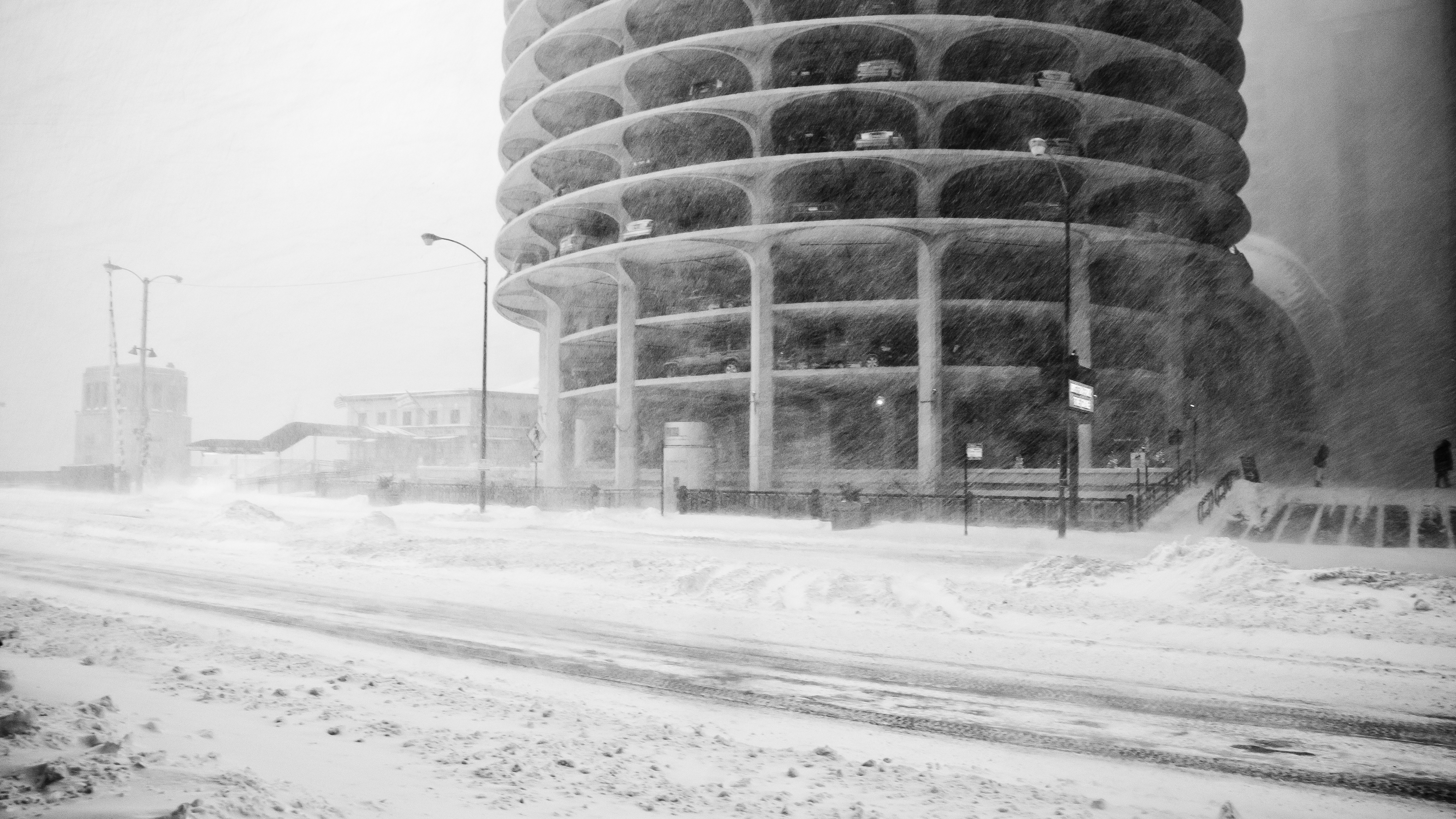
Blizzard conditions are possible Thursday afternoon and into Friday morning, according to the National Weather Service, with "brutal" travel conditions anticipated.
"Even when the snow stops, winds will still be strong," Deanno said. "So snow will be blowing around all over the place, making it look like it’s still snowing."
Here's what we know:
When the Snow Will Start?
Forecasters now expect some snow to develop starting Wednesday evening across northwest Illinois. The real snow, however, will begin Thursday morning in the western portion of the area first, shifting east toward the city by the early afternoon.
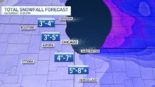
How Much Snow is Expected?
While the current forecasted snow totals may not seem noteworthy, "it's not just the snow," Deanno said. It's the combination of snow, high winds and dangerously cold wind chills.
Still, some areas could see more than 8 inches of snow, while others see closer to 3 inches, though projections continue to shift in the lead-up to the event.
Deanno also noted that wind could play a role in how much snow is left behind in your area. While some locations may see several inches of snow, that may not be the total left behind due to the high wind gusts blowing the snow to other locations.
Dangerous Travel Conditions
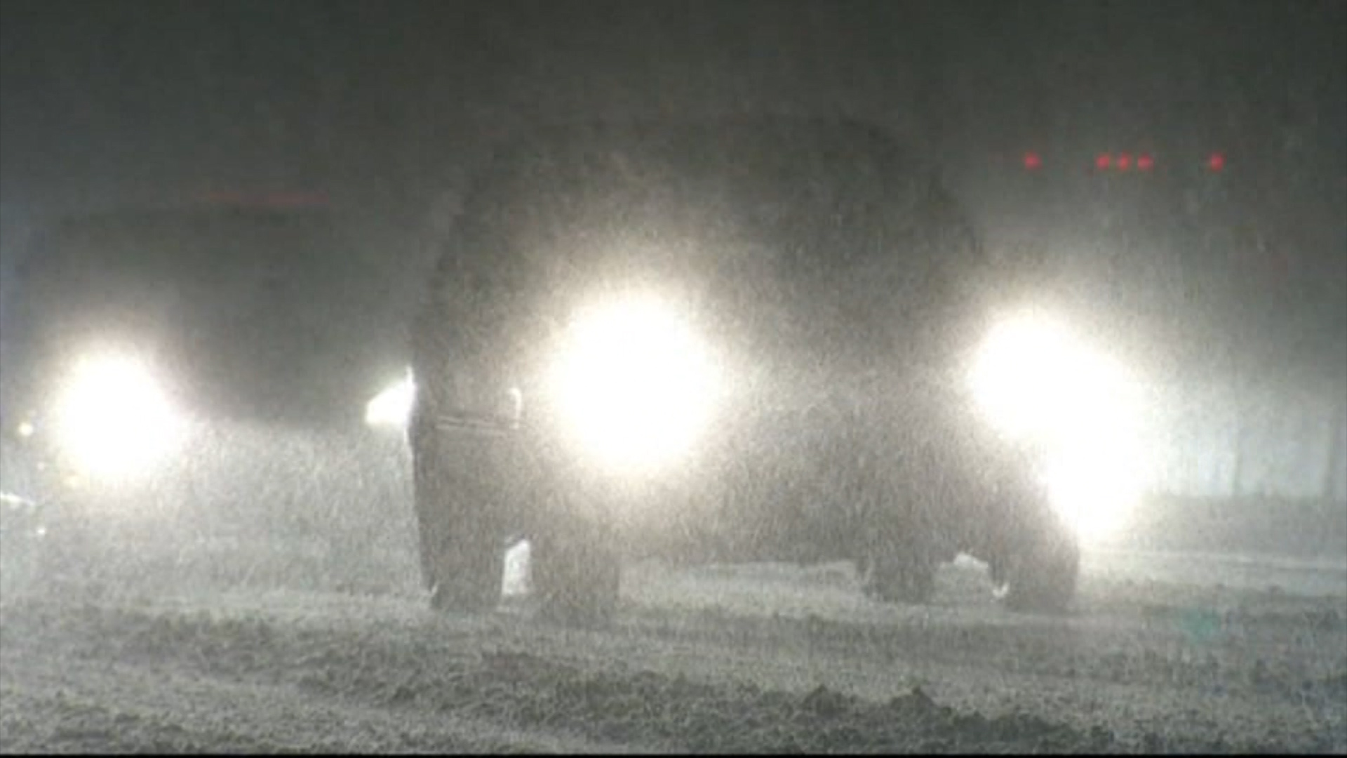
The National Weather Service is warning travelers and motorists -- whether they're taking trip out of town or just down the road -- that travel conditions during the height of the storm could be potentially "life-threatening."
In a message Wednesday afternoon, Illinois State Police asked the public to "stay off the roadways for the next couple of days during the severe winter weather expected to begin [Thursday]."
"If travel is absolutely necessary, allow enough time for travel and remain focused on the hazardous road conditions. Slow down AND move over for those vehicles stranded on the side of the road and for those emergency vehicles and personnel assisting them," the message read.
The Illinois Tollway said it plans to have increased staffing on hand for the storm.
“Our top priority during this storm will be keeping our customers safe by operating our plows around the clock to rapidly remove snow and ice from our roads and by quickly responding to any drivers whose vehicles become disabled on our system during this severe weather,” Illinois Tollway Executive Director Cassaundra Rouse said in a statement. “Our customers can help us keep them safe by slowing down, allowing extra time to reach their destinations and by giving our snowplows the extra room they need to keep the roads clear.”
The storm comes amid one of the busiest travel times of the year. According to AAA, 113 million Americans -- 5.8 million in Illinois -- are expected to travel 50 miles or more between Dec. 23 and Jan. 2. Wednesday and Thursday alone, the Illinois Tollway estimating that 1.7 million vehicles are expected to use the tollway system.
And according to the Chicago Department of Aviation, approximately 2.9 million air travelers are expected to pass through O'Hare and Midway International Airports between Dec. 21 and Jan. 2.
What Are Blizzard Conditions?
According to NBC 5 Storm Team, a specific set of conditions must be met in order for a weather pattern to be considered a blizzard. They include snow or blowing snow, wind gusts of at least 35 miles-per-hour, and visibility of a quarter-mile or less.
All three of those conditions must be present for at least three hours for a storm to be labeled a blizzard, NBC 5 meteorologists report.
According to NWS, the snowiest Christmas on record for the Chicago area took place in 1950, when the city say just over five inches of snow.
