
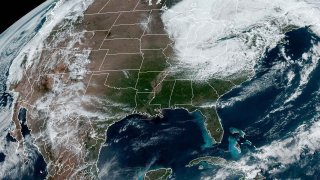
The Great Lakes region is on watch for heavy snow and winds throughout the front half of the week, with the potential for record-highs for the month of May. Wisconsin and the Upper Peninsula in Michigan are particularly vulnerable to this incoming storm, with three cities already reporting snowfall of more than 10 inches by early Monday morning.
The initial snowfall from the weekend is expected to be followed up with more precipitation throughout Monday.
According to NBC News, the second round of snow could be heavier due to "the intensifying storm system producing stronger winds forecast to wrap abundant Atlantic moisture into the storm." The added moisture can lead to heavier and more abundant snowfall.
Some areas of the Upper Peninsula could see as much as three feet of snow.
Feeling out of the loop? We'll catch you up on the Chicago news you need to know. Sign up for the weekly Chicago Catch-Up newsletter here.
The National Weather Service in Marquette, Wis. posted multiple warnings detailing what to expect from the storm and went so far as to say that residents could see a “historic late spring snowstorm the likes of which” haven’t been seen since May 1990 when much of Wisconsin got multiple inches of snow, lost power and were forced to shut down schools.
According to the same report, while the snow is expected to slow throughout the week, the high winds will remain a concern for the region.
The high winds are particularly problematic for waterfront towns, with Lake Superior having the potential for winds of up to 20 feet.
Local


Looking farther West, cities like Detroit, Pittsburgh and Cleveland could all see some precipitation. Similarly, the Appalachian Mountains are also preparing for snow mostly related to elevation and not connected to the storm rolling through the Midwest.
