


NBC 5 Storm Team meteorologist Alicia Roman has the latest forecast for the Chicago area.
Another winter blast is making its way to the Chicago area this weekend.
A potentially significant storm has set its sights on northern Illinois, likely bringing several inches of snow just days after much of the area saw between 5 and 8 inches of accumulation this week.
Weather alerts have been issued for several counties ahead of the weekend system.
But how much snow you see and when could depend on where you are.
Here is a breakdown of the forecast and what you can expect:
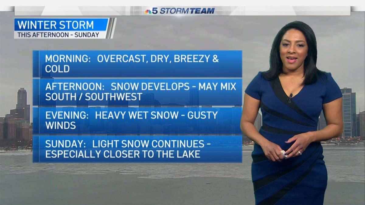
Saturday Morning
Saturday morning, mostly cloudy skies turn overcast as the day grows windy and cold with highs in the low to mid 30s.

Saturday Afternoon
The Chicago area will be under a winter storm warning beginning Saturday afternoon as the second major snowstorm of the week threatens to dump up to 9 inches of snow, possibly even more, on some parts of the area.
The warning begins at 3 p.m. Saturday and continues through 6 p.m. Sunday, though the system could begin with a short period of freezing rain before transitioning to snow. The following counties are included in the warning: Boone, McHenry, Lake (IL), De Kalb, Kane, DuPage, Kendall, Grundy, Kankakee, Cook, Will, Lake (IN) and Porter.
A winter storm watch remains in effect for Newton and Jasper counties in northwest Indiana from Saturday afternoon through Sunday morning, warning of 3 to 7 inches of snow possible, with some locations seeing higher totals.
After around 2 to 3 p.m., areas south and southwest of Chicago could begin to see a mix of snow and rain before the major system arrives. The NBC 5 Storm Team predicts the snowstorm will arrive in Chicago between 3 and 6 p.m.
Saturday Evening
A period of wet, heavy snow is expected across the area Saturday from 6 p.m. until midnight. After midnight, the snow should taper to a lighter falling by morning.
The winter storm watch warns of heavy, wet snow and strong winds that could cause low visibility and snow-packed roads, making travel conditions dangerous.
Sunday Morning
Initial projections show totals could be between 4 to 8 inches by dawn. An icy mix is possible far south toward the Kankakee River Valley which may limit totals.
Though things will lighten during the morning hours, how intense the snow will stay and for how long remains unclear as of Friday. There's likely to continue to be travel impacts during the morning hours.
Sunday Afternoon and Evening
The winter weather warning said accumulations could reach 5 to 9 inches of snow or higher in the area.
According to NBC 5 meteorologists, areas closer to Lake Michigan could see an additional 1 to 2 inches, ultimately accumulating to 10 to 11 inches, due to lake enhanced snow.
The winter storm warning will continue until 6 p.m. Sunday for most of the Chicago area.
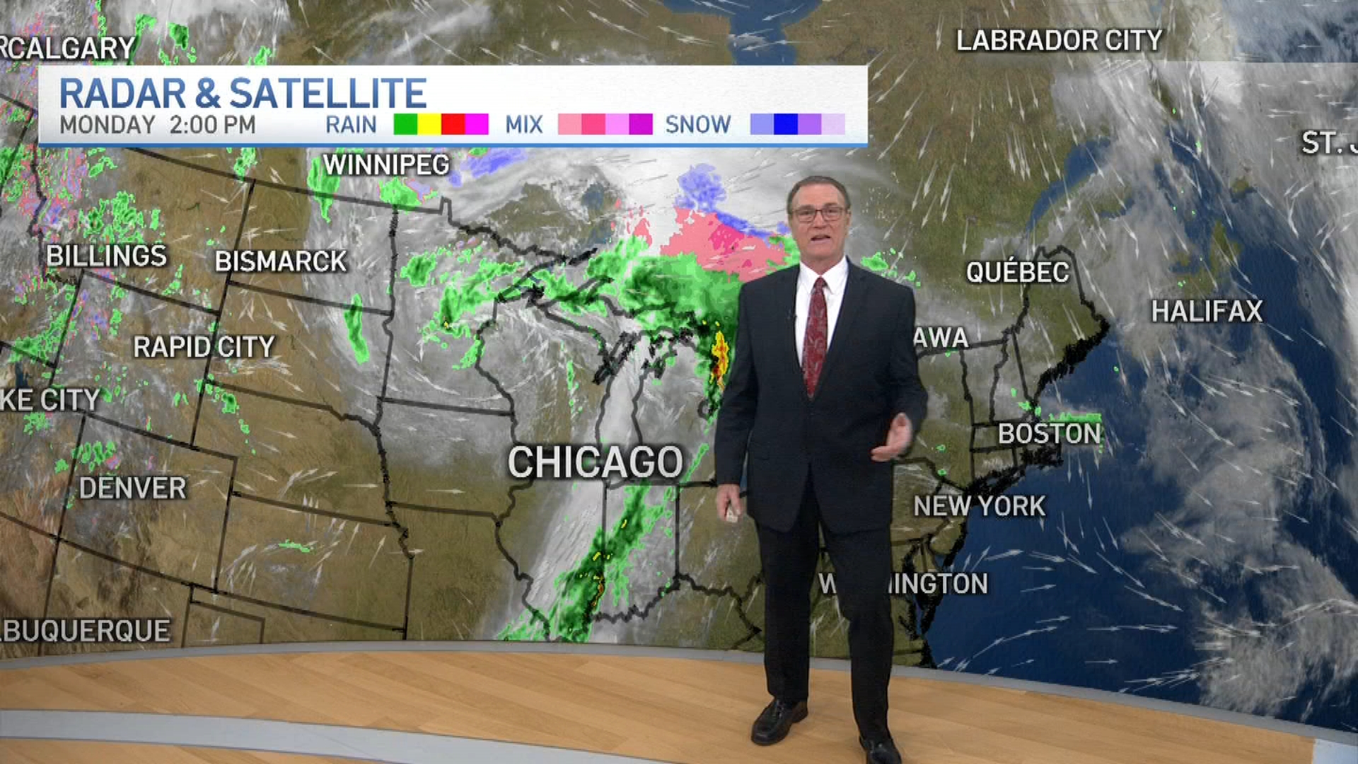
Monday Morning
The lake effect snow could continue into Monday morning, initial forecasts indicate.
The work week will otherwise start off partly sunny, breezy and seasonably cold with the next chance for snow or a light wintry mix possible on Wednesday afternoon or evening.

