


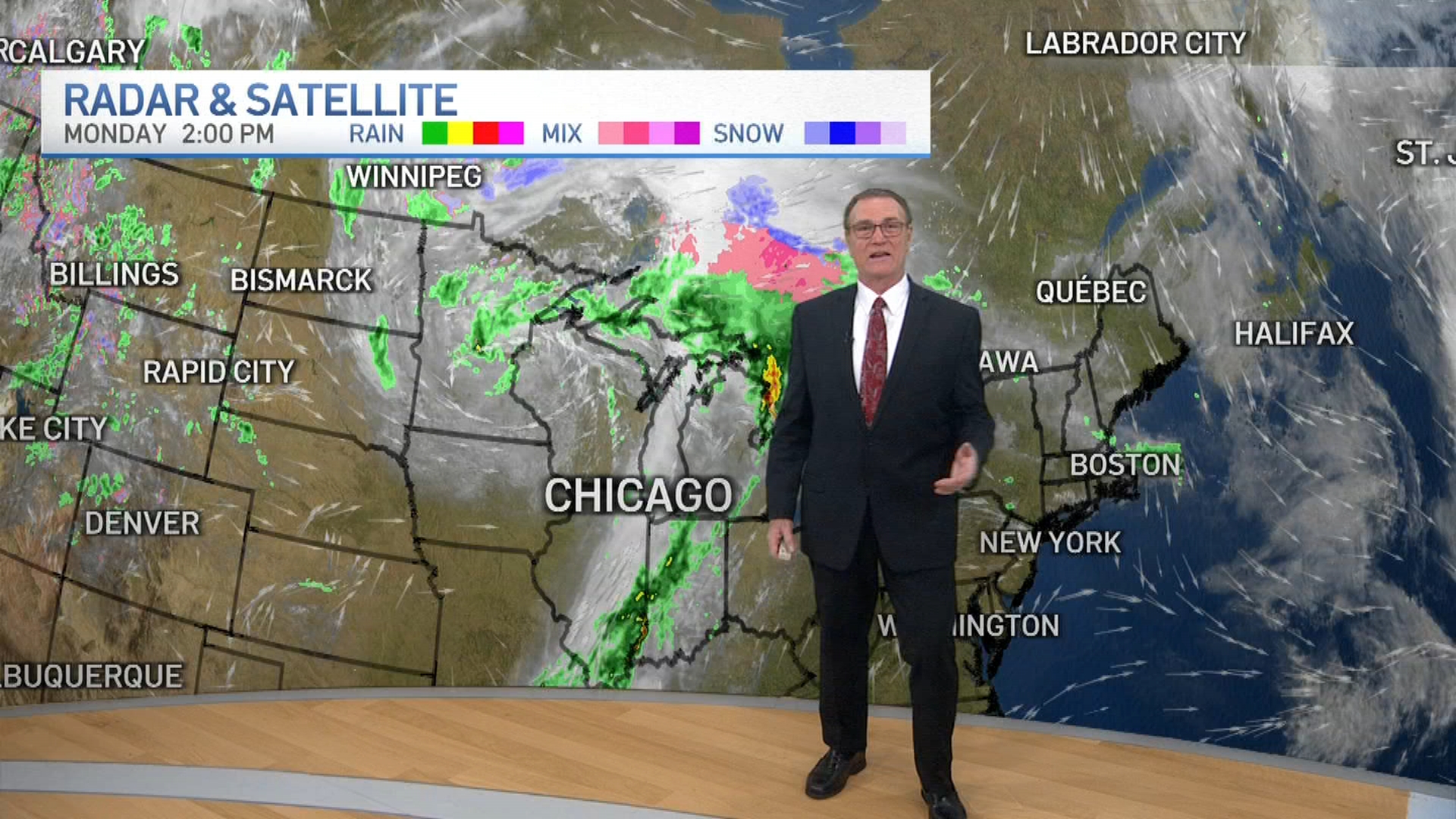
It’s about to get cold again, Chicago. The week is expected to start out wet with some rain showers developing Monday afternoon, ushering in a cold front that will pave the way for near-freezing temperatures
It's about to get cold again, Chicago.
A wet start to the week will usher in a cold front that could send temperatures to near-record lows with a Freeze Watch taking effect across the Chicago area beginning Tuesday evening.
A freeze watch was upgraded to a freeze warning, taking effects across the area overnight Tuesday and continuing into Wednesday morning, as sub-freezing temperatures in the upper-20s are expected.
"Frost and freeze conditions could kill crops, other sensitive vegetation and possibly damage unprotected outdoor plumbing," the alert warns.
Feeling out of the loop? We'll catch you up on the Chicago news you need to know. Sign up for the weekly Chicago Catch-Up newsletter here.
The warning is expected to continue through 9 a.m. CST Wednesday, though sub-freezing temperatures could return again Wednesday evening, according to the alert.
In fact, temperatures early Wednesday morning could reach near record lows, according to Storm Team 5 Meteorologist Alicia Roman.
The record morning low for April 21 is 27 degrees, set in 1986 at O'Hare Airport.

The forecast low at O'Hare for Wednesday morning is 28 degrees, as of Monday.
The temperature is well below the average low of 41 degrees.
Highs Wednesday will likely reach into the mid-40s before returning to the 50s by Thursday, where they'll stay through the weekend.

