
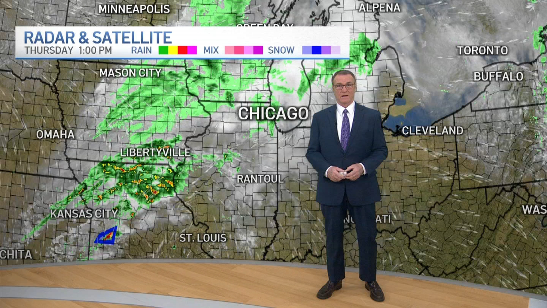
The Chicago area will be under a winter weather advisory beginning Tuesday as snow and ice are expected to make for dangerous travel conditions.
The advisory, which begins at 3 p.m. Tuesday, warns of snow, which could become heavy at times, that will transition to mixed precipitations, including freezing rain.
According to the weather alert, snow and sleet accumulations between 1 and 5 inches are possible, with the highest totals expected along and north of Interstate 88. Ice accumulations of up to two tenths of an inch are possible away from the Lake Michigan shoreline and inland.
The advisory is set to begin at 3 p.m. Tuesday and continue until 9 a.m. Wednesday in McHenry, Lake, DeKalb, Kane, DuPage, LaSalle, Kendall, Cook and northern Will counties in Illinois. For Grundy, Kankakee, southern and eastern Will counties in Illinois and Lake and Porter counties in Indiana, the advisory is in effect through 6 a.m.
The first chance for snow begins Tuesday evening, as a system is expected to spread over the area during the late afternoon and evening hours before transitioning to a wintry mix overnight.
The snow will likely change to freezing rain, leaving the potential for some snow and ice accumulations that could make travel hazardous Tuesday night and Wednesday morning.
Most of the Chicago area is under a "medium" threat for hazardous travel, while some southern suburbs and parts of northwest Indiana are under a "light" threat, according to the National Weather Service.
Weather
"Plan on slippery road conditions and periods of sharply reduced visibility late Tuesday afternoon into the early to mid evening," the advisory states. "The hazardous conditions will impact the Tuesday evening commute and possibly the Wednesday morning commute."
Warmer air is expected to move in later Wednesday morning, gradually turning the freezing rain into rain. Temperature highs are forecast to reach into the 40s.
A winter storm watch was upgraded to a warning for some parts of northern Illinois, just outside of the Chicago area, including Boone, Ogle and Winnebago counties. The warning takes effect late Tuesday afternoon and continues through Wednesday morning, warning of snow and sleet accumulations between 4 and 7 inches and ice accumulations of up to one tenth of an inch.
Another wintry mix of snow and freezing rain is possible New Year's Day.
