NOTE: The severe weather risk level has been upgraded for the entire Chicago area. Read more here.
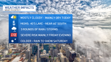
Three rounds of storms could bring threats of damaging winds, heavy rain, hail and possibly even tornadoes to the Chicago area Friday, but when could the worst of it hit and where?
While some of this system continues to evolve, stormy conditions are possible across the Chicago area.
Here's what the NBC 5 Storm Team is tracking as of Thursday morning:
Feeling out of the loop? We'll catch you up on the Chicago news you need to know. Sign up for the weekly Chicago Catch-Up newsletter here.
Timing of the Storms
Round 1
The first round of rain could start late Thursday evening and continue into Friday morning. While the threat for severe weather with this round is low, thunder, lightning and small hail could all be possible.
Weather
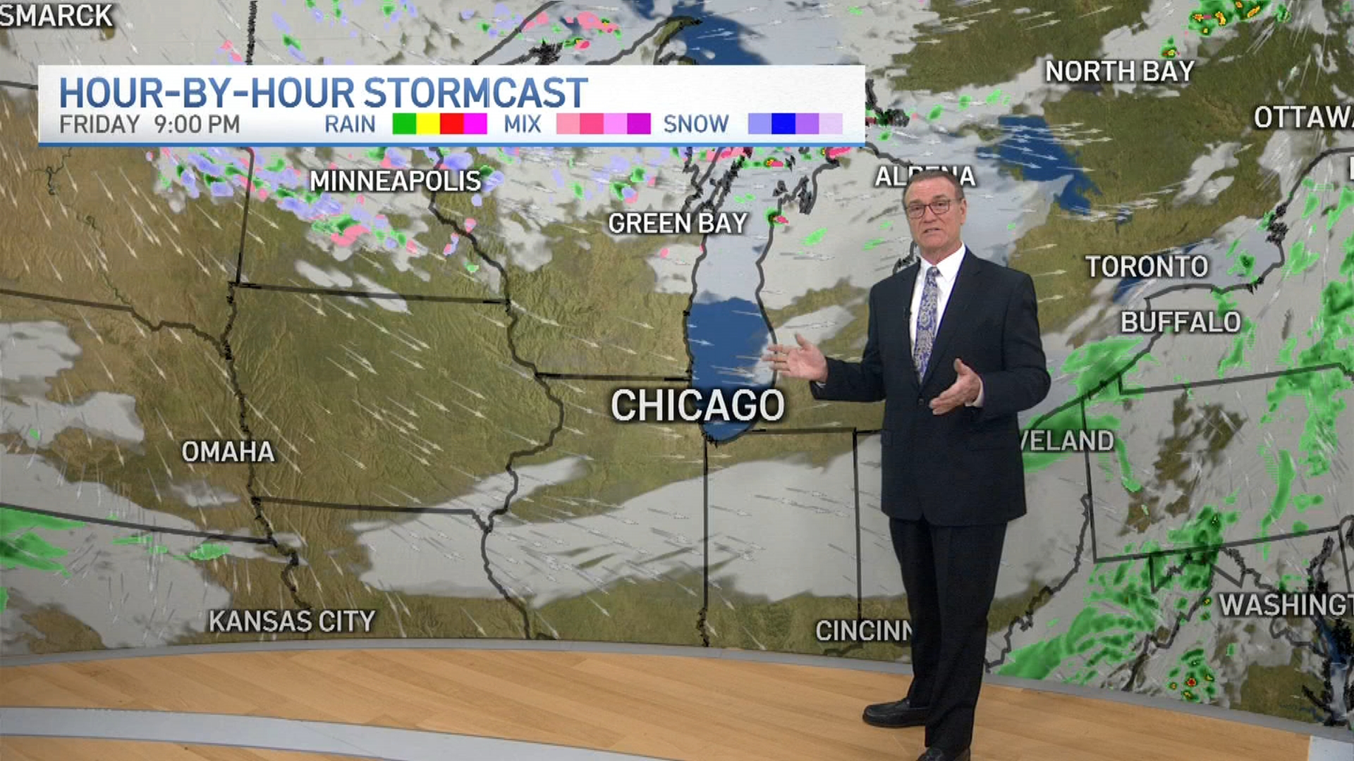
Round 2
The second round of storms moves in after 2 p.m. Friday, moving from west to east -- and quickly. The biggest window for severe conditions will begin around 3 p.m. and continue through 11 p.m.
Round 3
The third round of storms comes after 6 p.m., again moving from west to east. The threat for severe conditions will remain through about 11 p.m.
What to Expect
With each of these storms, there is an increasing threat for all severe weather hazards, meaning gusty and damaging winds of up to 75mph, heavy rain, hail and tornadoes are all possible.
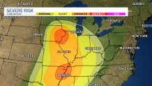
Parts of the region, particularly south and west, along with portions of northwestern suburbs, are under an "enhanced" risk for severe conditions Friday, while much of the area remains under a "slight risk," according to the Storm Prediction Center.
The enhanced risk, the third of five severe weather threat levels, indicates "numerous severe storms are possible." A slight risk, however, means "scattered severe storms are possible."
What's Next?
Temperatures are set to soar into the mid-60s on Friday before returning to the more seasonal 40s and 50s for the weekend.
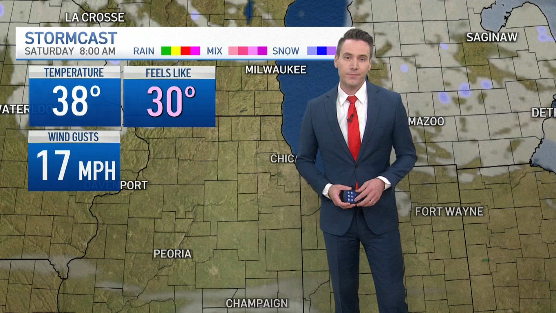
While much of the weekend looks to stay dry, there will be a chance for a rain-snow mix early Saturday morning, before skies clear for a partly sunny afternoon.
The risk for damaging winds continues into Saturday morning, largely for areas south and west of the city.
"These winds will be capable of downing tree limbs and causing additional power outages," according to the NWS.
Next week will likely see the active weather pattern continue, however.