Parts of the Chicago area woke up Tuesday to several inches of snow already on the ground in the midst of a snowstorm, but the snow isn't over yet and even more accumulation is expected.
A winter storm warning remains in effect for much of the region through Tuesday afternoon.
In DeKalb, Kane, LaSalle, Kendall, McHenry and Grundy counties, the warning will run through 12 p.m. on Tuesday.
In Lake, DuPage, Cook and Will counties, the warning expires at 5 p.m. Tuesday.
A winter weather advisory in Kankakee County in Illinois as well as Newton and Jasper counties in Indiana is set to last through 12 p.m. Tuesday. An advisory in Will County in Illinois and Lake and Porter counties in Indiana continues through 5 p.m.
Tuesday morning into the afternoon, the Chicago area will continue to see snow with additional lake-enhanced snow showers. Forecast models show the snowfall diminishing by Tuesday afternoon, leaving behind an additional 1 to 3 inches of accumulation.
Once the center of the storm passes to the east, the snow will wind down, but for areas along Lake Michigan it could be replaced by lake effect snow showers later Tuesday afternoon and evening, continuing into Wednesday morning for some.
These showers have the ability to produce quick accumulations in any given location where they set up. They could also move east into northwest Indiana before ending later in Wednesday afternoon.
Photos: Photos: Several Inches of Snow Blanket Chicago Area
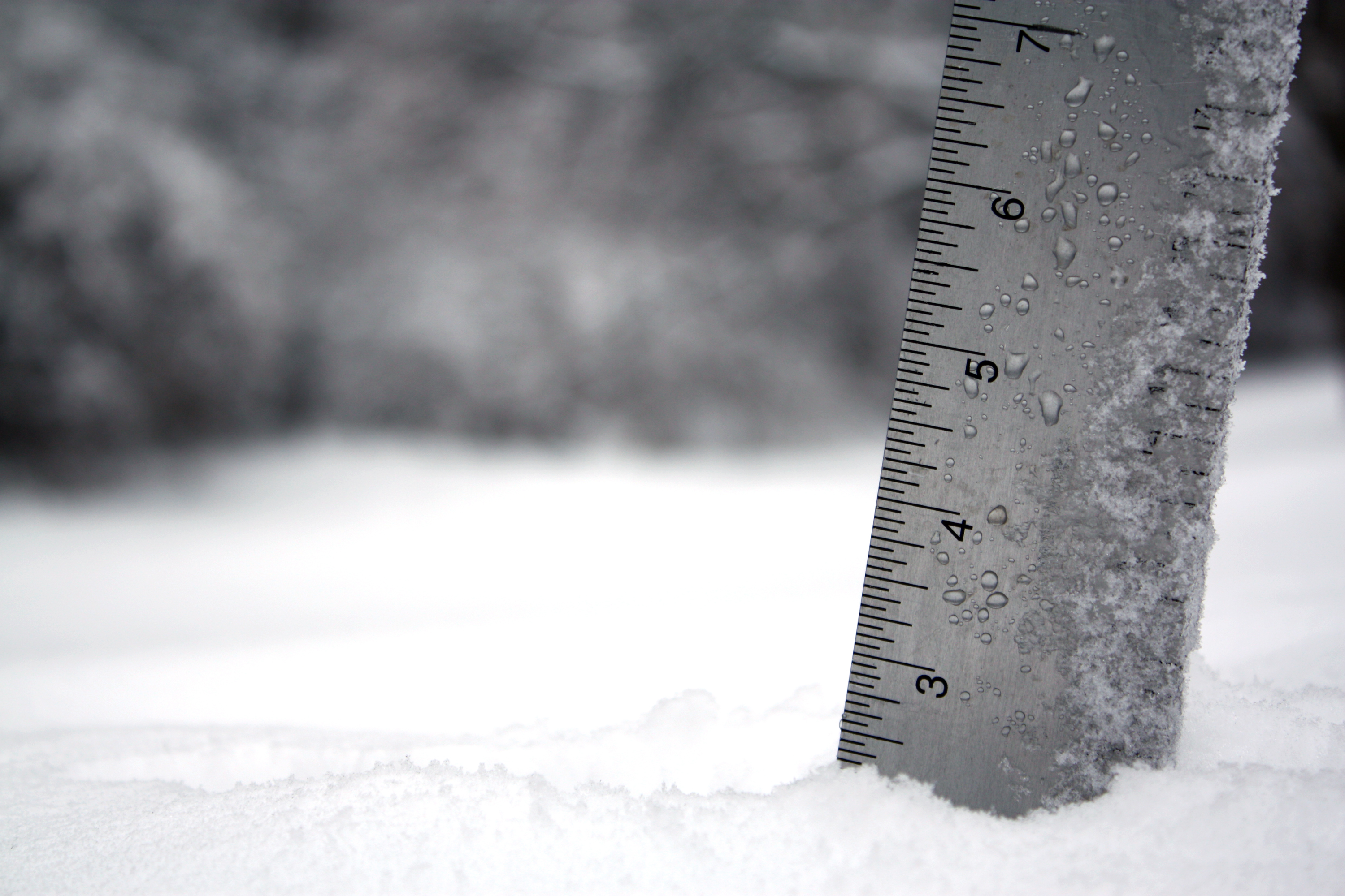
Forecast models indicate this will be the biggest snowfall of the season, ranging from about 4 to 7 inches, with localized pockets possibly reaching 8 inches, but far southern portions will see significantly less, more like 2 to 3 inches. Areas that do see lake effect showers could see even more accumulations.
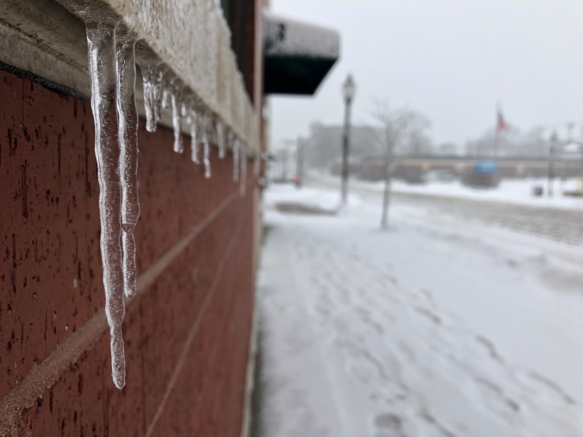
Southern portions of the region, south of I-80 and northwest Indiana, will likely see more ice, reaching up to around .02 inches in Valparaiso and .06 inches near Kankakee, potentially as high as .1 inches.