
Forecasters are tracking the possibility for snow to strike the Chicago area on New Year’s Day, potentially impacting travel and holiday plans across the region.
According to the National Weather Service, the threat of a possible winter storm “is increasing,” and the expectation is that the snow would arrive Saturday and would persist through Sunday morning.
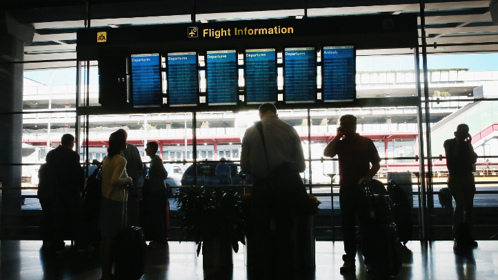
While the timing of the arrival of the snow is still unknown, the likelihood is that travel will be impacted Saturday afternoon and into the early evening in locations across the region.
Of course, there is still plenty up in the air with the snow, as the storm that would bring it to the area is still located off the coast of California.
Feeling out of the loop? We'll catch you up on the Chicago news you need to know. Sign up for the weekly Chicago Catch-Up newsletter here.
According to the NBC 5 Storm Team, any deviation to the path of the weather system could significantly impact how much snow, or even mixed precipitation, the area could see.
If the storm track moves to the south, then the system would likely deal only a “glancing blow” to the region, and forecasted snowfall totals would likely be revised downward.
Local

If the storm moves to the north, then it could possibly pull in warmer air, which would then turn a primarily snow-fueled into one marked by a mix of rain and snow.
The current track of the storm will bring it through the Midwest, with the center of the storm passing just to the south of Chicago, meaning that it would produce primarily snow in the area.
Any snowfall projections would be “premature,” according to the National Weather Service.
Forecasters are urging the public to keep an eye on the latest information, as the projected path of the storm will be more dialed in as it arrives on the West Coast and begins its trek toward the Midwest.
