
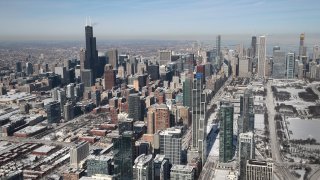
Chicago-area residents will wake up Sunday to temperatures that are already warmer than Saturday’s frigid high, and readings will continue to climb along with wind speeds throughout the day.
According to forecast models, high temperatures Sunday will be above normal for this time of year, climbing into the 40s throughout the region.
That rise in temperature can be credited to winds from the southwest, which could cause blowing snow in open areas, according to the National Weather Service.
In a special weather statement, NWS said that LaSalle, Grundy and Kankakee counties in Illinois, along with Porter, Newton and Jasper counties in Indiana, could see blowing snow and wind gusts of 30-to-40 miles per hour or higher, especially in open and rural areas.
Feeling out of the loop? We'll catch you up on the Chicago news you need to know. Sign up for the weekly Chicago Catch-Up newsletter here.
Residents are urged to use caution when driving in those areas.
Clouds will begin to build later in the day, with mostly cloudy conditions expected overnight. Temperatures will remain on the warmer side, with lows in the 30s expected into Monday morning.
During the day, a front is expected to stall out across the region, causing a bit of a divide in temperatures. Areas to the north of the front can expect highs in the mid-to-upper 30s, while areas to the south of the front will likely see temperatures in the mid-to-upper 40s.
Local

Eventually precipitation will begin along that front, with areas to the north potentially seeing a wintry mix or even freezing rain, while areas to the south will see showers in the evening and into Tuesday.
Tuesday will likely see more rain before the front moves out, with temperatures falling throughout the day.
The next chance for snow in the area is expected to arrive Thursday, with highs dropping back into the 20s to wrap up the work week.
