
Much of the Chicago area is under a winter storm warning beginning Saturday morning, kicking off 2022 with steady, heavy snowfall at times and hazardous road conditions that prompted Illinois officials to urge drivers to stay off roads.
Here's a breakdown of what to expect and when, from NBC 5's Storm Team.
9 a.m. Saturday: Storm arrives. It may start as rain or a rain/snow mix south of Chicago, but it will likely be all snow in Chicago and to the north and west.
2 p.m.: Heaviest snow arrives, especially in the thin bands of "lake-enhanced" snow due to the flow of air coming off of the non-frozen water of Lake Michigan.
Feeling out of the loop? We'll catch you up on the Chicago news you need to know. Sign up for the weekly Chicago Catch-Up newsletter here.
8 p.m.: Snow intensity starts to taper but snow continues.
3 a.m. Sunday: Snow ends for the majority of the Chicago area but lake-effect snow will continue in southern Cook County and northwest Indiana.
Noon Sunday: All snow is finished but wind chills will be in the single digits all afternoon.
The National Weather Service issued a winter storm warning beginning at 9 a.m. Saturday through midnight for much of the Chicago area. A winter storm watch was previously issued for the Chicago area from 6 a.m. Saturday until Sunday morning.
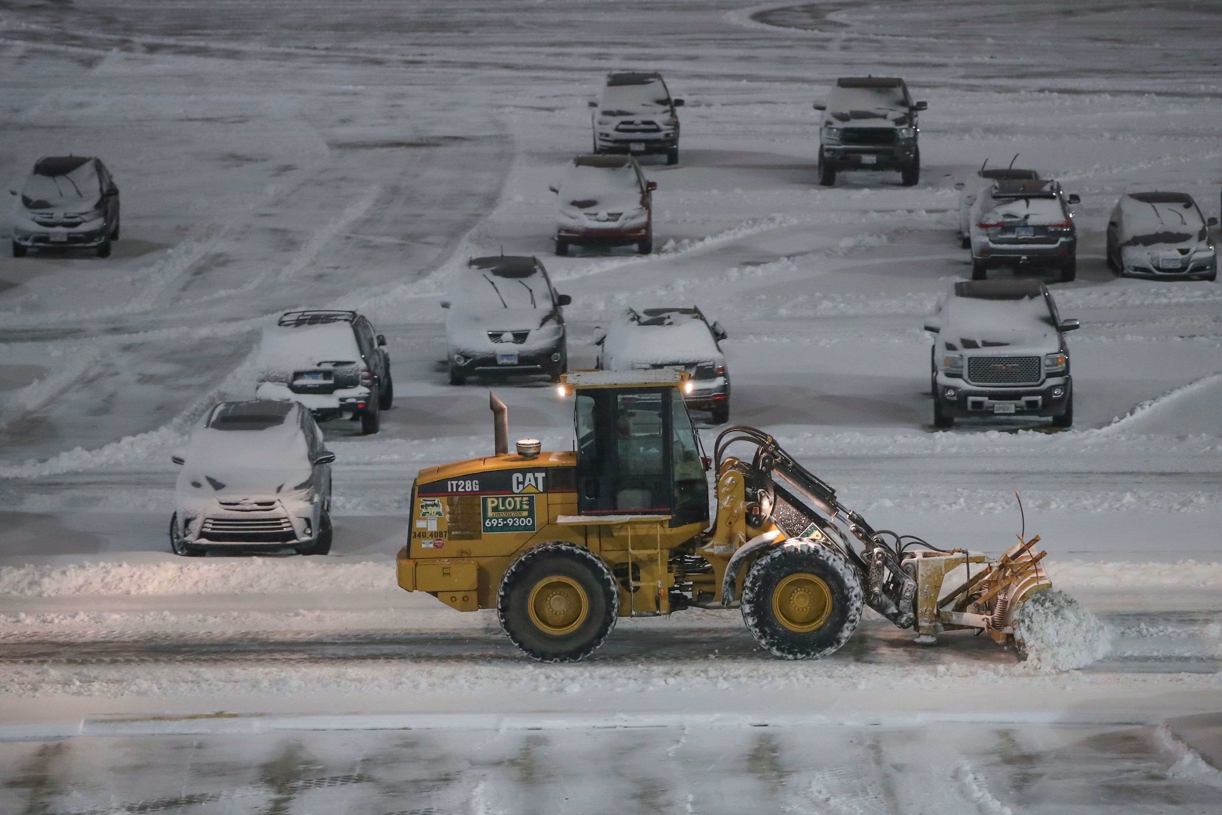
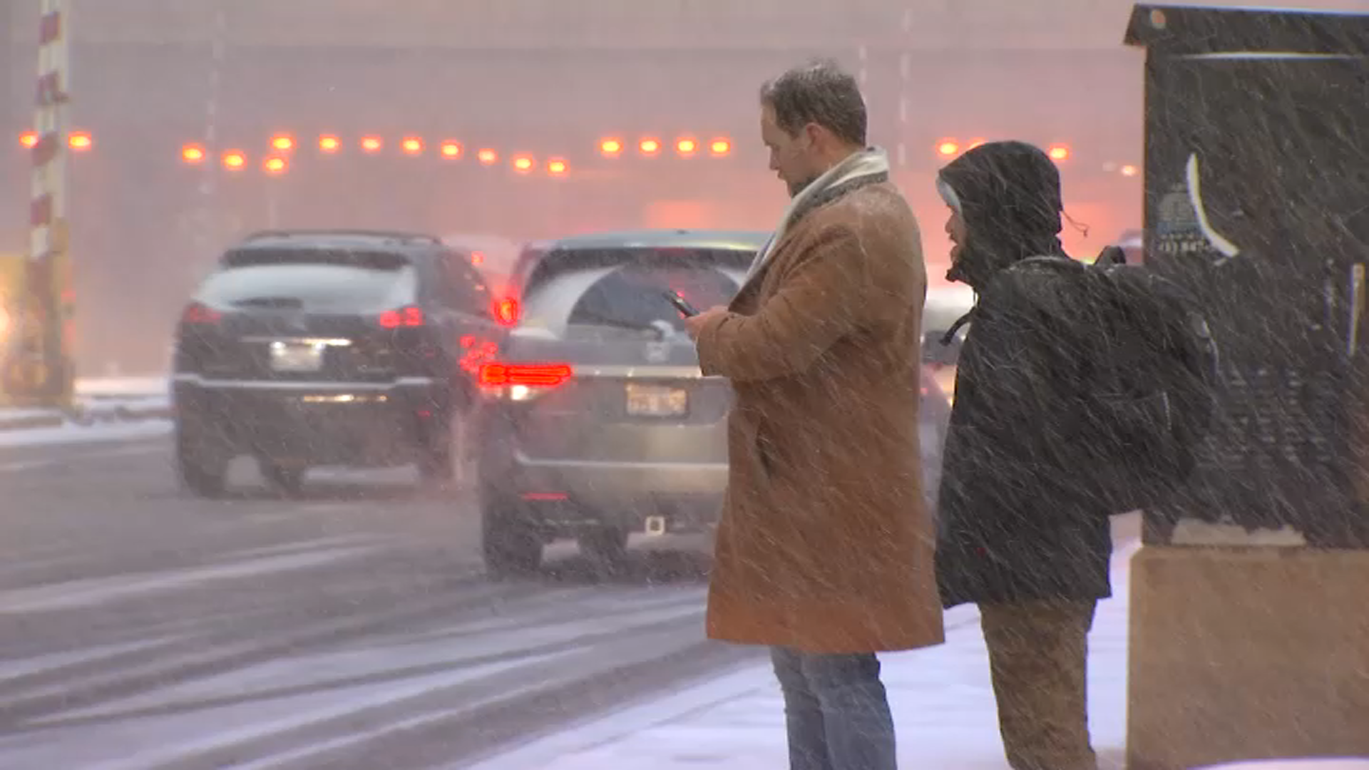
The Illinois Department of Transportation expects the winter storm will "create hazardous conditions across the state," including extremely slick conditions and poor visibility.
"IDOT crews will be out on the roads but conditions could still be extremely hazardous, so we encourage motorists to ask themselves if they really need to make the trip," said Illinois Transportation Secretary Omer Osman in a statement. "If you do have to travel, remember that the bitter cold and wind reduces the effectiveness of the materials we use to treat snow and ice. There will be lengthy travel times so make sure to prepare your vehicle in the event you are stranded."
Forecasters say that steady, blowing snow will be the primary threat from the storm, causing dangerous travel conditions throughout the area.
Snow accumulations will vary widely depending on the track of the storm, but forecasters say that accumulations between four and six inches are possible, along with northeasterly winds gusting in excess of 35 miles per hour.
IDOT said more than 1,800 trucks and equipment will be deployed statewide to treat roads and respond to weather emergencies. Drivers are asked to slow down and increase driving distance if you encounter a plow or maintenance vehicle.
If you must travel, IDOT recommends:
• Take it slow, especially when approaching intersections, ramps, bridges and shaded areas that are prone to icing.
• Make sure your gas tank is full.
• Keep a cell phone, warm clothes, blankets, food, water, a first-aid kit, washer fluid and an ice scraper in your vehicle.
• Check the forecast and make sure someone is aware of your route and schedule.
• Carry a cellphone and dial *999 in the Chicago area for assistance in case of emergency.
• Reminder: Using handheld phones while driving is illegal in Illinois, unless it is an emergency situation.
• If you are involved in a crash or break down, remain inside your vehicle, which is your safest form of shelter. Exiting your vehicle into live traffic can have fatal consequences.
• Always wear a seat belt, whether you’re sitting in the front seat or back seat. It’s the law.
