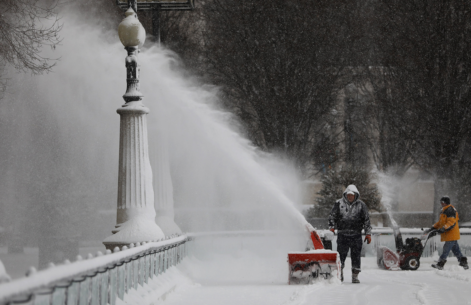
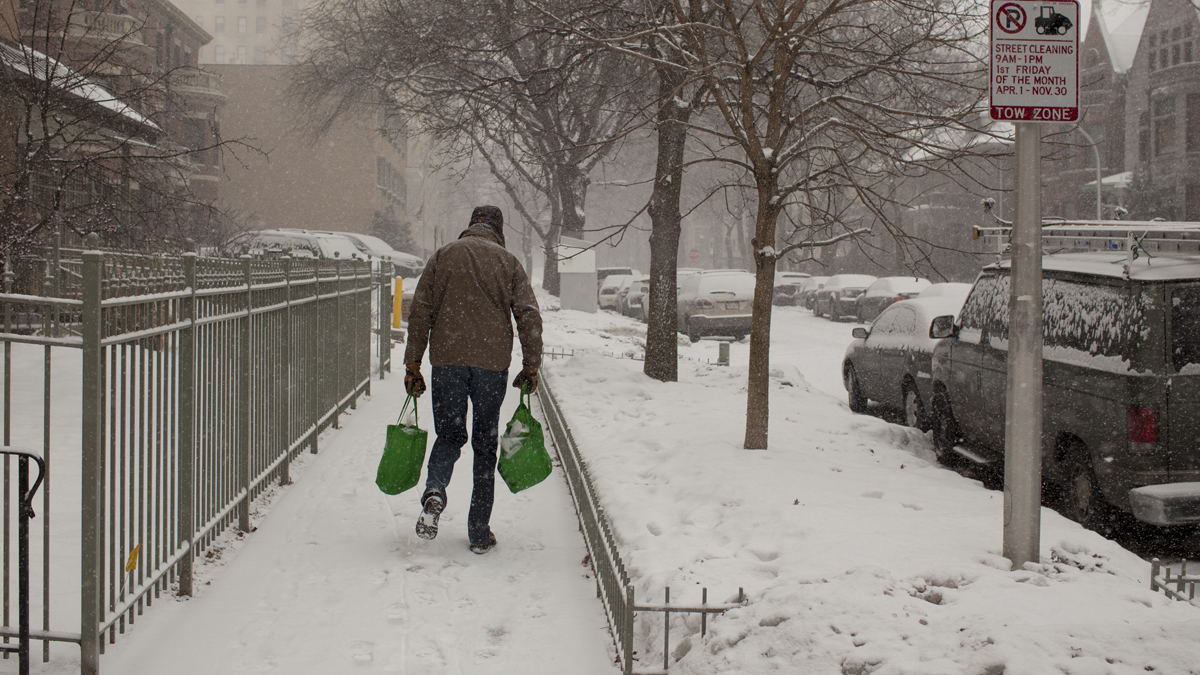
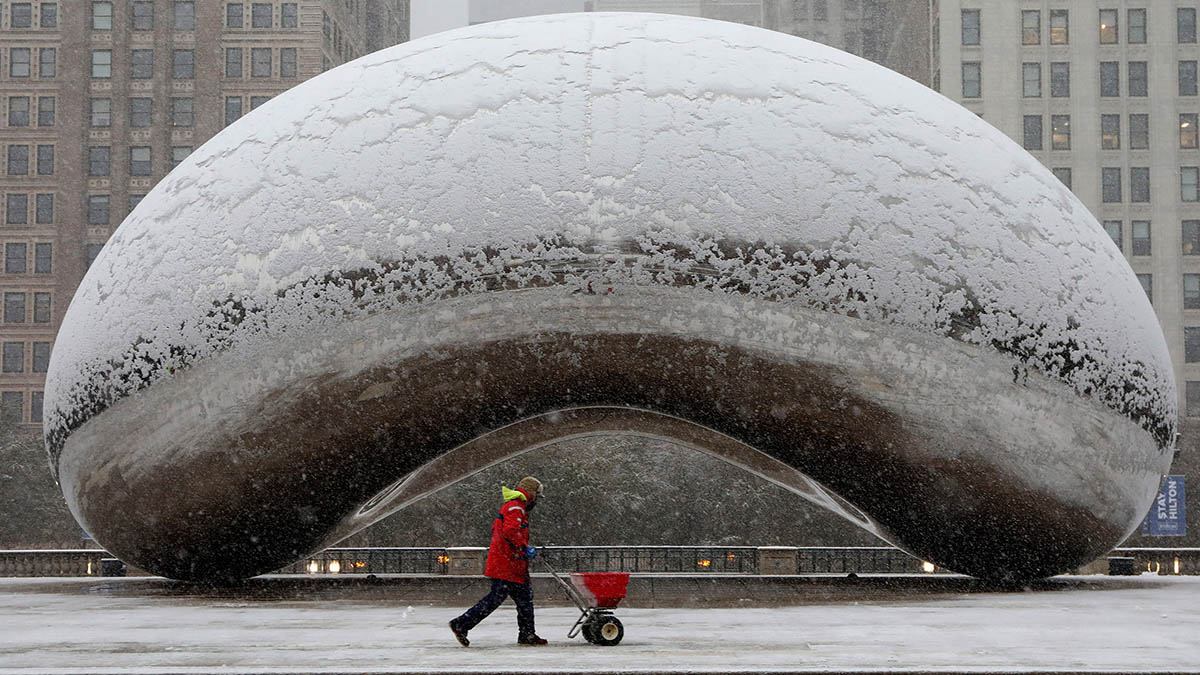
The Chicago area will likely see its biggest snowfall of the season starting Monday, with a winter storm warning issued for most of the region.
Here's a breakdown of timing for the storm - when weather alerts take effect and what you can expect.
Warnings and advisories
A winter storm warning issued by the National Weather Service took effect at 1 p.m. in DeKalb, Kane, LaSalle, Kendall and Grundy counties. That warning will run through 12 p.m. on Tuesday. In McHenry County, the warning went into effect at 4 p.m. Monday and also expire at noon Tuesday.
In Lake, DuPage, Cook and Will counties, the warning went into effect at 4 p.m. Monday and expires at 5 p.m. Tuesday.
A winter weather advisory also took effect at 1 p.m. in Kankakee County in Illinois as well as Newton and Jasper counties in Indiana. Another began at 4 p.m. in Will County in Illinois and Lake County in northwest Indiana. Both advisories are set to last through 12 p.m. Tuesday.
All of the warnings and advisories warn of snow and mixed precipitation which will make for hazardous travel conditions and potential power outages due to the "expected wetter nature of the snow and strong and gusty winds."
A lakeshore flood advisory also took effect at 4 p.m. in Cook and Lake counties in Illinois as well as in Lake County, Indiana. That advisory warns of minor to moderate lakeshore flooding due to large waves of 8 to 13 feet and high lake levels, according to the NWS. The advisory runs through 12 p.m. Tuesday.
Overnight Monday into Tuesday
Overnight, parts the southern portion of the region will likely see rain and sleet leaving the area but snow coverage remaining as the entire Chicago area continues to see widespread snowfall.
Tuesday morning and afternoon
Tuesday morning into the afternoon, the Chicago area will likely continue to see heavy snow with additional lake-enhanced snow showers. Forecast models show the snowfall diminishing by Tuesday afternoon or early evening.
Southern portions of the region, south of I-80 and northwest Indiana, will likely see more ice, reaching up to around .02 inches in Valparaiso and .06 inches near Kankakee, potentially as high as .1 inches.
Forecast models indicate this will be the biggest snowfall of the season, ranging from about 4 to 7 inches, with localized pockets possibly reaching 8 inches, but far southern portions will see significantly less, more like 2 to 3 inches.